2010s Maps of Garrard County, Kentucky
Explore 44 historic maps of Garrard County from the 2010s. These maps offer a rare glimpse into what life looked like during the 2010s — showing old roads, neighborhoods, homes, and landmarks that have changed or disappeared over time.
Whether you're researching your family's past, planning a metal detecting trip, or studying how Garrard County's landscape evolved across the 2010s, these high-resolution maps are a powerful tool for exploring the history of this region.
- Focus on a specific era: All maps on this page are from the 2010s, giving you a focused view of this time period.
- See what’s changed: Compare century-old streets, trails, and buildings to today's modern landscape using overlays and satellite layers.
- Research with precision: Use these maps for genealogy, historical research, land use analysis, or educational projects.
- View, download, or print: Maps are fully viewable online in high resolution, and can be downloaded or printed for your own records.
Start exploring Garrard County's history through authentic maps from the 2010s. This is your window into the past.
Garrard County, KY maps
(44)- 2010 Map of Berea, 2010 Print
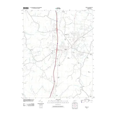 2010 Berea2010 Print · USGSBerea and its surrounding Madison County highlands are captured here in the early twenty-first century. Researchers can locate numerous family burial sites like Todd Cemetery and Witt Cemetery or trace landmarks like Boone Gap.
 - 2010 Map of Buckeye, 2010 Print
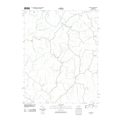 2010 Buckeye2010 Print · USGSGarrard County at the start of the decade shows a quiet rural landscape defined by the winding Kentucky River. Researchers can map the homesteads and small communities near Buckeye, Judson, and the distinctive river bend at Devils Elbow.
 - 2010 Map of Kirksville, 2010 Print
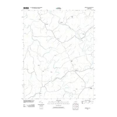 2010 Kirksville2010 Print · USGSIn the hills of Madison County, this modern survey shows the enduring rural layout of communities like Kirksville and Cottonburg. Genealogists and local historians can trace family ties through several mapped burial grounds, including Gilead Cemetery and Moore Cemetery.
 - 2010 Map of Brodhead, 2010 Print
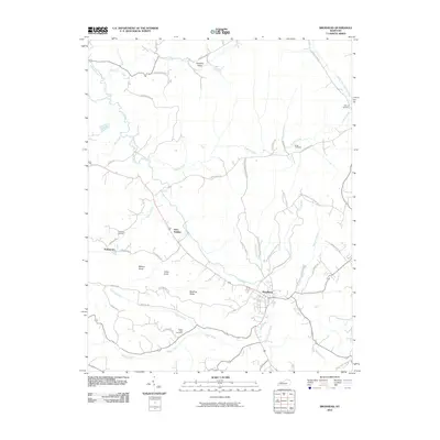 2010 Brodhead2010 Print · USGSBrodhead and its surrounding Rockcastle County valleys are captured here in the early twenty-first century. Researchers can trace family history through several named burial grounds like Negro Creek Cemetery and explore rural hamlets including Gum Sulphur and Turkeytown.
 - 2010 Map of Wilmore, 2010 Print
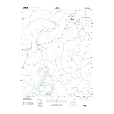 2010 Wilmore2010 Print · USGSThe Kentucky River gorge near Wilmore is captured here in the early twenty-first century, featuring its deep bends and engineering landmarks. Trace local history through High Bridge, Dix Dam, and numerous riverside settlements like Castlewood Camp and Ashleys Camp.
 - 2010 Map of Paint Lick, 2010 Print
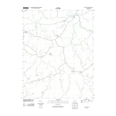 2010 Paint Lick2010 Print · USGSPaint Lick and the rural reaches of Garrard County appear in the early 21st century as a landscape deeply rooted in its family history and geography. Researchers can trace numerous ancestral burial sites like Stringtown Cemetery and Davis Cemetery along the banks of Paint Lick Creek.
 - 2010 Map of Little Hickman, 2010 Print
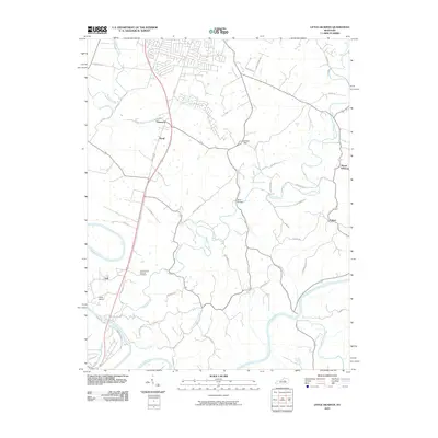 2010 Little Hickman2010 Print · USGSJessamine County and the winding Kentucky River are shown here in the early twenty-first century. Researchers can trace historic family lands and settlements along Hickman Creek, from Camp Nelson National Cemetery to Sulphur Well.
 - 2010 Map of Bryantsville, 2010 Print
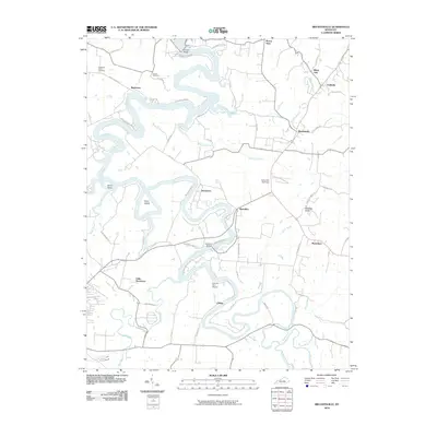 2010 Bryantsville2010 Print · USGSBoyle County settlement patterns and the deep meanders of the Dix River define this area at the start of the 2010s. Researchers can locate family landmarks such as Proctor Cemetery, the historic Camp Dick Robinson, and the crossing at Chenault Bridge.
 - 2010 Map of Lancaster, 2010 Print
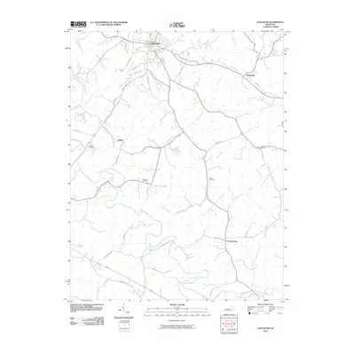 2010 Lancaster2010 Print · USGSGarrard County's agricultural and river landscape is documented here during the early twenty-first century, centered on the historic hub of Lancaster. Researchers can locate rural landmarks like Preachersville, Goshen Cemetery, and the path of the iconic Wilderness Rd.
 - 2010 Map of Stanford, 2010 Print
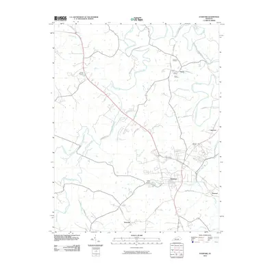 2010 Stanford2010 Print · USGSThe Stanford area in the early twenty-first century maintains its character as a historic Kentucky crossroads. Researchers can trace the legacy of early migration routes and local burial sites like Buffalo Spring Cemetery, Logantown, and the Wilderness Trl.
 - 2010 Map of Wildie, 2010 Print
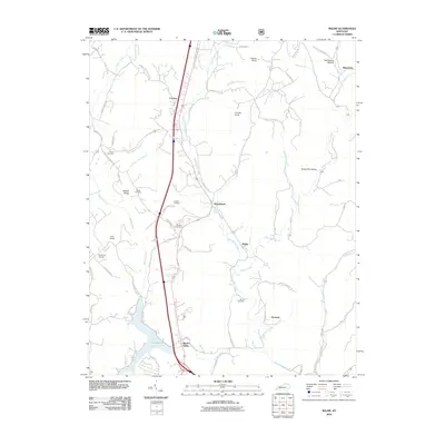 2010 Wildie2010 Print · USGSRockcastle County at the start of the 2010s shows a landscape where modern infrastructure meets deep-rooted rural settlements. Researchers can trace family history through several named burial sites like Himell Cemetery or explore the hills surrounding Wildie and Renfro Valley.
 - 2013 Map of Paint Lick, 2013 Print
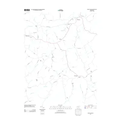 2013 Paint Lick2013 Print · USGSGarrard County, Kentucky, at the start of the twenty-first century reveals a countryside shaped by ancient knobs and winding creek forks. Local researchers can trace old pathways along Old Railroad Grade Rd or locate rural landmarks like Graveyard Hill and the Cartersville Airport.
 - 2013 Map of Wildie, 2013 Print
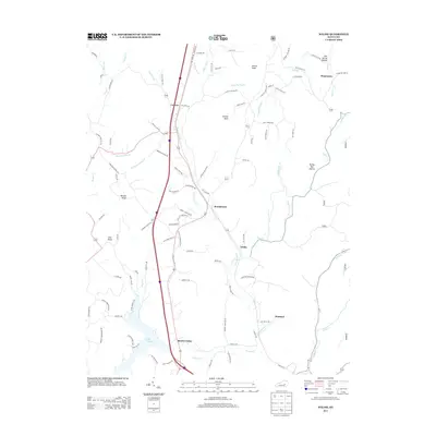 2013 Wildie2013 Print · USGSRockcastle County is shown here in the early twenty-first century as Interstate 75 bisects the rural landscape. Genealogists and hikers can trace connections between Renfro Valley and family-named landmarks like Owens Knob and Brindle Ridge.
 - 2013 Map of Wilmore, 2013 Print
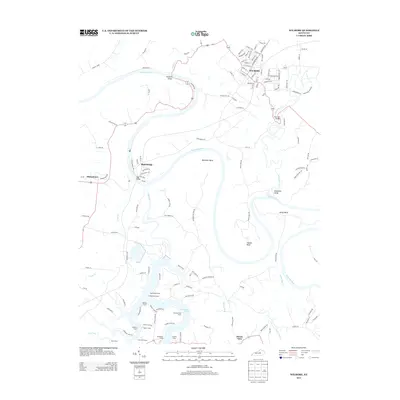 2013 Wilmore2013 Print · USGSThis central Kentucky landscape is defined by the sharp meanders of the Kentucky River and the deep inlets of Herrington Lake in the early twenty-first century. Researchers can trace historic river crossings like High Bridge or locate local landmarks like Shakertown and Chimney Rock Camp.
 - 2013 Map of Lancaster, 2013 Print
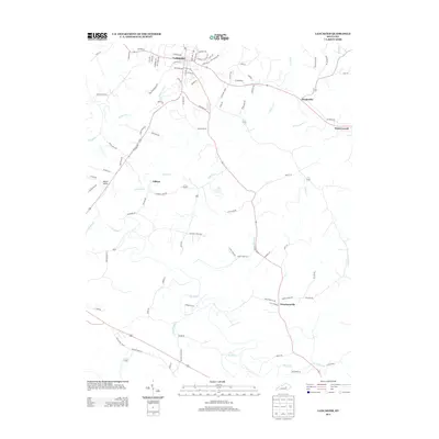 2013 Lancaster2013 Print · USGSGarrard County, Kentucky, is shown here in the early twenty-first century, centered on the historic seat of Lancaster. Researchers can trace the development of small communities like Hyattsville, Preachersville, and Gilbert along the banks of the Dix River.
 - 2013 Map of Buckeye, 2013 Print
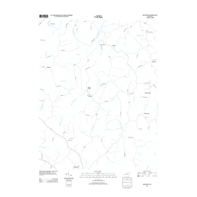 2013 Buckeye2013 Print · USGSGarrard County is documented here in the early twenty-first century as a landscape of river meanders and ridge-top hamlets. Genealogists and local historians can trace family-named roads and rural communities like Teatersville, Buckeye, and Three Forks.
 - 2013 Map of Stanford, 2013 Print
 2013 Stanford2013 Print · USGSStanford and its neighboring hamlets are captured in this detail-rich Kentucky survey from the early 2010s. Researchers can trace the layout of Stanford, locate the old Givens Depot, and explore local water landmarks like Buffalo Spring and Hanging Fork Cr.
 - 2013 Map of Brodhead, 2013 Print
 2013 Brodhead2013 Print · USGSBrodhead and its surrounding Rockcastle County rural landscape are documented here in the early twenty-first century. Genealogists and researchers can locate family-named landmarks and small settlements like Gum Sulphur, Turkeytown, and the Cox Cemetery.
 - 2013 Map of Little Hickman, 2013 Print
 2013 Little Hickman2013 Print · USGSThe Kentucky River meanders through Jessamine County in the early twenty-first century, shaping a landscape of deep bends and rural uplands. Genealogists and hikers can trace landmarks like Chimney Rock, the historic grounds of Camp Nelson, and the community of Little Hickman.
 - 2013 Map of Berea, 2013 Print
 2013 Berea2013 Print · USGSMadison County at the start of the 2010s shows a landscape where historic Kentucky settlements meet modern regional growth. Researchers can trace the development of Middletown and Farristown, or locate family-named landmarks like Dead Horse Knob and Welch Mountain.
 - 2013 Map of Kirksville, 2013 Print
 2013 Kirksville2013 Print · USGSMadison County's rural communities and rolling ridge-lines are documented here in the early twenty-first century. Researchers can trace local heritage through landmarks like Round Hill, the branching waters of Silver Cr, and the community of Kirksville.
 - 2013 Map of Bryantsville, 2013 Print
 2013 Bryantsville2013 Print · USGSThis early twenty-first-century view of the area near Danville shows a landscape defined by the deep waters of Herrington Lake. Researchers can trace old community centers at Bryantsville and Marcellus or locate family-named landmarks like Kennedy Bridge.
 - 2016 Map of Stanford, 2016 Print
 2016 Stanford2016 Print · USGSLincoln County in the mid-2010s shows a landscape where historical traces like the Wilderness Trl meet established hubs like Stanford. Genealogists and historians can locate numerous family burial sites, including Blackerby Cem and Barrows Cem, while tracing the course of the Dix River.
 - 2016 Map of Bryantsville, 2016 Print
 2016 Bryantsville2016 Print · USGSCentral Kentucky's river-cut landscape is captured here in the mid-2010s, showing the intersection of four counties along the serpentine Dix River. Researchers can locate family landmarks like Sallee Cem and trace the rural layouts of Little Needmore, Marcellus, and Davistown.
 - 2016 Map of Wilmore, 2016 Print
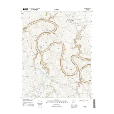 2016 Wilmore2016 Print · USGSThe Kentucky River palisades and the college town of Wilmore are captured here in the mid-2010s. Researchers can trace historical river crossings like High Bridge and Brooklyn Bridge or locate local landmarks such as Asbury Coll and Hill Cem.
Showing maps 1-25 of 44
Top cities of Garrard County
Frequently asked questions
- What are the different types of historical maps available for Garrard County?
- What is the oldest map of Garrard County?
- Where can I purchase historical maps of Garrard County for my home or office?
- Where can I download high-res historical maps of Garrard County?
- Are there historical topographic maps available for Garrard County?
- Is there historical aerial imagery available for Garrard County?
- Where are historical maps of Garrard County sourced from?