Old Maps of Cuba, Kentucky for Hiking & Exploration
Hike through history with 10 historic maps of Cuba. Explore old trails, ghost towns, and forgotten backroads — perfect for outdoor adventurers and local explorers.
- Rediscover forgotten places: Map out old mining camps, roads, and footpaths that no longer exist on modern maps.
- Layer with modern tools: Combine with LiDAR or satellite views to plan hikes through historical terrain.
- Made for exploration: Popular among hikers, overlanders, and local history lovers.
Use these maps to find adventure and explore the hidden past of Cuba.
Cuba, KY maps
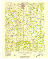
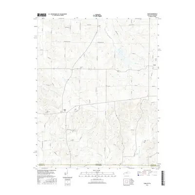
(10)- 1952 Map of Cuba, 1953 Print
 1952 Cuba1953 Print · USGSWestern Kentucky and Northwest Tennessee meet in the early fifties along a borderland of productive farmsteads and rural crossroads. Genealogists and local historians can trace family roots at Old Bethlehem Cem, Poyners Chapel, and the divided community of Dukedom.
 - 1952 Map of Mayfield, 1957 Print
 1952 Mayfield1957 Print · USGSGraves County, Kentucky, was a bustling network of rail-side towns and rural parishes at the mid-century. Researchers can trace family history through dozens of landmarks like Rozzell Cem, follow the Illinois Central Railroad, or locate the County Farm.
 - 1956 Map of Dyersburg, 1960 Print
 1956 Dyersburg1960 Print · USGSThe Four Rivers region comes alive in the mid-fifties, capturing the intricate borderlands of Tennessee, Kentucky, and Missouri. Genealogists and historians can trace the rail-and-river networks connecting Dyersburg, Caruthersville, and the shoreline of Reelfoot Lake.4 unique versions available
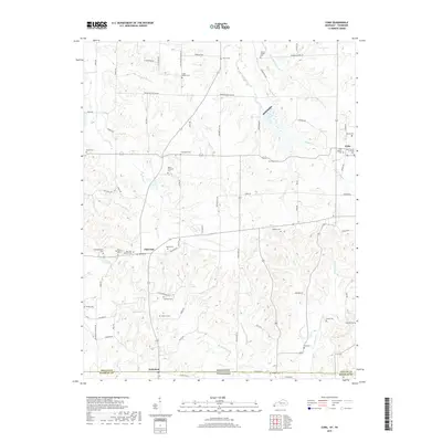
 - 1977 Map of Cuba
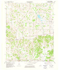 1977 Cuba1977 Print · USGSGraves County, Kentucky, and the Tennessee borderlands are captured here in the late seventies, showing a landscape defined by small farms and creek bottoms. Genealogists can trace family names through dozens of sites like Neale Cem and Adams Cem or locate community anchors such as Pilot Oak and Little Bethel Ch.
 - 1986 Map of Murray
 1986 Murray1986 Print · USGSWestern Kentucky in the mid-1980s reveals a landscape defined by the Tennessee and Cumberland rivers. Genealogists and historians can trace rail-town development along the Illinois Central Gulf RR and find family-named locations like Dukedom and Water Valley.2 unique versions available
 - 2010 Map of Cuba, 2010 Print
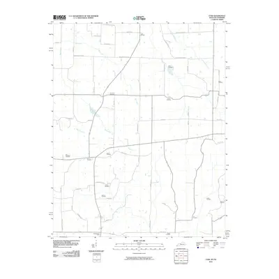 2010 Cuba2010 Print · USGSCovers Cuba, including Pilot Oak, Dukedom, and other nearby areas
 - 2013 Map of Cuba, 2013 Print
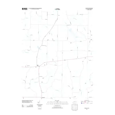 2013 Cuba2013 Print · USGSCovers Cuba, including Pilot Oak, Dukedom, and other nearby areas
 - 2016 Map of Cuba, 2016 Print
 2016 Cuba2016 Print · USGSCovers Cuba, including Pilot Oak, Dukedom, and other nearby areas
 - 2019 Map of Cuba, 2019 Print
 2019 Cuba2019 Print · USGSCovers Cuba, including Pilot Oak, Dukedom, and other nearby areas
 - 2022 Map of Cuba, 2022 Print
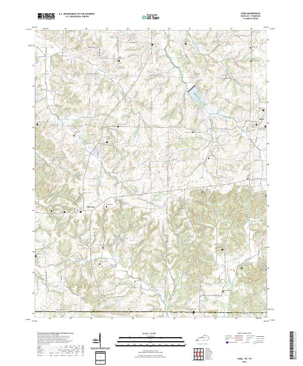 2022 Cuba2022 Print · USGSThe Kentucky and Tennessee state line runs through this rural landscape in the early 2020s, dominated by small settlements and family farms. Genealogists can locate dozens of historic burial sites such as Colley Family Cem, Pilot Oak, and Old Bethlehem Cem.
End of results
Showing maps 1-10 of 10
Top cities near Cuba
- Martin historical maps
- Mayfield historical maps
- Wingo historical maps
- Water Valley historical maps
- Cottage Grove historical maps
Frequently asked questions
- What are the different types of historical maps available for Cuba?
- What is the oldest map of Cuba?
- Where can I purchase historical maps of Cuba for my home or office?
- Where can I download high-res historical maps of Cuba?
- Are there historical topographic maps available for Cuba?
- Is there historical aerial imagery available for Cuba?
- Where are historical maps of Cuba sourced from?