Old Maps of Folsomdale, Kentucky for Hiking & Exploration
Hike through history with 12 historic maps of Folsomdale. Explore old trails, ghost towns, and forgotten backroads — perfect for outdoor adventurers and local explorers.
- Rediscover forgotten places: Map out old mining camps, roads, and footpaths that no longer exist on modern maps.
- Layer with modern tools: Combine with LiDAR or satellite views to plan hikes through historical terrain.
- Made for exploration: Popular among hikers, overlanders, and local history lovers.
Use these maps to find adventure and explore the hidden past of Folsomdale.
Folsomdale, KY maps
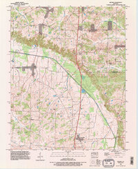
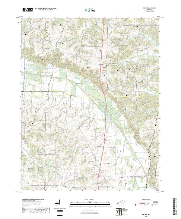
(12)- 1936 Map of Melber
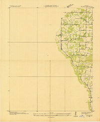 1936 Melber1936 Print · USGSWestern Kentucky in the mid-1930s was a landscape of small schools and essential drainage projects along the McCracken and Graves county line. Researchers can trace rural community hubs like Houser Grove Ch and Boaz Sch or follow the Illinois Central rail line.
 - 1951 Map of Melber, 1956 Print
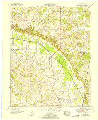 1951 Melber1956 Print · USGSThe rural borderlands of Graves and McCracken Counties come into focus in this early 1950s study of the western Kentucky landscape. Genealogists can trace family names across dozens of sites like Tittsworth Cem and Allcock Cem, or locate rural landmarks like Diggs Chapel and the Illinois Central rail line.2 unique versions available
 - 1951 Map of Hickory, 1957 Print
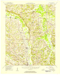 1951 Hickory1957 Print · USGSIn the early 1950s, this area of Graves and McCracken County was a patchwork of small tobacco farms and rail-stop towns. Researchers can locate hundreds of family sites, from the Clay Pits near Hickory to remote landmarks like Neece Chapel and Old Casey Bridge.
 - 1956 Map of Dyersburg, 1960 Print
 1956 Dyersburg1960 Print · USGSThe Four Rivers region comes alive in the mid-fifties, capturing the intricate borderlands of Tennessee, Kentucky, and Missouri. Genealogists and historians can trace the rail-and-river networks connecting Dyersburg, Caruthersville, and the shoreline of Reelfoot Lake.4 unique versions available
 - 1982 Map of Melber, 1983 Print
 1982 Melber1983 Print · USGSThe rural borderlands of McCracken and Graves counties are captured here in the early eighties, showcasing a landscape of family farms and creek valleys. Researchers can locate numerous family burial grounds and country churches like St Johns Cem & Ch, Diggs Chapel, and Hunt Cem.
 - 1986 Map of Murray
 1986 Murray1986 Print · USGSWestern Kentucky in the mid-1980s reveals a landscape defined by the Tennessee and Cumberland rivers. Genealogists and historians can trace rail-town development along the Illinois Central Gulf RR and find family-named locations like Dukedom and Water Valley.2 unique versions available
 - 1993 Map of Melber, 1996 Print
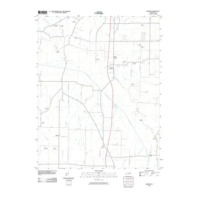
 1993 Melber1996 Print · USGSWestern Kentucky at the close of the twentieth century remains a landscape of quiet crossroads and family homesteads. Genealogists can trace local lineages at Liberty Cem and Purchase Cem or explore the rural hubs of Melber and Folsomdale.
 - 2010 Map of Melber, 2010 Print
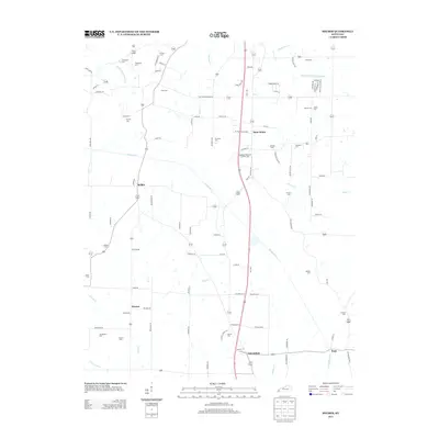
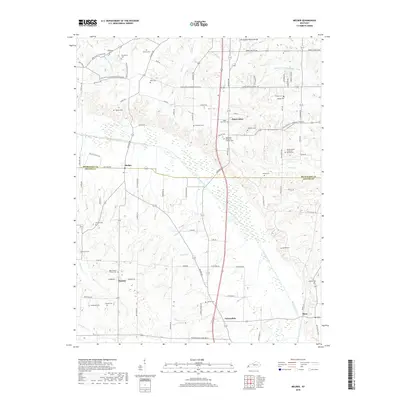
 2010 Melber2010 Print · USGSCovers Folsomdale, including Saint Johns, Kansas, and other nearby areas
 - 2013 Map of Melber, 2013 Print
 2013 Melber2013 Print · USGSCovers Folsomdale, including Saint Johns, Kansas, and other nearby areas
 - 2016 Map of Melber, 2016 Print
 2016 Melber2016 Print · USGSCovers Folsomdale, including Saint Johns, Kansas, and other nearby areas
 - 2019 Map of Melber, 2019 Print
 2019 Melber2019 Print · USGSCovers Folsomdale, including Saint Johns, Kansas, and other nearby areas
 - 2022 Map of Melber, 2022 Print
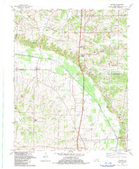
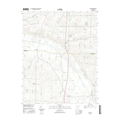
 2022 Melber2022 Print · USGSThe rural Kentucky borderlands of McCracken and Graves Counties are captured here in the early twenty-first century. Genealogists can trace family names through numerous rural burial sites like Allcock Cem, Diggs Chapel - Kansas Cem, and Thompson Cem.
End of results
Showing maps 1-12 of 12
Top cities near Folsomdale
- Paducah historical maps
- Mayfield historical maps
- Reidland historical maps
- Wingo historical maps
- Kevil historical maps
- Lone Oak historical maps
Frequently asked questions
- What are the different types of historical maps available for Folsomdale?
- What is the oldest map of Folsomdale?
- Where can I purchase historical maps of Folsomdale for my home or office?
- Where can I download high-res historical maps of Folsomdale?
- Are there historical topographic maps available for Folsomdale?
- Is there historical aerial imagery available for Folsomdale?
- Where are historical maps of Folsomdale sourced from?