Old Maps of Sedalia, Kentucky for Metal Detecting
Plan your next treasure hunt with 11 historic maps of Sedalia. Find old homesites, ghost towns, trails, and gathering spots that may be lost to time — perfect for identifying promising metal detecting locations.
- Locate forgotten sites: Uncover places like long-lost settlements, abandoned rail lines, or gathering spots.
- Plan better hunts: Use map overlays combined with LiDAR or satellite views to narrow in on historically rich areas.
- Made for detectorists: Thousands of hobbyists use these maps to discover relics, coins, and hidden history.
Use these historic maps to boost your research and find new opportunities beneath the surface of Sedalia.
Sedalia, KY maps
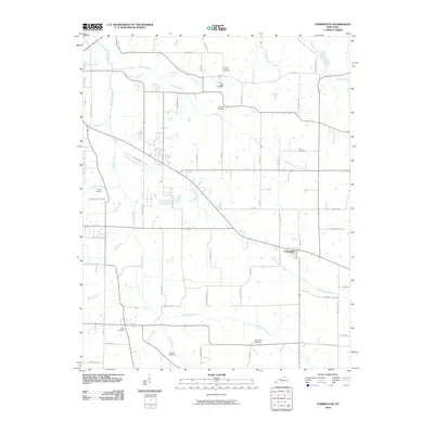
(11)- 1936 Map of Farmington
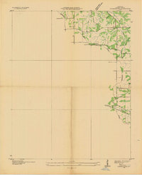 1936 Farmington1936 Print · USGSFarmington and the surrounding Graves County landscape appear here in the mid-1930s as rural electrification begins to take hold. Genealogists and local historians can trace family locations near Smyrna Ch, Cope Sch, and the settlement of Vulton Creek.
 - 1951 Map of Farmington, 1955 Print
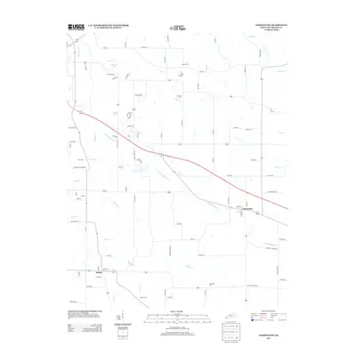
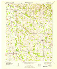 1951 Farmington1955 Print · USGSGraves County, Kentucky, is shown in detail during the early fifties, following the ridge of the Tennessee Valley Divide. Researchers can trace family roots through numerous local landmarks, including Sedalia Sch, Bethlehem Church, and Swann Cem.3 unique versions available
 - 1952 Map of Mayfield, 1957 Print
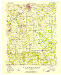 1952 Mayfield1957 Print · USGSGraves County, Kentucky, was a bustling network of rail-side towns and rural parishes at the mid-century. Researchers can trace family history through dozens of landmarks like Rozzell Cem, follow the Illinois Central Railroad, or locate the County Farm.
 - 1956 Map of Dyersburg, 1960 Print
 1956 Dyersburg1960 Print · USGSThe Four Rivers region comes alive in the mid-fifties, capturing the intricate borderlands of Tennessee, Kentucky, and Missouri. Genealogists and historians can trace the rail-and-river networks connecting Dyersburg, Caruthersville, and the shoreline of Reelfoot Lake.4 unique versions available
 - 1986 Map of Murray
 1986 Murray1986 Print · USGSWestern Kentucky in the mid-1980s reveals a landscape defined by the Tennessee and Cumberland rivers. Genealogists and historians can trace rail-town development along the Illinois Central Gulf RR and find family-named locations like Dukedom and Water Valley.2 unique versions available
 - 1993 Map of Farmington, 1996 Print
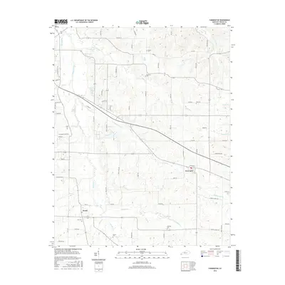
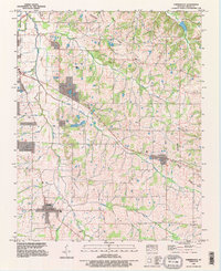 1993 Farmington1996 Print · USGSGraves County in the early nineties reflects a deep agricultural heritage centered on Farmington and Sedalia. Family researchers can trace ancestral locations through several burial sites like Smyrna Cem and landmarks such as the Woolen Mill.
 - 2010 Map of Farmington, 2010 Print
 2010 Farmington2010 Print · USGSCovers Sedalia, including Mayfield, Farmington, and other nearby areas
 - 2013 Map of Farmington, 2013 Print
 2013 Farmington2013 Print · USGSCovers Sedalia, including Mayfield, Farmington, and other nearby areas
 - 2016 Map of Farmington, 2016 Print
 2016 Farmington2016 Print · USGSCovers Sedalia, including Mayfield, Farmington, and other nearby areas
 - 2019 Map of Farmington, 2019 Print
 2019 Farmington2019 Print · USGSCovers Sedalia, including Mayfield, Farmington, and other nearby areas
 - 2022 Map of Farmington, 2022 Print
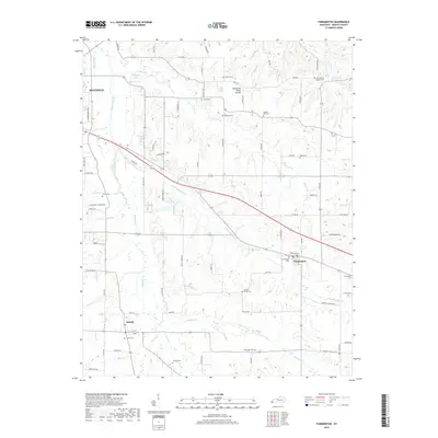
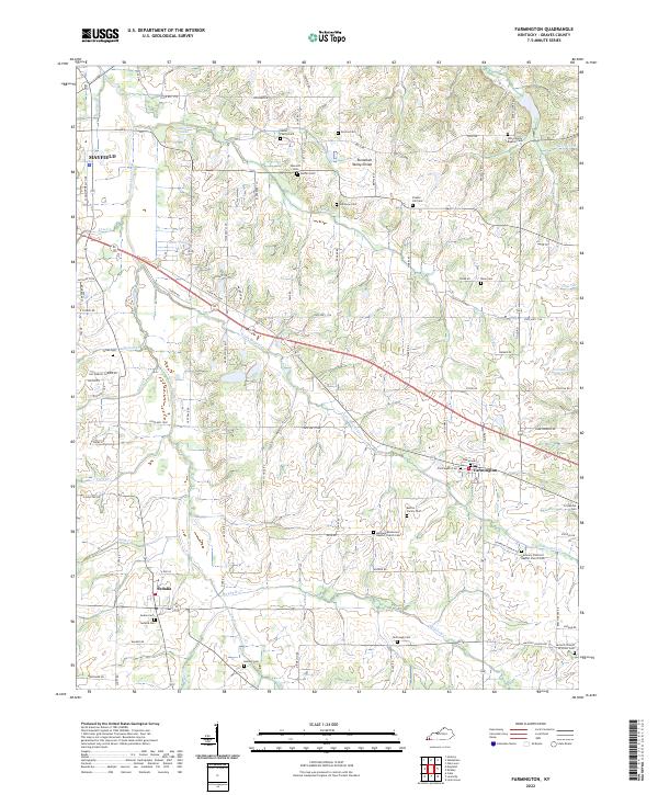 2022 Farmington2022 Print · USGSGraves County persists as a landscape of rural family heritage and small-town hubs in the early twenty-first century. Genealogists and local historians can trace legacy landholdings and community focal points through a high density of burial grounds, including the Nesler Family Cem, Farmington Cem, and Harmony Primitive Baptist Church Cem.
End of results
Showing maps 1-11 of 11
Top cities near Sedalia
Frequently asked questions
- What are the different types of historical maps available for Sedalia?
- What is the oldest map of Sedalia?
- Where can I purchase historical maps of Sedalia for my home or office?
- Where can I download high-res historical maps of Sedalia?
- Are there historical topographic maps available for Sedalia?
- Is there historical aerial imagery available for Sedalia?
- Where are historical maps of Sedalia sourced from?