
1936 Map of Farmington
USGS Topo · Published 1936About this map
Farmington anchors the southern portion of this topographic study, situated at a junction where local commerce and infrastructure began to expand in the mid-1930s. The landscape is defined by the Tennessee Basin Divide, which separates the drainage systems of the region, notably influencing the paths of waterways like Panther Creek. The map records a rural network of social and educational hubs, including Smyrna Ch, New Liberty Ch, and the Cope Sch. An early industrial footprint is visible through the KY TENN LT & PWR CO Trans Line, marking the arrival of modern utilities to this part of Graves County. This survey, conducted by the Tennessee Valley Authority and the USGS, captures the transition of the Kentucky countryside as it integrated into the broader regional power and transportation grids.
Find a feature on this map
13 named features on this map. Tap any name to fly to it.
Don’t see what you’re looking for? This feature index may not catch every label — zoom into the map to look around manually.
Map Details
Editions of this 1936 Farmington Map
This is the sole edition of this map. No revisions or reprints were ever made.
Other maps of this area

1936 · Oak Level
USGS Topo · 1:24,000

1936 · Lynn Grove
USGS Topo · 1:24,000

1936 · Benton
USGS Topo · 1:48,000

1936 · Westplains
USGS Topo · 1:24,000

1936 · Kirksey
USGS Topo · 1:24,000

1951 · Kirksey
USGS Topo · 1:24,000

1951 · Farmington
USGS Topo · 1:24,000
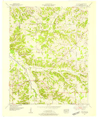
1951 · Oak Level
USGS Topo · 1:24,000

1951 · Hickory
USGS Topo · 1:24,000
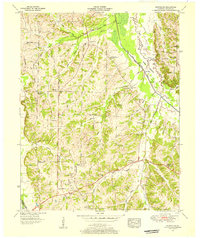
1951 · Westplains
USGS Topo · 1:24,000