
1936 Map of Oak Level
USGS Topo · Published 1936About this map
Oak Level and the surrounding rural communities of western Kentucky are documented here just before the mid-century, a landscape defined by small-scale agriculture and a dense network of country institutions. The map reveals an era when local life was centered around the numerous neighborhood schools and churches that punctuated the countryside, such as New Constitution Sch and Pleasant Grove Ch. The drainage patterns of the Middle Fork Clarks River and the West Fork Clarks River dictated the placement of early farmsteads and road crossings, with State Highway No 58 providing the primary transit corridor through the region.
Find a feature on this map
52 named features on this map. Tap any name to fly to it.
Don’t see what you’re looking for? This feature index may not catch every label — zoom into the map to look around manually.
Map Details
Editions of this 1936 Oak Level Map
This is the sole edition of this map. No revisions or reprints were ever made.
Other maps of this area

1936 · Farmington
USGS Topo · 1:24,000

1936 · Elva
USGS Topo · 1:24,000

1936 · Hardin
USGS Topo · 1:24,000

1936 · Symsonia
USGS Topo · 1:24,000

1936 · Benton
USGS Topo · 1:48,000

1936 · Westplains
USGS Topo · 1:24,000

1936 · Dexter
USGS Topo · 1:24,000

1936 · Kirksey
USGS Topo · 1:24,000
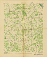
1936 · Briensburg
USGS Topo · 1:24,000
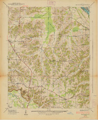
1938 · Briensburg
USGS Topo · 1:24,000