
1936 Map of Kirksey
USGS Topo · Published 1936About this map
West Fork Clarks River meanders through this portion of Calloway and Graves Counties, anchoring a rural landscape defined by small agrarian communities during the mid-1930s. The map reveals a high density of local institutions that once served as the social backbone for these dispersed farmsteads, including Smith Sch, Landon Sch, and Thompson Sch. Prominent religious landmarks such as Mt Olive Ch, Locust Grove Ch, and Bazzell Chapel are interspersed among small crossroads settlements like Backusburg and Kirksey.
Find a feature on this map
42 named features on this map. Tap any name to fly to it.
Don’t see what you’re looking for? This feature index may not catch every label — zoom into the map to look around manually.
Map Details
Editions of this 1936 Kirksey Map
This is the sole edition of this map. No revisions or reprints were ever made.
Other maps of this area

1936 · Farmington
USGS Topo · 1:24,000

1936 · Hazel
USGS Topo · 1:24,000

1936 · Oak Level
USGS Topo · 1:24,000

1936 · Lynn Grove
USGS Topo · 1:24,000

1936 · Hardin
USGS Topo · 1:24,000

1936 · Benton
USGS Topo · 1:48,000

1936 · Westplains
USGS Topo · 1:24,000

1936 · Dexter
USGS Topo · 1:24,000
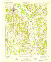
1951 · Hardin
USGS Topo · 1:24,000
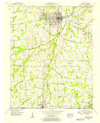
1951 · Hazel
USGS Topo · 1:24,000