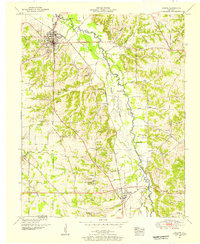
1951 Map of Hardin
USGS Topo · Published 1955About this map
The East Fork Clarks River meanders northward through this western Kentucky landscape, defining the topography of the Tennessee River valley before the era of major interstate expansion. The county seat of Benton serves as the primary hub, where the Nashville Chattanooga and St Louis railway intersects the Jefferson Davis Highway. This 1951 field examination captures a deeply rural settlement pattern, characterized by family-named cemeteries such as Starks Cem and Hurt Cem, and several river crossings including Washburn Ford and Gardner Ford.
Find a feature on this map
91 named features on this map. Tap any name to fly to it.
Don’t see what you’re looking for? This feature index may not catch every label — zoom into the map to look around manually.
Map Details
Editions of this 1951 Hardin Map
2 editions found
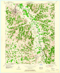
Other maps of this area

1936 · Oak Level
USGS Topo · 1:24,000

1936 · Elva
USGS Topo · 1:24,000

1936 · Hardin
USGS Topo · 1:24,000

1936 · Hiatt
USGS Topo · 1:24,000

1936 · Benton
USGS Topo · 1:48,000

1936 · Birmingham
USGS Topo · 1:24,000

1936 · Golden Pond
USGS Topo · 1:48,000

1936 · Dexter
USGS Topo · 1:24,000

1936 · Hico
USGS Topo · 1:24,000

1936 · Kirksey
USGS Topo · 1:24,000