Loading...
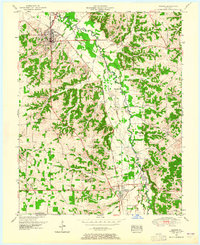
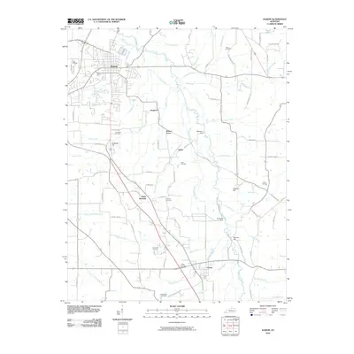
Loading map...1951 Map of Hardin
USGS Topo · Published 1965About this map
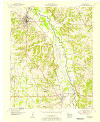
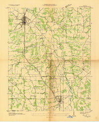
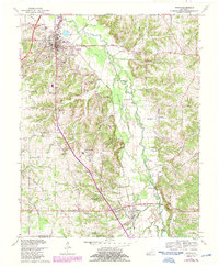
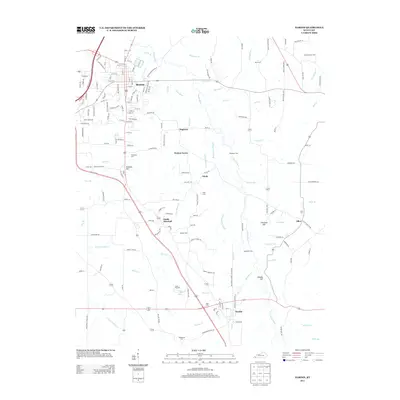
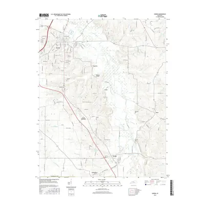
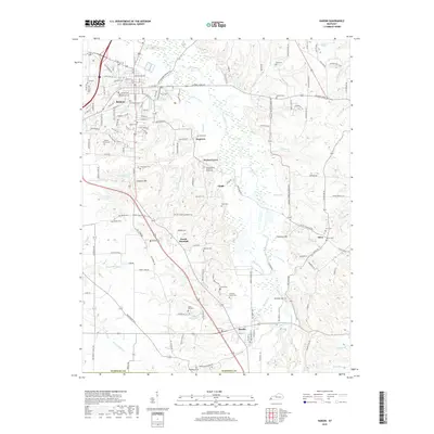
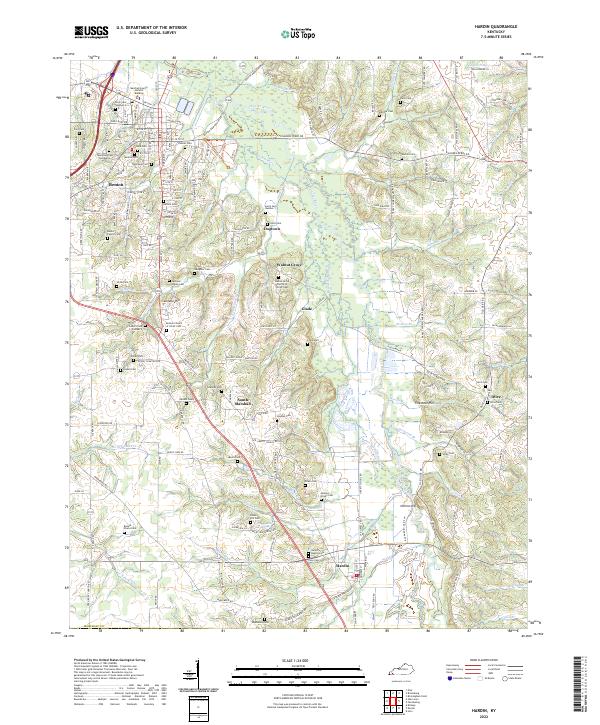
Benton serves as the focal point of this mid-century Western Kentucky landscape, situated along the Nashville Chattanooga and St Louis railroad line. The corridor is defined by the winding course of the Clarks River and its East Fork, where several traditional river crossings like Washburn Ford and Gardner Ford remain documented. The map reveals a dense network of rural community centers, from the settlement of Hardin in the south to smaller locales like Burnham, Elizabeth, and Dogtown.
Find a feature on this map
64 named features on this map. Tap any name to fly to it.
Don’t see what you’re looking for? This feature index may not catch every label — zoom into the map to look around manually.
Map Details
Date Portrayed1951
Date Published1965
PublisherU.S. Geological Survey
Map TypeTopographic
Scale1:24,000
Physical Dimensions22.5 x 27.6 inches
Editions of this 1951 Hardin Map
2 editions found
Historical Maps of Benton Through Time
8 maps found
Featured Locations
Source Details
SourceU.S. Geological Survey
CopyrightPublic Domain