
1951 Map of Kirksey
USGS Topo · Published 1955About this map
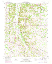
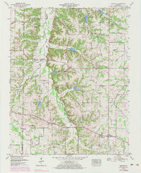
Clarks River and its western fork dominate this Calloway County landscape, creating a broad drainage basin defined by numerous small branches and creeks. At the start of the 1950s, the area maintained a traditional rural structure centered on small crossroads settlements like Backusburg, Kirksey, and Coldwater. The map reveals a dense network of family-named landmarks and spiritual centers, such as Mt Carmel Church and Mt Olive Church, alongside numerous small burial grounds like Collie Cem and Edwards Cem.
Find a feature on this map
65 named features on this map. Tap any name to fly to it.
Don’t see what you’re looking for? This feature index may not catch every label — zoom into the map to look around manually.
Map Details
Editions of this 1951 Kirksey Map
3 editions found
Other maps of this area

1936 · Farmington
USGS Topo · 1:24,000

1936 · Hazel
USGS Topo · 1:24,000

1936 · Oak Level
USGS Topo · 1:24,000

1936 · Lynn Grove
USGS Topo · 1:24,000

1936 · Hardin
USGS Topo · 1:24,000

1936 · Benton
USGS Topo · 1:48,000

1936 · Westplains
USGS Topo · 1:24,000

1936 · Dexter
USGS Topo · 1:24,000

1936 · Kirksey
USGS Topo · 1:24,000
1951 · Hardin
USGS Topo · 1:24,000