2020s Maps of Greensburg, Kentucky
Explore 4 historic maps of Greensburg from the 2020s. These maps offer a rare glimpse into what life looked like during the 2020s — showing old roads, neighborhoods, homes, and landmarks that have changed or disappeared over time.
Whether you're researching your family's past, planning a metal detecting trip, or studying how Greensburg's landscape evolved across the 2020s, these high-resolution maps are a powerful tool for exploring the history of this region.
- Focus on a specific era: All maps on this page are from the 2020s, giving you a focused view of this time period.
- See what’s changed: Compare century-old streets, trails, and buildings to today's modern landscape using overlays and satellite layers.
- Research with precision: Use these maps for genealogy, historical research, land use analysis, or educational projects.
- View, download, or print: Maps are fully viewable online in high resolution, and can be downloaded or printed for your own records.
Start exploring Greensburg's history through authentic maps from the 2020s. This is your window into the past.
Greensburg, KY maps
(4)- 2022 Map of Greensburg, 2022 Print
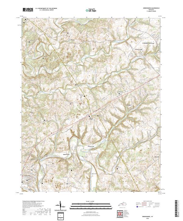 2022 Greensburg2022 Print · USGSGreen County in the modern era maintains its rural character along the winding Green River and Big Pitman Creek. Genealogists can trace deep local roots at the Colby Cowherd Slave Cem, Larimore Family Cem, and the interestingly named Black Gnat.
 - 2022 Map of Summersville, 2022 Print
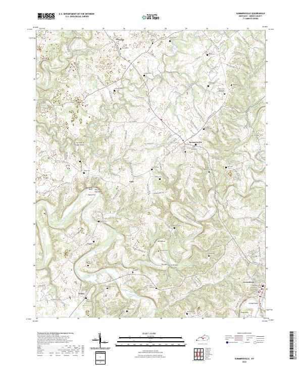 2022 Summersville2022 Print · USGSGreen County's river-cut landscape is documented in this recent survey, showcasing the area's deep family roots and rural crossroads. Genealogists can trace family burial sites and landmarks like the Summersville Mennonite Church, The Narrows of Pitman, and Larimore Cem.
 - 2022 Map of Gresham, 2022 Print
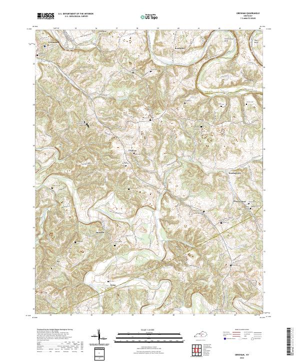 2022 Gresham2022 Print · USGSGreen and Adair counties come to life in this recent survey of the Kentucky uplands, where the Green River carves through the landscape. Genealogists can trace family heritage through dozens of small burial sites, including the Poor House Cem, Denton Family Cem, and Liberty Cem.
 - 2022 Map of Exie, 2022 Print
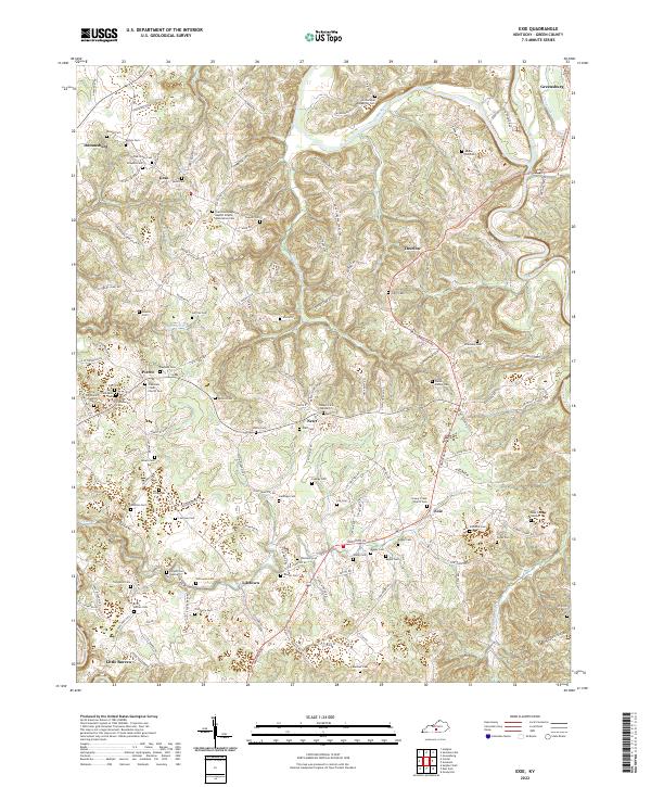 2022 Exie2022 Print · USGSGreen County, Kentucky, is documented here in the early 2020s, showing a rural landscape where life follows the ridges and creek beds. Local historians can trace family ties at the Archie Akin Blakeman Cem or locate the community hubs of Liletown, Pierce, and Exie.
End of results
Showing maps 1-4 of 4
Top cities near Greensburg
Frequently asked questions
- What are the different types of historical maps available for Greensburg?
- What is the oldest map of Greensburg?
- Where can I purchase historical maps of Greensburg for my home or office?
- Where can I download high-res historical maps of Greensburg?
- Are there historical topographic maps available for Greensburg?
- Is there historical aerial imagery available for Greensburg?
- Where are historical maps of Greensburg sourced from?