Old Maps of Mell, Kentucky for Hiking & Exploration
Hike through history with 10 historic maps of Mell. Explore old trails, ghost towns, and forgotten backroads — perfect for outdoor adventurers and local explorers.
- Rediscover forgotten places: Map out old mining camps, roads, and footpaths that no longer exist on modern maps.
- Layer with modern tools: Combine with LiDAR or satellite views to plan hikes through historical terrain.
- Made for exploration: Popular among hikers, overlanders, and local history lovers.
Use these maps to find adventure and explore the hidden past of Mell.
Mell, KY maps
(10)- 1953 Map of East Fork, 1955 Print
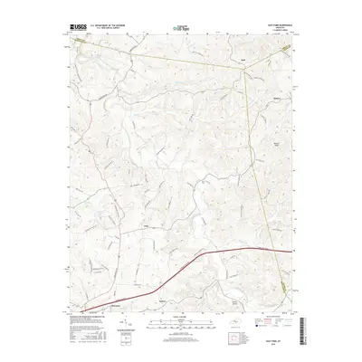
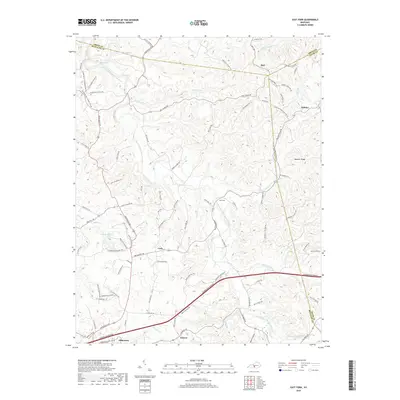
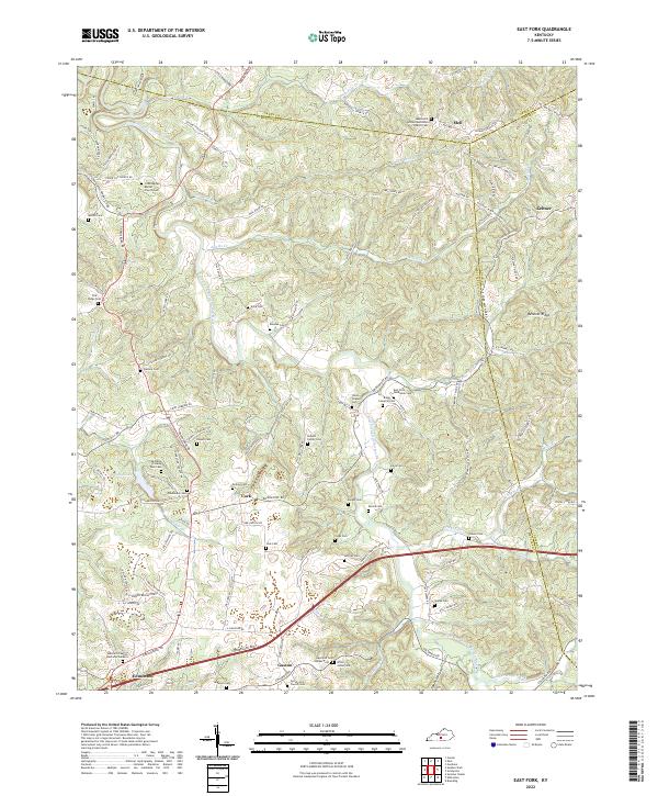
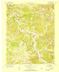 1953 East Fork1955 Print · USGSCentral Kentucky's rural landscape is captured here in the early 1950s, centered on the winding East Fork Little Barren River. Genealogists can trace family names through numerous landmarks like Ackee Cem, Mud Slash Sch, and Union Chapel.2 unique versions available
 - 1957 Map of Winchester, 1968 Print
 1957 Winchester1968 Print · USGSCentral Kentucky's landscape in the mid-twentieth century features the sprawling Fort Knox and the early parkway system. Genealogists and historians can trace rail lines like the Southern Railway and find landmarks from Bernheim Forest to Pilot Knob.3 unique versions available
 - 1960 Map of Winchester
 1960 Winchester1960 Print · USGSCentral Kentucky's diverse landscape is shown here at mid-century, from the bluegrass plains to the rugged Pottsville Escarpment. Genealogists and historians can trace the rail-and-river network connecting towns like Bardstown and Stanford alongside landmarks like Lake Cumberland.
 - 1973 Map of East Fork, 1974 Print
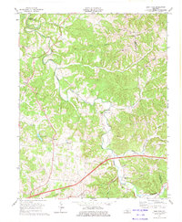 1973 East Fork1974 Print · USGSCentral Kentucky's rural landscape at the dawn of the seventies shows a mix of traditional crossroads and new infrastructure. Researchers can trace family history through sites like Union Chapel, Foundation Ch, and the many cemeteries near East Fork.
 - 1986 Map of Campbellsville
 1986 Campbellsville1986 Print · USGSCentral Kentucky in the mid-eighties was a landscape of deep river valleys and high ridges. Genealogists can trace family holdings near rural settlements like Phillipsburg or locate landmarks such as Mt Gilead Ch and the Magnolia Gas Storage Field.2 unique versions available
 - 2010 Map of East Fork, 2010 Print
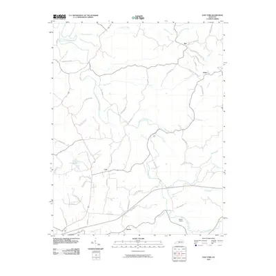 2010 East Fork2010 Print · USGSCovers Mell, including Edmonton, East Fork, and other nearby areas
 - 2013 Map of East Fork, 2013 Print
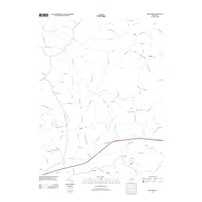 2013 East Fork2013 Print · USGSCovers Mell, including Edmonton, East Fork, and other nearby areas
 - 2016 Map of East Fork, 2016 Print
 2016 East Fork2016 Print · USGSCovers Mell, including Edmonton, East Fork, and other nearby areas
 - 2019 Map of East Fork, 2019 Print
 2019 East Fork2019 Print · USGSCovers Mell, including Edmonton, East Fork, and other nearby areas
 - 2022 Map of East Fork, 2022 Print
 2022 East Fork2022 Print · USGSMetcalfe County in the early twenty-first century remains a landscape of ridge-top settlements and winding river valleys. Researchers can trace family history through dozens of rural burial sites like Shoultz Family Cem and the Little Barren Baptist Church Cem near Cork.
End of results
Showing maps 1-10 of 10
Top cities near Mell
- Campbellsville historical maps
- Columbia historical maps
- Greensburg historical maps
- Edmonton historical maps
Frequently asked questions
- What are the different types of historical maps available for Mell?
- What is the oldest map of Mell?
- Where can I purchase historical maps of Mell for my home or office?
- Where can I download high-res historical maps of Mell?
- Are there historical topographic maps available for Mell?
- Is there historical aerial imagery available for Mell?
- Where are historical maps of Mell sourced from?