Old Maps of Nolin, Kentucky for Hiking & Exploration
Hike through history with 15 historic maps of Nolin. Explore old trails, ghost towns, and forgotten backroads — perfect for outdoor adventurers and local explorers.
- Rediscover forgotten places: Map out old mining camps, roads, and footpaths that no longer exist on modern maps.
- Layer with modern tools: Combine with LiDAR or satellite views to plan hikes through historical terrain.
- Made for exploration: Popular among hikers, overlanders, and local history lovers.
Use these maps to find adventure and explore the hidden past of Nolin.
Nolin, KY maps
(15)- 1935 Map of Elizabethtown
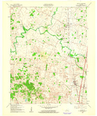
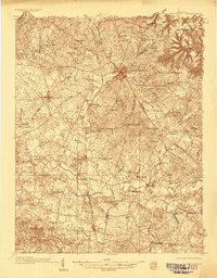 1935 Elizabethtown1935 Print · USGSElizabethtown and the surrounding Hardin County rural landscape are captured here in the mid-1930s. Researchers can trace family roots through a dense network of country schools and churches like Glendale Sch, St Ignatius Ch, and Bland Cem.
 - 1938 Map of Elizabethtown
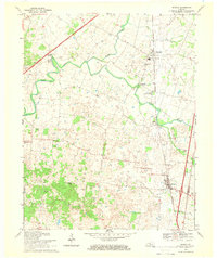
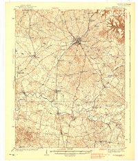 1938 Elizabethtown1938 Print · USGSHardin and Larue counties are shown here in the 1930s, captured at the height of the steam-rail era. Genealogists can trace family names through dozens of rural landmarks, from Mather Mill and Star Mills to St Ignatius Ch and the Childrens Home.3 unique versions available
 - 1949 Map of Sonora, 1952 Print
 1949 Sonora1952 Print · USGSCentral Kentucky's rural landscape comes alive in the late 1940s as the railroad connects small farm towns and mill sites. Genealogists can trace family names at St. Ignatius Ch, Little Zion Ch, or the small community at Star Mills.
 - 1949 Map of Elizabethtown, 1959 Print
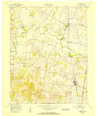
 1949 Elizabethtown1959 Print · USGSHardin and LaRue Counties are captured here in the late Forties, showing a landscape defined by the intersection of major rail lines and rural community life. Genealogists can locate numerous country schools and churches, including Bethlehem Academy, St Johns Ch, and Glendale Sch.
 - 1957 Map of Winchester, 1968 Print
 1957 Winchester1968 Print · USGSCentral Kentucky's landscape in the mid-twentieth century features the sprawling Fort Knox and the early parkway system. Genealogists and historians can trace rail lines like the Southern Railway and find landmarks from Bernheim Forest to Pilot Knob.3 unique versions available
 - 1960 Map of Winchester
 1960 Winchester1960 Print · USGSCentral Kentucky's diverse landscape is shown here at mid-century, from the bluegrass plains to the rugged Pottsville Escarpment. Genealogists and historians can trace the rail-and-river network connecting towns like Bardstown and Stanford alongside landmarks like Lake Cumberland.
 - 1961 Map of Sonora, 1962 Print
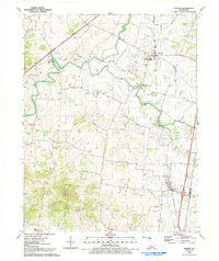
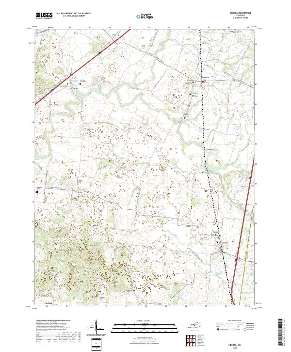
 1961 Sonora1962 Print · USGSHardin and LaRue counties appear here during the early sixties, centered on the vital transportation corridor of the Louisville and Nashville railroad. Genealogists can trace local roots through landmarks like Glen Dale Childrens Home, St Ignatius Ch, and Bland Cem.
 - 1967 Map of Sonora, 1968 Print
 1967 Sonora1968 Print · USGSCentral Kentucky's rural character meets the growing highway and rail system in the late sixties. Genealogists and historians can trace family-named sites like Stone Cem, the old grounds of Star Mills, and local centers such as St Ignatius Ch.
 - 1981 Map of Elizabethtown, 1983 Print
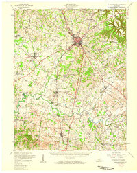
 1981 Elizabethtown1983 Print · USGSCentral Kentucky in the early eighties shows a landscape of military installations, state parks, and historic sites. Genealogists and historians can trace rail lines like the Louisville and Nashville or locate sites like Lebanon National Cemetery and the Lincoln Memorial National Historic Site.
 - 1992 Map of Sonora
 1992 Sonora1992 Print · USGSHardin County's agricultural and river landscape is captured here in the early nineties, centered on the community of Sonora. Researchers can trace family history at Old St Ignatius Cem or follow the historic rail line near Glendale and Star Mills.
 - 2010 Map of Sonora, 2010 Print
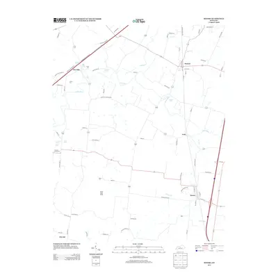
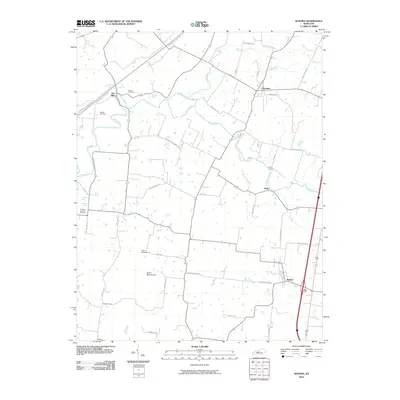 2010 Sonora2010 Print · USGSCovers Nolin, including Sonora, Star Mills, and other nearby areas
 - 2013 Map of Sonora, 2013 Print
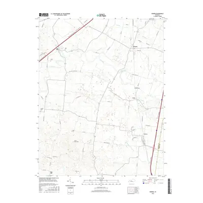
 2013 Sonora2013 Print · USGSCovers Nolin, including Sonora, Star Mills, and other nearby areas
 - 2016 Map of Sonora, 2016 Print
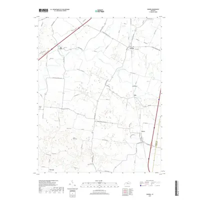
 2016 Sonora2016 Print · USGSCovers Nolin, including Sonora, Star Mills, and other nearby areas
 - 2019 Map of Sonora, 2019 Print
 2019 Sonora2019 Print · USGSCovers Nolin, including Sonora, Star Mills, and other nearby areas
 - 2022 Map of Sonora, 2022 Print
 2022 Sonora2022 Print · USGSHardin County at the modern turn of the decade reveals a landscape of enduring rural communities and historic family burial sites. Researchers can trace ancestral locations at Jeffries Family Cem, Sonora Cem, or the springs near Star Mills.
End of results
Showing maps 1-15 of 15
Top cities near Nolin
- Elizabethtown historical maps
- Radcliff historical maps
- Rineyville historical maps
- Hodgenville historical maps
- Bonnieville historical maps
- Sonora historical maps
Frequently asked questions
- What are the different types of historical maps available for Nolin?
- What is the oldest map of Nolin?
- Where can I purchase historical maps of Nolin for my home or office?
- Where can I download high-res historical maps of Nolin?
- Are there historical topographic maps available for Nolin?
- Is there historical aerial imagery available for Nolin?
- Where are historical maps of Nolin sourced from?