Old Maps of Alva, Kentucky
Explore 17 old maps of Alva, spanning from 1887 to today. These high-resolution historic maps reveal how streets, neighborhoods, landmarks, and natural features evolved over time — perfect for genealogy, metal detecting, research, and local history exploration.
What you can do with these maps:
- See how Alva changed over time: Compare historical maps to modern-day views to trace roads, homesites, rail lines & more.
- View detailed metadata: Each map includes creators, publishers, year, scale, and archive source.
- Overlay maps with satellite & LiDAR: Visualize the past alongside modern tools to explore terrain & human change.
- Trusted historical sources: Maps sourced from the USGS, Library of Congress, and other archives.
- Access maps your way: View online, download high-res files, or order prints for personal or research use.
Start exploring old maps of Alva to uncover forgotten places, hidden landmarks, and the deep history beneath your feet.
Alva, KY maps
(17)- 1887 Map of Jonesville
 1887 Jonesville1887 Print · USGSThe rugged borderlands of Virginia, Kentucky, and Tennessee are captured in the late nineteenth century during a time of isolated valley settlements. Genealogists and historians can trace family locations near Jonesville, Sneedville, and the remote Kyle's Ford along the Powell River.
 - 1891 Map of Jonesville
 1891 Jonesville1891 Print · USGSThe tri-state borderlands of Virginia, Kentucky, and Tennessee are captured here in the late nineteenth century. Researchers can trace early river crossings and mountain settlements like Poteet Ford, Shafers P.O., and Mt Pleasant.9 unique versions available
 - 1932 Map of Hagan
 1932 Hagan1932 Print · USGSThe rugged borderlands of Kentucky and Virginia come to life in this early 1930s survey of the high gaps and hollows. Researchers can locate remote mountain landmarks like Hensley Sch, Feepee Store, and the scattered cabins at Alva.3 unique versions available
 - 1935 Map of Ewing
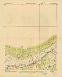 1935 Ewing1935 Print · USGSThe Virginia-Kentucky borderlands in the mid-1930s are captured here, centered on the settlement of Ewing and the passage through Poor Valley. Trace the path of the Old Wilderness Trail and locate family landmarks like Mc Lin Cem and Arthur Chapel.
 - 1946 Map of Ewing, 1962 Print
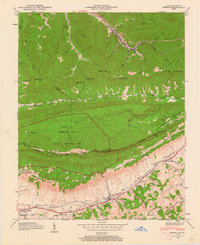 1946 Ewing1962 Print · USGSThe tri-state border country of Virginia and Kentucky comes alive here in the mid-1940s as the Cumberland Gap National Historical Park is established. Trace local family history through Ball Cem and Richmond Cem, or locate long-standing landmarks like Kesterson Mill and Chattels Station Ch.6 unique versions available
 - 1949 Map of Ewing
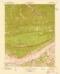 1949 Ewing1949 Print · USGSThe Kentucky and Virginia borderlands come to life in this mid-century survey of the Cumberland Gap region. Researchers can trace ancestral roots through dozens of family cemeteries like Richmond Cem or locate old industrial sites such as Cowan Mill and the County Industrial Sch.2 unique versions available
 - 1955 Map of Johnson City
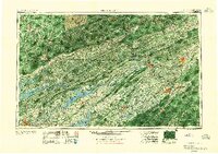 1955 Johnson City1955 Print · USGSEast Tennessee and the bordering highlands of Virginia and Kentucky appear here during the post-war industrial boom. You can trace the complex network of mountain ridges and new TVA lakes, from Johnson City to the coalfields near Middlesboro and Lynch.
 - 1957 Map of Johnson City, 1966 Print
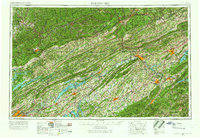 1957 Johnson City1966 Print · USGSUpper East Tennessee and Southwest Virginia are shown here during the mid-sixties transition of the Appalachians. Researchers can trace the industrial rail hubs of Kingsport, the sprawling waters of Cherokee Lake, and the historic Cumberland Gap.
 - 1960 Map of Johnson City
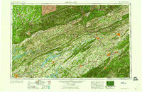 1960 Johnson City1960 Print · USGSUpper East Tennessee and the surrounding tri-state area are shown in the mid-fifties during the height of the TVA reservoir era. Trace the industrial rail lines of the Southern and Louisville and Nashville between Kingsport and Johnson City.
 - 1963 Map of Johnson City
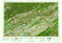 1963 Johnson City1963 Print · USGSThe Tri-Cities and the surrounding Appalachian ridges are shown in detail during the early sixties, highlighting the era's vital rail and river networks. Genealogists and historians can trace the routes of the Clinchfield RR and locate settlements from Rogersville to Elizabethton.
 - 1976 Map of Ewing, 1981 Print
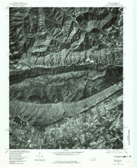 1976 Ewing1981 Print · USGSThe Virginia-Kentucky borderlands in the late seventies are revealed here through aerial imagery of the Cumberland Mountain ridge. Genealogists can trace valley homesteads near Ewing and Caylor or follow the route through Ely Gap.
 - 1977 Map of Middlesboro, 1983 Print
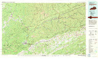 1977 Middlesboro1983 Print · USGSThe tri-state border region of Kentucky, Tennessee, and Virginia is shown here in the late seventies as the rail-and-river economy hummed through the gaps. Trace local family roots and transit routes through Middlesboro, Harlan, and Cumberland Gap National Historical Park.
 - 2010 Map of Ewing, 2010 Print
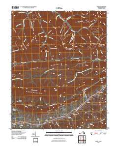 2010 Ewing2010 Print · USGSLee County, Virginia, and nearby Kentucky are shown here in the early twenty-first century as the traditional valley settlements maintain their historical footprints. Researchers can find numerous family-named sites such as Kesterson Mill, Caylor, and the Rowland Cemetery nestled between the ridges of Brush Mountain.
 - 2013 Map of Ewing, 2013 Print
 2013 Ewing2013 Print · USGSEwing and the surrounding mountain ridges are shown here in the early twenty-first century as the landscape transitioned between its coal mining past and modern rural life. Genealogists can trace family landmarks like Kesterson Mill, Black Star Coal Camp, and the high points of White Rocks.
 - 2016 Map of Ewing, 2016 Print
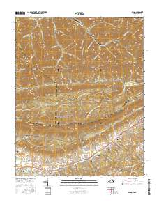 2016 Ewing2016 Print · USGSThe Virginia-Kentucky borderlands come alive in this recent survey of the ridges and valleys near the Cumberland Gap. Local historians can trace the path of the Daniel Boone Trl past historic sites like Cowan Mill and the Rowland Cem.
 - 2019 Map of Ewing, 2019 Print
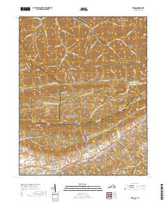 2019 Ewing2019 Print · USGSThe high ridges of the Cumberland Mountains and the historic passage through Virginia and Kentucky are captured in this detailed modern survey. Researchers can locate numerous family burial grounds like Richmond Cem and trace early industry at Kesterson Mill and Cowan Mill.
 - 2022 Map of Ewing, 2022 Print
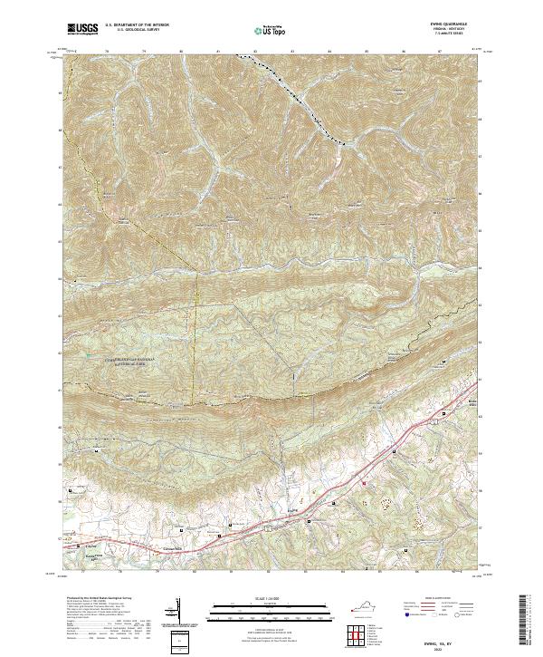 2022 Ewing2022 Print · USGSSettled along the historic Wilderness Road in southwestern Virginia, this area features the dramatic ridges of Cumberland Mountain. Genealogists can trace family landmarks like Chadwell Station Rd and sites like Kesterson Mill or Arthur Chapel Cem.
End of results
Showing maps 1-17 of 17
Top cities near Alva
- Harrogate historical maps
- Harlan historical maps
- Sneedville historical maps
- Rose Hill historical maps
- Loyall historical maps
- Ewing historical maps
See more
Frequently asked questions
- What are the different types of historical maps available for Alva?
- What is the oldest map of Alva?
- Where can I purchase historical maps of Alva for my home or office?
- Where can I download high-res historical maps of Alva?
- Are there historical topographic maps available for Alva?
- Is there historical aerial imagery available for Alva?
- Where are historical maps of Alva sourced from?