Old Maps of Fuget, Kentucky for Metal Detecting
Plan your next treasure hunt with 15 historic maps of Fuget. Find old homesites, ghost towns, trails, and gathering spots that may be lost to time — perfect for identifying promising metal detecting locations.
- Locate forgotten sites: Uncover places like long-lost settlements, abandoned rail lines, or gathering spots.
- Plan better hunts: Use map overlays combined with LiDAR or satellite views to narrow in on historically rich areas.
- Made for detectorists: Thousands of hobbyists use these maps to discover relics, coins, and hidden history.
Use these historic maps to boost your research and find new opportunities beneath the surface of Fuget.
Fuget, KY maps
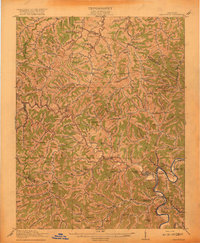
(15)- 1886 Map of Prestonsburg
 1886 Prestonsburg1886 Print · USGSEastern Kentucky's river-and-rail economy is captured here in the late nineteenth century as steam power reached deep into the mountains. Genealogists can trace family homesteads near Prestonburgh, Paintsville, and early settlements like Peach Orchard or Boon's Camp.
 - 1892 Map of Prestonsburg
 1892 Prestonsburg1892 Print · USGSEastern Kentucky is shown in the late nineteenth century as a landscape of river-centered trade and early mountain settlement. Genealogists and historians can trace family-named locations like Laynesville, Oil Spring, and the post office at Eden (Inez P.O.).4 unique versions available
 - 1915 Map of Paintsville
 1915 Paintsville1915 Print · USGSEastern Kentucky during the first World War is captured here as the river-and-rail economy takes hold. Genealogists can trace family names through dozens of rural school districts and communities like Flatgap, Van Lear, and Staffordsville.
 - 1917 Map of Paintsville
 1917 Paintsville1917 Print · USGSEastern Kentucky during the first World War is meticulously documented here, showing the densely packed hollows of Johnson County. Genealogists can trace family roots through numerous numbered schools and rural settlements like Oil Springs, Flat Gap, and Hager Hill PO Johnson Sta.3 unique versions available
 - 1954 Map of Redbush, 1955 Print
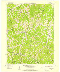 1954 Redbush1955 Print · USGSThe rural landscape of Johnson and Lawrence Counties is captured in the mid-1950s during a period of active energy production. Genealogists can trace family footprints near Old Bethel Ch, Burchett Flat, and the small community of Redbush.
 - 1957 Map of Jenkins, 1974 Print
 1957 Jenkins1974 Print · USGSThe Cumberland Plateau in the mid-twentieth century reveals a complex landscape of winding river valleys and deep-seated industry. Genealogists and historians can trace the development of Hazard, Jenkins, and Pikeville alongside extensive Numerous Oil and Gas Fields and the routes of the Chesapeake & Ohio Railway.
 - 1960 Map of Jenkins
 1960 Jenkins1960 Print · USGSEastern Kentucky and the West Virginia borderlands are captured at a mid-century peak of the coal and rail era. Trace the industrial corridors of the Chesapeake and Ohio RR through mountain hubs like Hazard and Jenkins.
 - 1962 Map of Redbush, 1964 Print
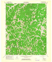 1962 Redbush1964 Print · USGSJohnson and Lawrence counties are shown during a period of active energy extraction in the early sixties. Researchers can trace rural lineages through local landmarks like Win Po, the Martha Pool gas fields, and Point Pleasant Ch.3 unique versions available
 - 1982 Map of Williamson, 1983 Print
 1982 Williamson1983 Print · USGSThe Central Appalachian coalfields of West Virginia and Kentucky come into sharp focus here during the early eighties. Genealogists and researchers can trace the valley rail networks of the Norfolk and Western RR through Matewan, Williamson, and Blackberry City.
 - 1992 Map of Redbush
 1992 Redbush1992 Print · USGSEastern Kentucky's rugged hills near the intersection of Johnson, Lawrence, and Morgan counties were defined by the energy industry and rural crossroads in the early nineties. Genealogists can trace family names through dozens of cemeteries and historic sites like Keaton Fork Ch, Flatgap, and Old Bethel Ch.
 - 2010 Map of Redbush, 2010 Print
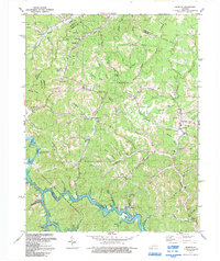
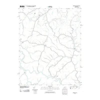 2010 Redbush2010 Print · USGSCovers Fuget, including Flatgap, Relief, and other nearby areas
 - 2014 Map of Redbush, 2014 Print
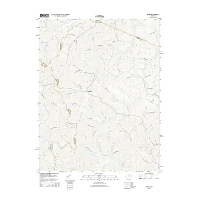 2014 Redbush2014 Print · USGSCovers Fuget, including Flatgap, Relief, and other nearby areas
 - 2016 Map of Redbush, 2016 Print
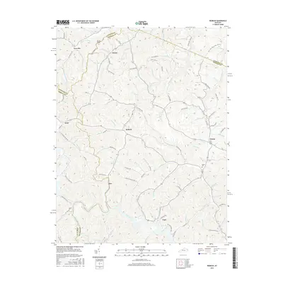 2016 Redbush2016 Print · USGSCovers Fuget, including Flatgap, Relief, and other nearby areas
 - 2019 Map of Redbush, 2019 Print
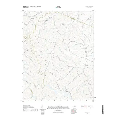 2019 Redbush2019 Print · USGSCovers Fuget, including Flatgap, Relief, and other nearby areas
 - 2022 Map of Redbush, 2022 Print
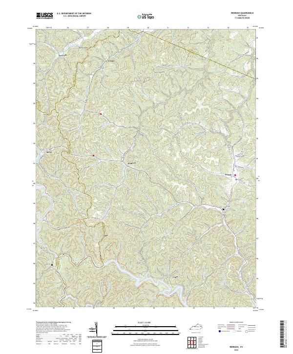 2022 Redbush2022 Print · USGSIn the early twenty-first century, these rural Kentucky highlands near the Johnson and Lawrence county line maintain their traditional ridge-and-hollow settlement patterns. Researchers can locate family landmarks such as Salyers Cem and Jenkins Cem or trace the early paths of Keaton and Flatgap.
End of results
Showing maps 1-15 of 15
Top cities near Fuget
- Paintsville historical maps
- Prestonsburg historical maps
- Salyersville historical maps
- Van Lear historical maps
- West Van Lear historical maps
- Auxier historical maps
See more
Frequently asked questions
- What are the different types of historical maps available for Fuget?
- What is the oldest map of Fuget?
- Where can I purchase historical maps of Fuget for my home or office?
- Where can I download high-res historical maps of Fuget?
- Are there historical topographic maps available for Fuget?
- Is there historical aerial imagery available for Fuget?
- Where are historical maps of Fuget sourced from?