Old Maps of Mainstrasse Village, Covington for Genealogy
Trace your family roots with 13 historic maps of Mainstrasse Village. These high-res maps reveal old neighborhoods, homesites, landmarks, and streets — helping you uncover where your ancestors lived and how the area evolved over time.
- Explore historic neighborhoods: Identify where your relatives may have lived in the 1800s or 1900s.
- Compare maps over time: Trace the changes in streets, buildings, and landmarks for multi-generational research.
- Perfect for genealogy & ancestry research: Used by family historians and researchers to map out lineage and migration.
These maps are an incredible resource for exploring your personal connection to Mainstrasse Village's past.
Mainstrasse Village, Covington maps
(13)- 1914 Map of West Cincinnati
 1914 West Cincinnati1914 Print · USGSCincinnati and the Ohio River valley appear here in a period of intense industrial growth and suburban expansion just before the First World War. Researchers can trace the dense rail networks of the Chesapeake and Ohio or locate early institutions like the Ohio Military Institute and Spring Grove Cemetery.4 unique versions available
 - 1950 Map of Covington, 1953 Print
 1950 Covington1953 Print · USGSNorthern Kentucky's riverfront and southern suburbs are captured here at the mid-century mark as neighborhoods expanded along the Dixie Highway. Genealogists and historians can trace family plots in Highland Cem or locate community landmarks like the Villa Madonna and Dixie Heights High Sch.
 - 1953 Map of Cincinnati, 1965 Print
 1953 Cincinnati1965 Print · USGSThe Ohio River valley and the industrial heartland of Indiana and Ohio are captured here during the mid-century peak of rail and river commerce. Genealogists and historians can trace connections between Cincinnati and outlying military sites like Camp Atterbury and Bakalar AFB.3 unique versions available
 - 1955 Map of Covington, 1957 Print
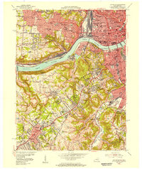 1955 Covington1957 Print · USGSGreater Cincinnati and Northern Kentucky come alive in this mid-fifties survey of the bustling riverfront and its growing suburbs. Researchers can trace historical church parishes and schools like St Marys Hosp, St Johns Cem, and Villa Madonna Academy across the river valley.
 - 1957 Map of Cincinnati
 1957 Cincinnati1957 Print · USGSThe Ohio River valley and its surrounding highlands thrived during the mid-fifties industrial peak, centered on the bustling Cincinnati and Dayton metropolitan hubs. Researchers can trace the extensive rail networks and military sites like Wright-Patterson AFB and Camp Atterbury.
 - 1961 Map of Covington, 1963 Print
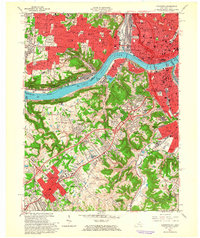 1961 Covington1963 Print · USGSThe Ohio River corridor comes alive in the early sixties as industrial centers and hillside neighborhoods bridge the state line. Genealogists and historians can trace St Josephs Cemetery, find the St Johns Orphanage, or locate the Anderson Ferry crossing.3 unique versions available
 - 1981 Map of Covington
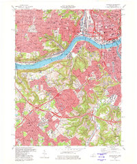 1981 Covington1981 Print · USGSNorthern Kentucky and Cincinnati meet along the river in the early eighties as suburban communities expand into the hills. Trace the development of Villa Hills and Fort Wright, or locate family sites at Highland Cemetery and Linden Grove Cem.2 unique versions available
 - 1986 Map of Cincinnati
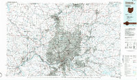 1986 Cincinnati1986 Print · USGSGreater Cincinnati and its tri-state surrounds are captured here in the mid-eighties as suburban growth reached into the neighboring hills and river valleys. Researchers can trace the development of transit hubs like Greater Cincinnati International Airport and historic sites such as Spring Grove Cemetery.3 unique versions available
 - 2010 Map of Covington, 2010 Print
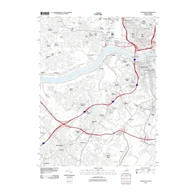 2010 Covington2010 Print · USGSThe Ohio and Licking rivers meet at the heart of this metropolitan corridor during the early twenty-first century. Researchers can trace neighborhood development from Over-The-Rhine to Lakeside Park, locating historic burial sites like Potters Field and the Highland Cemetery.
 - 2013 Map of Covington, 2013 Print
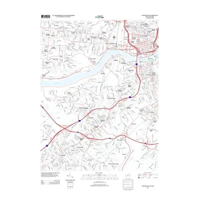 2013 Covington2013 Print · USGSThe riverfront and urban neighborhoods of the tri-state area are shown in detail during the early 2010s. Researchers can locate family sites at Saint Josephs Cem or trace crossings like the John A Roebling Bridge and the historic Anderson Ferry.
 - 2016 Map of Covington, 2016 Print
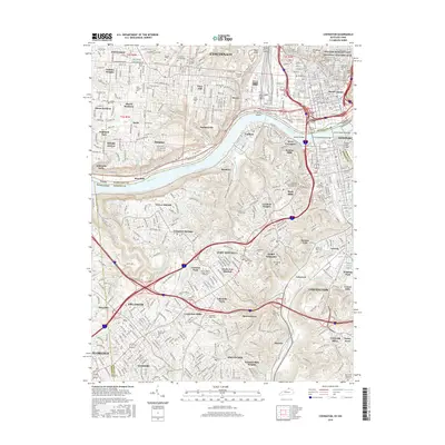 2016 Covington2016 Print · USGSThe metropolitan border of Ohio and Kentucky is captured here in the mid-2010s, showing the dense urban connectivity across the Ohio River. Genealogists and historians can trace family plots and landmarks at Linden Grove Cem, Anderson Ferry, and the William Howard Taft National Historic Site.
 - 2019 Map of Covington, 2019 Print
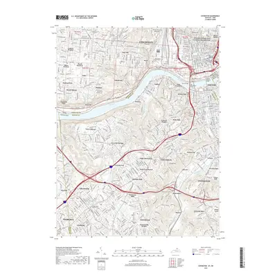 2019 Covington2019 Print · USGSGreater Cincinnati and Northern Kentucky are shown at a peak of modern development along the Ohio River in the late 2010s. Researchers can locate dozens of historic burial sites like Linden Grove Cem and the Price Hill Cemeteries, alongside the legendary John A Roebling Bridge.
 - 2022 Map of Covington, 2022 Print
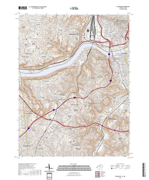 2022 Covington2022 Print · USGSNorthern Kentucky and Cincinnati meet along the Ohio River in this detailed survey of the 2020s. Trace your family roots through the Linden Grove Cem, visit the William Howard Taft National Historic Site, or locate the historic Anderson Ferry.
End of results
Showing maps 1-13 of 13
Frequently asked questions
- What are the different types of historical maps available for Mainstrasse Village?
- What is the oldest map of Mainstrasse Village?
- Where can I purchase historical maps of Mainstrasse Village for my home or office?
- Where can I download high-res historical maps of Mainstrasse Village?
- Are there historical topographic maps available for Mainstrasse Village?
- Is there historical aerial imagery available for Mainstrasse Village?
- Where are historical maps of Mainstrasse Village sourced from?