Old Maps of Mousie, Kentucky for Hiking & Exploration
Hike through history with 14 historic maps of Mousie. Explore old trails, ghost towns, and forgotten backroads — perfect for outdoor adventurers and local explorers.
- Rediscover forgotten places: Map out old mining camps, roads, and footpaths that no longer exist on modern maps.
- Layer with modern tools: Combine with LiDAR or satellite views to plan hikes through historical terrain.
- Made for exploration: Popular among hikers, overlanders, and local history lovers.
Use these maps to find adventure and explore the hidden past of Mousie.
Mousie, KY maps
(14)- 1890 Map of Whitesburg
 1890 Whitesburg1890 Print · USGSThe Cumberland Plateau in the 1880s is a world of deep hollows and isolated mountain settlements. Genealogists can trace family roots in early communities like Whitesburgh and Pikeville or locate crossings at Pound Gap and Shelby Gap.
 - 1892 Map of Whitesburg
 1892 Whitesburg1892 Print · USGSEastern Kentucky and the Virginia borderlands appear here in the late nineteenth century as a landscape of isolated mountain hollows. Genealogists and historians can trace early family settlements along Kingdom Come Creek, Beef Hide, and the strategic passage at Pound Gap.4 unique versions available
 - 1912 Map of Hindman
 1912 Hindman1912 Print · USGSThe Kentucky hills around Hindman appear in remarkable detail during the early twentieth century, showing a landscape defined by isolated hollows. Genealogists can trace early homesteads and communities like Elmrock, Kite, and Democrat, as well as numerous numbered schoolhouses along Troublesome Creek.
 - 1915 Map of Hindman
 1915 Hindman1915 Print · USGSEastern Kentucky's high ridges and deep hollows are captured here during the mid-1910s, showing a landscape defined by isolated farmsteads and rural school districts. Genealogists can trace family footprints near Hindman or locate small settlements like Handshoe, Iris, and the WC TU School.4 unique versions available
 - 1954 Map of Handshoe, 1956 Print
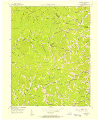 1954 Handshoe1956 Print · USGSKnott County, Kentucky, is shown in the mid-fifties as a landscape of interconnected hollows and mountain-ridge settlements. Genealogists and local historians can trace family-named sites such as Joshua Sch, Dave Conley Sch, and the remote outpost of Larksiane.3 unique versions available
 - 1957 Map of Jenkins, 1974 Print
 1957 Jenkins1974 Print · USGSThe Cumberland Plateau in the mid-twentieth century reveals a complex landscape of winding river valleys and deep-seated industry. Genealogists and historians can trace the development of Hazard, Jenkins, and Pikeville alongside extensive Numerous Oil and Gas Fields and the routes of the Chesapeake & Ohio Railway.
 - 1960 Map of Jenkins
 1960 Jenkins1960 Print · USGSEastern Kentucky and the West Virginia borderlands are captured at a mid-century peak of the coal and rail era. Trace the industrial corridors of the Chesapeake and Ohio RR through mountain hubs like Hazard and Jenkins.
 - 1977 Map of Pikeville, 1983 Print
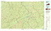 1977 Pikeville1983 Print · USGSThe Central Appalachian coalfields and the rugged borders of Kentucky and Virginia come into focus during the late seventies. Researchers can trace the rail networks of the C & O and L & N through towns like Jenkins, Whitesburg, and Pikeville.
 - 1992 Map of Handshoe
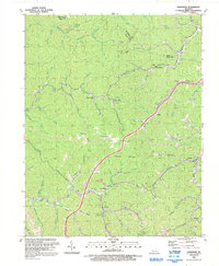 1992 Handshoe1992 Print · USGSKnott County, Kentucky, is shown in the early nineties as a landscape of deep hollows and coal-country settlements. Genealogists can trace family landmarks and burials at Click Cem or explore the mountain crossroads of Mousie and Handshoe.
 - 2010 Map of Handshoe, 2010 Print
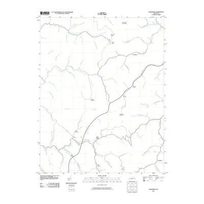 2010 Handshoe2010 Print · USGSKnott County, Kentucky, is shown here in the early twenty-first century, featuring a landscape of steep ridges and creek-bottom communities. Researchers can trace family roots at the Bolen Cemetery or locate landmarks like the Signal Knob Lookout Tower and Soft Shell.
 - 2013 Map of Handshoe, 2013 Print
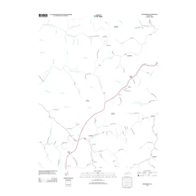 2013 Handshoe2013 Print · USGSKnott County, Kentucky, is shown here in the early twenty-first century, revealing a landscape of high ridges and deeply etched hollows. Genealogists and local historians can trace family locations near Bolen Cem, the Signal Knob Lookout Tower, and the settlement of Soft Shell.
 - 2016 Map of Handshoe, 2016 Print
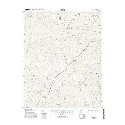 2016 Handshoe2016 Print · USGSKnott County's narrow hollows and steep ridges are documented here during a period of modern mapping and enduring local settlement. Genealogists and historians can trace family locations near Handshoe, Shanty Hollow, and the Estill Smith Cem tucked along the creek branches.
 - 2019 Map of Handshoe, 2019 Print
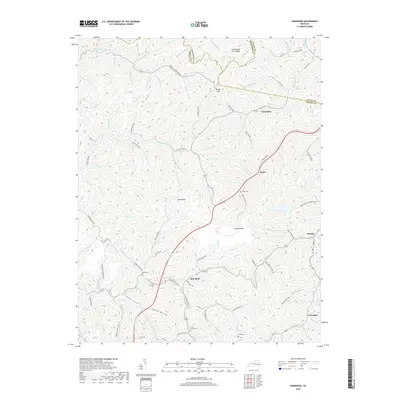 2019 Handshoe2019 Print · USGSKnott County's coal country comes into focus in this recent survey, showcasing the tight hollows and ridgeline settlements of eastern Kentucky. Genealogists can locate family landmarks like Estill Smith Cemetery and settlements from Soft Shell to Larkslane.
 - 2022 Map of Handshoe, 2022 Print
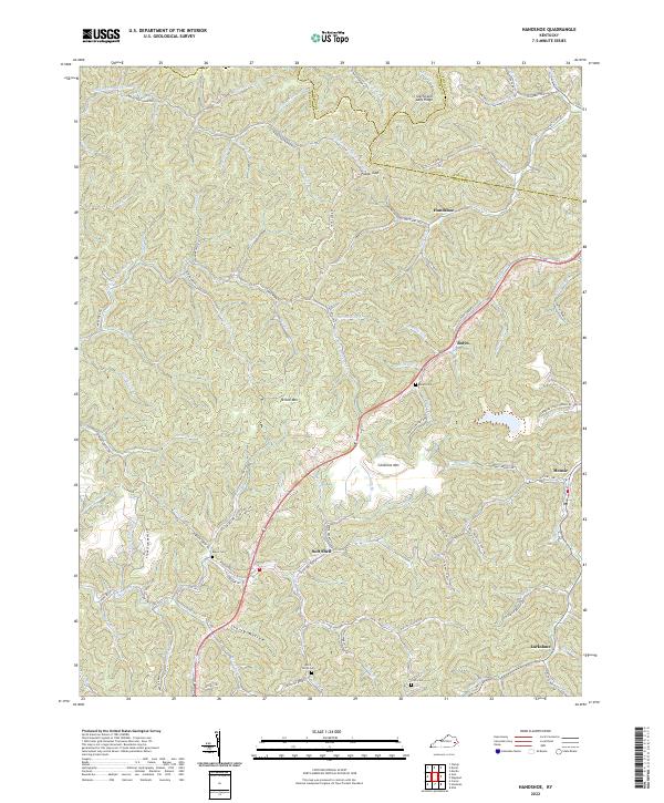 2022 Handshoe2022 Print · USGSKnott County's narrow hollows and high ridges are shown in detail as they appeared in 2022. Researchers can trace family history through locations like Soft Shell, Handshoe, and several small mountain burial sites such as Bolen Cem and Click Cem.
End of results
Showing maps 1-14 of 14
Top cities near Mousie
- Prestonsburg historical maps
- Jenkins historical maps
- Wheelwright historical maps
- Fleming-Neon historical maps
- Hindman historical maps
- Martin historical maps
See more
Frequently asked questions
- What are the different types of historical maps available for Mousie?
- What is the oldest map of Mousie?
- Where can I purchase historical maps of Mousie for my home or office?
- Where can I download high-res historical maps of Mousie?
- Are there historical topographic maps available for Mousie?
- Is there historical aerial imagery available for Mousie?
- Where are historical maps of Mousie sourced from?