Old Maps of Maloney, Kentucky
Explore 11 old maps of Maloney, spanning from 1892 to today. These high-resolution historic maps reveal how streets, neighborhoods, landmarks, and natural features evolved over time — perfect for genealogy, metal detecting, research, and local history exploration.
What you can do with these maps:
- See how Maloney changed over time: Compare historical maps to modern-day views to trace roads, homesites, rail lines & more.
- View detailed metadata: Each map includes creators, publishers, year, scale, and archive source.
- Overlay maps with satellite & LiDAR: Visualize the past alongside modern tools to explore terrain & human change.
- Trusted historical sources: Maps sourced from the USGS, Library of Congress, and other archives.
- Access maps your way: View online, download high-res files, or order prints for personal or research use.
Start exploring old maps of Maloney to uncover forgotten places, hidden landmarks, and the deep history beneath your feet.
Maloney, KY maps
(11)- 1892 Map of Beattyville
 1892 Beattyville1892 Print · USGSThe Kentucky River and its headwaters define this late nineteenth-century survey of the rugged Cumberland Plateau. Researchers can trace the early industrial sites of Estill Furnace and Fitchburg Furnace alongside the path of the Kentucky Union Railroad.6 unique versions available
 - 1952 Map of Beattyville, 1954 Print
 1952 Beattyville1954 Print · USGSThe Kentucky River's headwaters in the early 1950s reveal a landscape of deep-set hollows and river-bend communities. Genealogists can trace family names and local landmarks like Proctor, St Helens, and schools such as Pleasant Flat Sch or Pine Grove Sch.
 - 1957 Map of Jenkins, 1974 Print
 1957 Jenkins1974 Print · USGSThe Cumberland Plateau in the mid-twentieth century reveals a complex landscape of winding river valleys and deep-seated industry. Genealogists and historians can trace the development of Hazard, Jenkins, and Pikeville alongside extensive Numerous Oil and Gas Fields and the routes of the Chesapeake & Ohio Railway.
 - 1960 Map of Jenkins
 1960 Jenkins1960 Print · USGSEastern Kentucky and the West Virginia borderlands are captured at a mid-century peak of the coal and rail era. Trace the industrial corridors of the Chesapeake and Ohio RR through mountain hubs like Hazard and Jenkins.
 - 1961 Map of Beattyville, 1963 Print
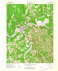 1961 Beattyville1963 Print · USGSBeattyville sits at the historic meeting of the Kentucky River forks in the early sixties, a landscape defined by deep valleys and timbered ridges. Researchers can trace family roots through riverside settlements like Proctor and St Helens or locate rural landmarks like South Side Sch.3 unique versions available
 - 1982 Map of Irvine, 1983 Print
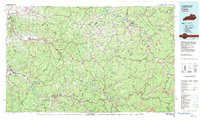 1982 Irvine1983 Print · USGSEastern Kentucky's hill country is mapped here in the early eighties, showcasing the complex river valleys and ridge-top settlements of the Cumberland Plateau. Researchers can trace historic rail lines like the Louisville & Nashville RR or locate rural communities such as Beattyville and Slade.
 - 2011 Map of Beattyville, 2011 Print
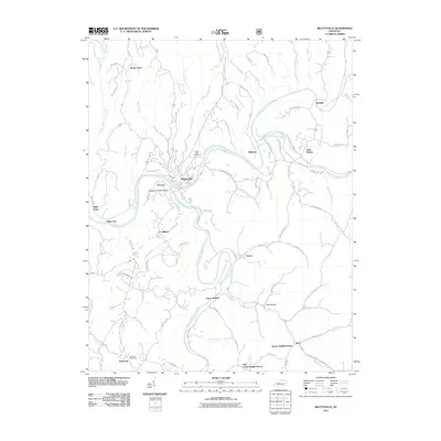 2011 Beattyville2011 Print · USGSThe forks of the Kentucky River meet at Beattyville in this early twenty-first-century survey of Lee County. Genealogists and historians can trace riverside settlements like Proctor and Saint Helens or locate the Pebworth Post Office.
 - 2013 Map of Beattyville, 2013 Print
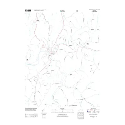 2013 Beattyville2013 Print · USGSBeattyville and the surrounding river forks are captured here in the early twenty-first century, showing the area's deep-rooted river and mountain geography. Researchers can trace family sites in Stacey Neighborhood, locate the River View Cem, or explore the rail history along Old Railroad Grade Rd.
 - 2016 Map of Beattyville, 2016 Print
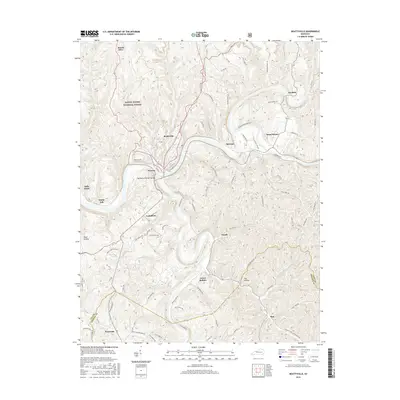 2016 Beattyville2016 Print · USGSBeattyville and its neighboring river settlements are captured here in the mid-2010s at the historic forks of the Kentucky River. Genealogists can trace family footprints in Proctor, Saint Helens, and Lower Buffalo, or follow the Old Railroad Grade Rd through the forest.
 - 2019 Map of Beattyville, 2019 Print
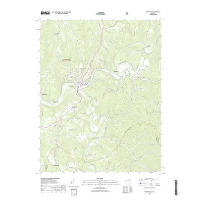 2019 Beattyville2019 Print · USGSThe confluence of the Kentucky River forks dominates this Lee County landscape in the early twenty-first century. Researchers can trace historic settlements like Proctor and Saint Helens, or locate family sites near Riverview Cem and Lower Buffalo.
 - 2022 Map of Beattyville, 2022 Print
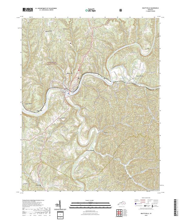 2022 Beattyville2022 Print · USGSThe confluence of the Kentucky River forks at the dawn of the 2020s shows a landscape deeply defined by its waterways. Genealogists can locate family landmarks like Riverview Cem and the Lee County Courthouse alongside settlements such as Maloney and Saint Helens.
End of results
Showing maps 1-11 of 11
Top cities near Maloney
- Beattyville historical maps
- Island City historical maps
- Campton historical maps
- Booneville historical maps
- Willow Shoals historical maps
Frequently asked questions
- What are the different types of historical maps available for Maloney?
- What is the oldest map of Maloney?
- Where can I purchase historical maps of Maloney for my home or office?
- Where can I download high-res historical maps of Maloney?
- Are there historical topographic maps available for Maloney?
- Is there historical aerial imagery available for Maloney?
- Where are historical maps of Maloney sourced from?