
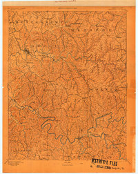
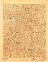
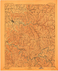
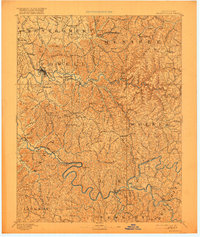
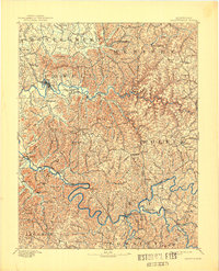
1892 Map of Beattyville
USGS Topo · Published 1892About this map
Beattyville sits at the confluence of several forks of the Kentucky River, serving as a central hub in a landscape defined by deep ridges and narrow creek valleys. Surveyed in 1890, this map reveals the industrial footprint of the era, most notably through the Estill Furnace and Fitchburg Furnace locations, which point to the region's iron-working heritage. The Kentucky Union Railroad cuts through the northern half of the territory, providing a vital link for timber and mineral transport through Stanton and toward Clay. Smaller community centers like Vaughn Mill, Halls Store, and Campton are connected by a network of winding paths that follow the contours of the drainage systems, including the Red River and Swift Camp Creek. High points like Morris Mtn and High Rock overlook a territory transitioning from an extractive economy to more established settlements such as Proctor and America.
Find a feature on this map
115 named features on this map. Tap any name to fly to it.
Don’t see what you’re looking for? This feature index may not catch every label — zoom into the map to look around manually.
Map Details
Editions of this 1892 Beattyville Map
6 editions found
Other maps of this area

1889 · Salyersville
USGS Topo · 1:125,000

1891 · Manchester
USGS Topo · 1:125,000

1891 · Hazard
USGS Topo · 1:125,000

1891 · Salyersville
USGS Topo · 1:125,000

1892 · Richmond
USGS Topo · 1:125,000

1893 · London
USGS Topo · 1:125,000

1897 · Richmond
USGS Topo · 1:125,000

1897 · London
USGS Topo · 1:125,000

1899 · Salyersville
USGS Topo · 1:125,000

1913 · Buckhorn
USGS Topo · 1:62,500