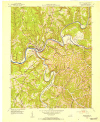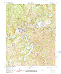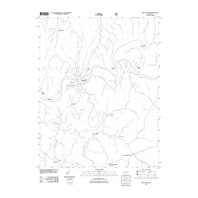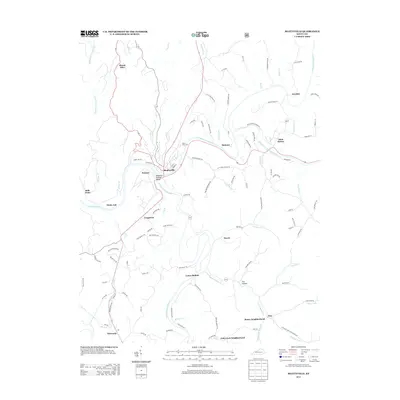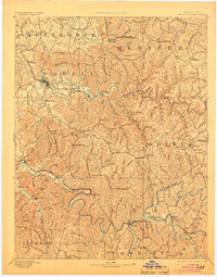
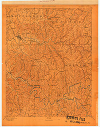
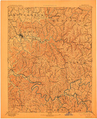
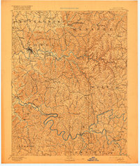
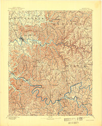
1892 Map of Beattyville
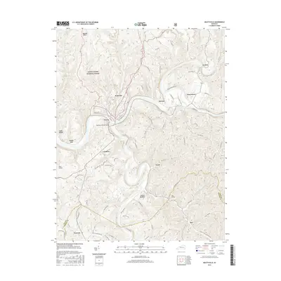
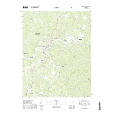
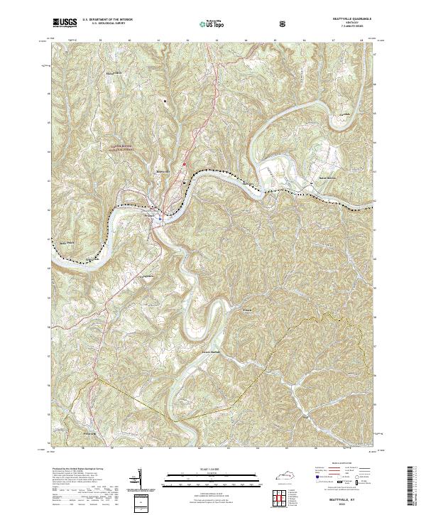
USGS Topo · Published 1905About this map
The Kentucky River and its major northern tributary, the Red River, dictate the rugged settlement patterns of this 1890 survey. The landscape is defined by the industrial heritage of the Red River iron district, evidenced by the presence of the Fitchburg Furnace and Estill Furnace. These massive stone structures supported a mid-19th-century charcoal iron industry that relied on the dense hardwood forests of the Cumberland Plateau. While the river served as the primary transport artery for decades, the Kentucky Union Railroad marks a shift in the region's economy, cutting through Stanton and Clay to facilitate the timber and mineral trade.
Find a feature on this map
161 named features on this map. Tap any name to fly to it.
Don’t see what you’re looking for? This feature index may not catch every label — zoom into the map to look around manually.
Map Details
Editions of this 1892 Beattyville Map
6 editions found

Historical Maps of Stanton Through Time
8 maps found