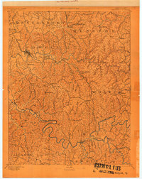
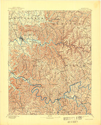
1892 Map of Beattyville
USGS Topo · Published 1901About this map
Fitchburg Furnace and Estill Furnace stand as industrial markers in this late-nineteenth-century survey of the Cumberland Plateau's western edge. The region’s economic life is defined by the winding course of the Kentucky River and the transit lines of the Kentucky Union Railroad, which connects mountain settlements like Stanton and Clay. The landscape is a dense network of creek-fed hollows, where family-named places like Vaughn Mill, Ballard, and Jeffersonville appear alongside county seats such as Frenchburg and Campton.
Find a feature on this map
188 named features on this map. Tap any name to fly to it.
Don’t see what you’re looking for? This feature index may not catch every label — zoom into the map to look around manually.
Map Details
Editions of this 1892 Beattyville Map
6 editions found
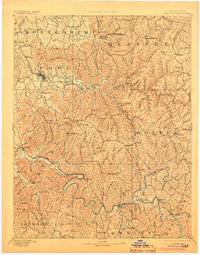
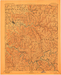
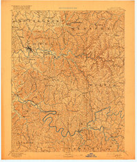
Other maps of this area

1889 · Salyersville
USGS Topo · 1:125,000

1891 · Manchester
USGS Topo · 1:125,000

1891 · Hazard
USGS Topo · 1:125,000

1891 · Salyersville
USGS Topo · 1:125,000

1892 · Richmond
USGS Topo · 1:125,000

1892 · Beattyville
USGS Topo · 1:125,000

1893 · London
USGS Topo · 1:125,000

1897 · Richmond
USGS Topo · 1:125,000

1897 · London
USGS Topo · 1:125,000

1899 · Salyersville
USGS Topo · 1:125,000