Old Maps of Oscaloosa, Kentucky for Hiking & Exploration
Hike through history with 13 historic maps of Oscaloosa. Explore old trails, ghost towns, and forgotten backroads — perfect for outdoor adventurers and local explorers.
- Rediscover forgotten places: Map out old mining camps, roads, and footpaths that no longer exist on modern maps.
- Layer with modern tools: Combine with LiDAR or satellite views to plan hikes through historical terrain.
- Made for exploration: Popular among hikers, overlanders, and local history lovers.
Use these maps to find adventure and explore the hidden past of Oscaloosa.
Oscaloosa, KY maps
(13)- 1890 Map of Whitesburg
 1890 Whitesburg1890 Print · USGSThe Cumberland Plateau in the 1880s is a world of deep hollows and isolated mountain settlements. Genealogists can trace family roots in early communities like Whitesburgh and Pikeville or locate crossings at Pound Gap and Shelby Gap.
 - 1892 Map of Whitesburg
 1892 Whitesburg1892 Print · USGSEastern Kentucky and the Virginia borderlands appear here in the late nineteenth century as a landscape of isolated mountain hollows. Genealogists and historians can trace early family settlements along Kingdom Come Creek, Beef Hide, and the strategic passage at Pound Gap.4 unique versions available
 - 1913 Map of Oven Fork
 1913 Oven Fork1913 Print · USGSLetcher County's steep ridges and narrow hollows are shown here in the early twentieth century, just as the Lexington and Eastern Ry arrived. Genealogists can trace family settlements from Whitesburg to Blackey, and locate early schools and landmarks like Campbranch Chapel or Pound Gap.
 - 1915 Map of Whitesburg
 1915 Whitesburg1915 Print · USGSLetcher County at the start of the twentieth century shows a landscape of deep hollows and growing rail towns. Genealogists can trace family roots through numerous numbered schoolhouses and settlements like Whitesburg, Blackey, and Indian Bottom.4 unique versions available
 - 1954 Map of Roxana, 1956 Print
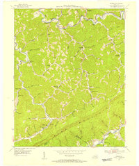 1954 Roxana1956 Print · USGSThe Kentucky mountains in the early fifties reveal a landscape of isolated hollows and ridge-line borders before modern development. Traced by the Louisville and Nashville rail, you can locate family landmarks like the Hot Spot Premium PO, Tolson Branch Ch, and numerous neighborhood schools.3 unique versions available
 - 1957 Map of Jenkins, 1974 Print
 1957 Jenkins1974 Print · USGSThe Cumberland Plateau in the mid-twentieth century reveals a complex landscape of winding river valleys and deep-seated industry. Genealogists and historians can trace the development of Hazard, Jenkins, and Pikeville alongside extensive Numerous Oil and Gas Fields and the routes of the Chesapeake & Ohio Railway.
 - 1960 Map of Jenkins
 1960 Jenkins1960 Print · USGSEastern Kentucky and the West Virginia borderlands are captured at a mid-century peak of the coal and rail era. Trace the industrial corridors of the Chesapeake and Ohio RR through mountain hubs like Hazard and Jenkins.
 - 1977 Map of Pikeville, 1983 Print
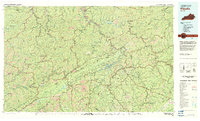 1977 Pikeville1983 Print · USGSThe Central Appalachian coalfields and the rugged borders of Kentucky and Virginia come into focus during the late seventies. Researchers can trace the rail networks of the C & O and L & N through towns like Jenkins, Whitesburg, and Pikeville.
 - 2010 Map of Roxana, 2010 Print
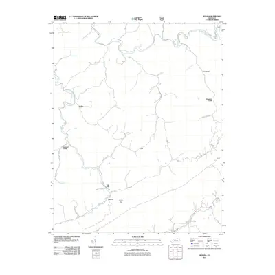 2010 Roxana2010 Print · USGSEastern Kentucky's high-country terrain is captured here in the first decade of the millennium, showing a landscape defined by deep valleys and rural outposts. Local historians can trace the paths of Line Fork and Kings Creek to locate Linefork and the storied Kingdom Come.
 - 2013 Map of Roxana, 2013 Print
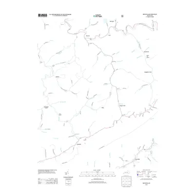 2013 Roxana2013 Print · USGSCumberland and the surrounding Kentucky coalfields appear in the early 21st century, showing a landscape shaped by narrow river valleys and deep mountain hollows. Researchers can trace family landmarks and remote settlements from Kingdom Come to Partridge, including the Morgan Cem and Isom Cem.
 - 2016 Map of Roxana, 2016 Print
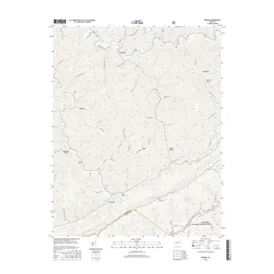 2016 Roxana2016 Print · USGSThe Cumberland Plateau in the twenty-tens reveals a landscape of deep hollows and high ridges along the Letcher Co border. Local historians can trace family-named sites like Morgan Cem, the community of Oskaloosa, and the headwaters of Kingdom Come Cr.
 - 2019 Map of Roxana, 2019 Print
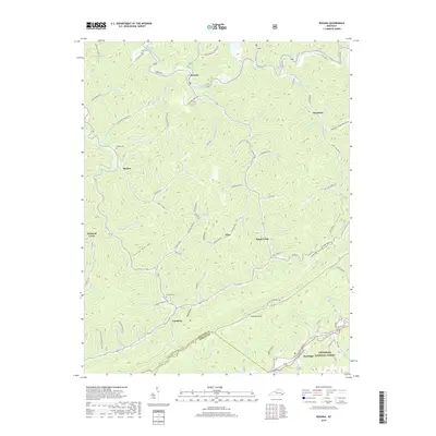 2019 Roxana2019 Print · USGSThe Cumberland Plateau of Letcher and Harlan counties is shown in detail during the late twenty-teens, centering on the high ridges of Pine Mountain. Researchers can trace old family sites and mountain settlements like Oscaloosa and Linefork, or locate burial grounds such as Morgan Cem.
 - 2022 Map of Roxana, 2022 Print
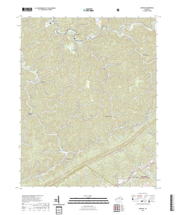 2022 Roxana2022 Print · USGSLetcher County's steep ridges and coal country are detailed here in the 2020s, showing the intersection of deep mountain hollows and local industry. Genealogists can locate several family burial grounds like the Isom Cem and Cornetts Cem near the Line Fork waters.
End of results
Showing maps 1-13 of 13
Top cities near Oscaloosa
- Big Stone Gap historical maps
- Cumberland historical maps
- Jenkins historical maps
- Whitesburg historical maps
- Appalachia historical maps
- Lynch historical maps
See more
Frequently asked questions
- What are the different types of historical maps available for Oscaloosa?
- What is the oldest map of Oscaloosa?
- Where can I purchase historical maps of Oscaloosa for my home or office?
- Where can I download high-res historical maps of Oscaloosa?
- Are there historical topographic maps available for Oscaloosa?
- Is there historical aerial imagery available for Oscaloosa?
- Where are historical maps of Oscaloosa sourced from?