Old Maps of Stricklett, Kentucky for Academic Research
Study the evolution of Stricklett with 9 high-resolution historic maps. Whether you're teaching, researching, or modeling changes in land use, these maps provide essential visual documentation of urban, environmental, and geographic change.
- Analyze long-term change: Track patterns in development, transportation, and natural features.
- Ideal for environmental or urban studies: Support academic projects with primary historical map data.
- Use in the classroom or lab: Educators and researchers rely on these maps to bring historical context to life.
These maps are a powerful tool for teaching, research, and visualizing how Stricklett has changed over the decades.
Stricklett, KY maps
(9)- 1951 Map of Stricklett, 1953 Print
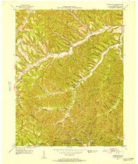 1951 Stricklett1953 Print · USGSLewis County in the early fifties is mapped here as a network of creek-side communities and upland lookouts. Researchers can find old schools and churches like Kinniconick Sch, Thackers Chapel, and Union Ch along the winding Kinniconick Creek.4 unique versions available
 - 1957 Map of Huntington, 1966 Print
 1957 Huntington1966 Print · USGSThe industrial heart of the Ohio River valley is captured here in the mid-sixties, showing the growth of Huntington and Ashland. Researchers can trace the extensive rail networks of the Chesapeake and Ohio RR and locate sites like the Chief Cornstalk Hunting Ground.3 unique versions available
 - 1960 Map of Huntington
 1960 Huntington1960 Print · USGSThe tri-state river valley thrived in the late fifties as a hub of heavy industry and Appalachian rail transit. Genealogists and historians can trace the connection between river towns like Ashland and Portsmouth or locate family homesteads near Coleman Ridge.
 - 1982 Map of Morehead, 1983 Print
 1982 Morehead1983 Print · USGSThe foothills of northeastern Kentucky come alive in the early eighties, showcasing a landscape defined by timber, limestone caves, and major reservoirs. Local researchers can trace the development of Morehead State University or locate old crossings at Plummers Mill and Salt Lick.
 - 2011 Map of Stricklett, 2011 Print
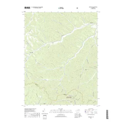
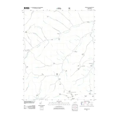 2011 Stricklett2011 Print · USGSCovers Stricklett, including Crum, Petersville, and other nearby areas
 - 2013 Map of Stricklett, 2013 Print
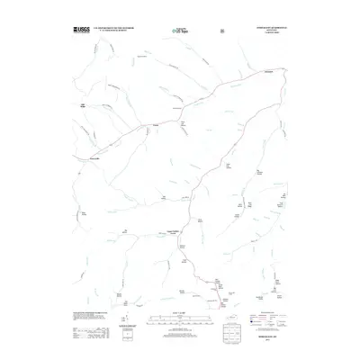 2013 Stricklett2013 Print · USGSCovers Stricklett, including Crum, Petersville, and other nearby areas
 - 2016 Map of Stricklett, 2016 Print
 2016 Stricklett2016 Print · USGSCovers Stricklett, including Crum, Petersville, and other nearby areas
 - 2019 Map of Stricklett, 2019 Print
 2019 Stricklett2019 Print · USGSCovers Stricklett, including Crum, Petersville, and other nearby areas
 - 2022 Map of Stricklett, 2022 Print
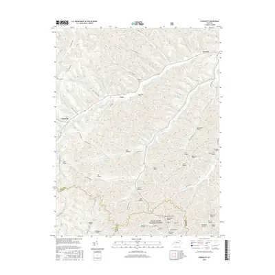
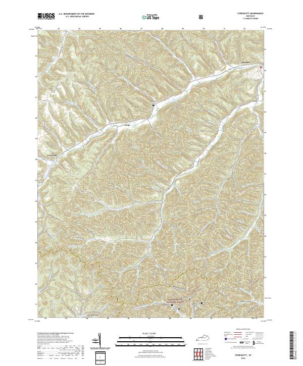 2022 Stricklett2022 Print · USGSThe hill country of northern Kentucky comes to life in this contemporary survey of the Lewis and Fleming county line. Genealogists can trace family names at McEldowney Cem and Buckner Cem, or follow the historic Sheltowee Trace Trl as it winds through the Daniel Boone National Forest.
End of results
Showing maps 1-9 of 9
Top cities near Stricklett
- Manchester historical maps
- Olive Hill historical maps
- Vanceburg historical maps
- Concord historical maps
Frequently asked questions
- What are the different types of historical maps available for Stricklett?
- What is the oldest map of Stricklett?
- Where can I purchase historical maps of Stricklett for my home or office?
- Where can I download high-res historical maps of Stricklett?
- Are there historical topographic maps available for Stricklett?
- Is there historical aerial imagery available for Stricklett?
- Where are historical maps of Stricklett sourced from?