Old Maps of Crab Orchard, Kentucky
Explore 17 old maps of Crab Orchard, spanning from 1893 to today. These high-resolution historic maps reveal how streets, neighborhoods, landmarks, and natural features evolved over time — perfect for genealogy, metal detecting, research, and local history exploration.
What you can do with these maps:
- See how Crab Orchard changed over time: Compare historical maps to modern-day views to trace roads, homesites, rail lines & more.
- View detailed metadata: Each map includes creators, publishers, year, scale, and archive source.
- Overlay maps with satellite & LiDAR: Visualize the past alongside modern tools to explore terrain & human change.
- Trusted historical sources: Maps sourced from the USGS, Library of Congress, and other archives.
- Access maps your way: View online, download high-res files, or order prints for personal or research use.
Start exploring old maps of Crab Orchard to uncover forgotten places, hidden landmarks, and the deep history beneath your feet.
Crab Orchard, KY maps
(17)- 1893 Map of London
 1893 London1893 Print · USGSSoutheast Kentucky's plateau country was undergoing a railway-driven transformation in the early 1890s. Genealogists and local historians can trace family roots through numerous small communities like Broadhead, Gum Sulphur, and Altamont along the Louisville and Nashville Railroad.
 - 1897 Map of London
 1897 London1897 Print · USGSThe Kentucky interior near the close of the nineteenth century centers on the vital Louisville and Nashville Railroad corridor. Genealogists can trace early homesteads and rail stops from Mt. Vernon to Bee Lick and Hazlepatch.5 unique versions available
 - 1952 Map of Crab Orchard, 1953 Print
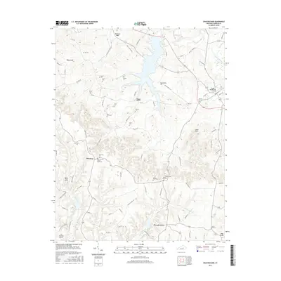
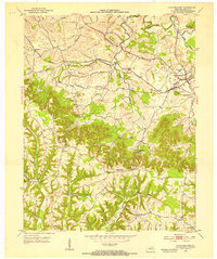 1952 Crab Orchard1953 Print · USGSLincoln County comes into focus in the early fifties, showing the historic crossing of the rail lines and old pioneer routes. Researchers can trace family roots through numerous rural landmarks like Ottenheim, the William Whitley House State Shrine, and the Boone Cem.2 unique versions available
 - 1953 Map of Brodhead, 1954 Print
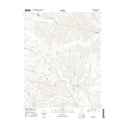
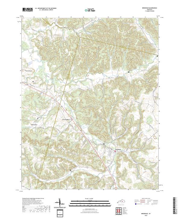
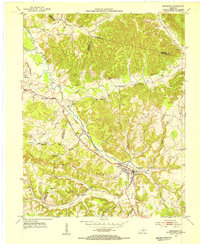 1953 Brodhead1954 Print · USGSBrodhead and the surrounding Kentucky hills are captured here in the early fifties, showing a landscape shaped by the Louisville and Nashville railroad. You can trace the historic Wilderness Road and locate family landmarks like Watts Chapel, Turkeytown, and the Gum Grove Sch.
 - 1957 Map of Winchester, 1968 Print
 1957 Winchester1968 Print · USGSCentral Kentucky's landscape in the mid-twentieth century features the sprawling Fort Knox and the early parkway system. Genealogists and historians can trace rail lines like the Southern Railway and find landmarks from Bernheim Forest to Pilot Knob.3 unique versions available
 - 1960 Map of Winchester
 1960 Winchester1960 Print · USGSCentral Kentucky's diverse landscape is shown here at mid-century, from the bluegrass plains to the rugged Pottsville Escarpment. Genealogists and historians can trace the rail-and-river network connecting towns like Bardstown and Stanford alongside landmarks like Lake Cumberland.
 - 1982 Map of Somerset, 1983 Print
 1982 Somerset1983 Print · USGSThe Lake Cumberland region and the Daniel Boone National Forest appear here in the early eighties. Researchers can trace rural lineages through Broughtontown, Science Hill, and Sinking Valley Church while exploring the rail lines of the Southern Railway.
 - 2010 Map of Brodhead, 2010 Print
 2010 Brodhead2010 Print · USGSCovers Crab Orchard, including Brodhead, Gum Sulphur, and other nearby areas
 - 2010 Map of Crab Orchard, 2010 Print
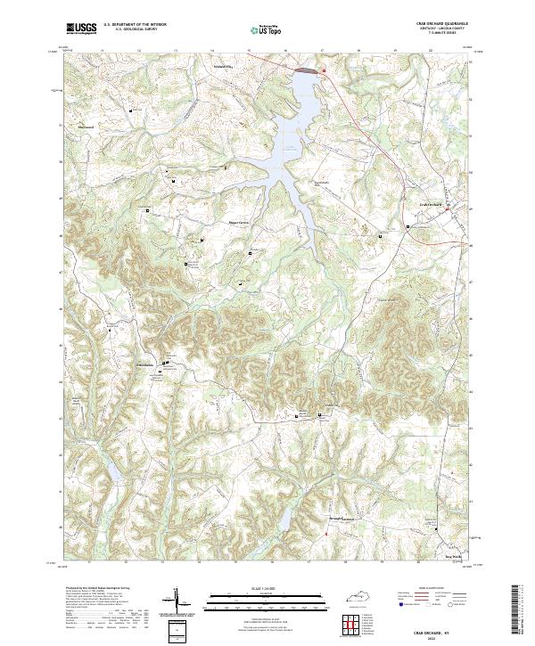
 2010 Crab Orchard2010 Print · USGSCovers Crab Orchard, including Maywood, Walnut Flat, and other nearby areas
 - 2013 Map of Crab Orchard, 2013 Print
 2013 Crab Orchard2013 Print · USGSCovers Crab Orchard, including Maywood, Walnut Flat, and other nearby areas
 - 2013 Map of Brodhead, 2013 Print
 2013 Brodhead2013 Print · USGSCovers Crab Orchard, including Brodhead, Gum Sulphur, and other nearby areas
 - 2016 Map of Crab Orchard, 2016 Print
 2016 Crab Orchard2016 Print · USGSCovers Crab Orchard, including Maywood, Walnut Flat, and other nearby areas
 - 2016 Map of Brodhead, 2016 Print
 2016 Brodhead2016 Print · USGSCovers Crab Orchard, including Brodhead, Gum Sulphur, and other nearby areas
 - 2019 Map of Crab Orchard, 2019 Print
 2019 Crab Orchard2019 Print · USGSCovers Crab Orchard, including Maywood, Walnut Flat, and other nearby areas
 - 2019 Map of Brodhead, 2019 Print
 2019 Brodhead2019 Print · USGSCovers Crab Orchard, including Brodhead, Gum Sulphur, and other nearby areas
 - 2022 Map of Crab Orchard, 2022 Print
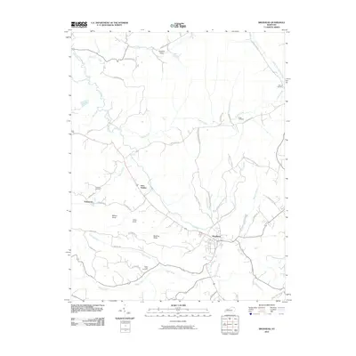
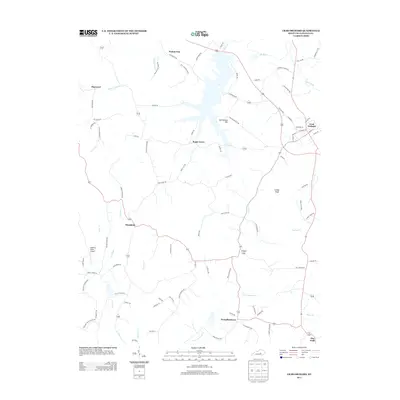
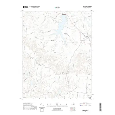
 2022 Crab Orchard2022 Print · USGSCrab Orchard and the surrounding Lincoln County hill country are shown in this recent survey during a period of modern rural stability. Genealogists can locate family-named sites such as Whitley Graveyard, Ottenheim, and Broughtentown among the winding creeks.
 - 2022 Map of Brodhead, 2022 Print
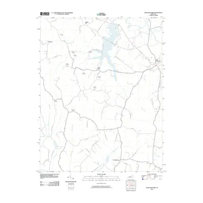
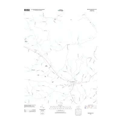
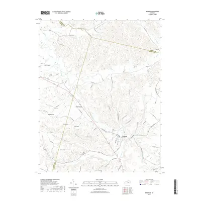
 2022 Brodhead2022 Print · USGSBrodhead and the surrounding ridges of Rockcastle and Lincoln counties are shown here as they appear in the early 2020s. Genealogists can locate several family burial grounds, including the Albright Graveyard, Old Moss Cem, and Brock Cem.
End of results
Showing maps 1-17 of 17
Top cities near Crab Orchard
- Richmond historical maps
- Danville historical maps
- Berea historical maps
- Lancaster historical maps
- Stanford historical maps
- Mount Vernon historical maps
See more
Frequently asked questions
- What are the different types of historical maps available for Crab Orchard?
- What is the oldest map of Crab Orchard?
- Where can I purchase historical maps of Crab Orchard for my home or office?
- Where can I download high-res historical maps of Crab Orchard?
- Are there historical topographic maps available for Crab Orchard?
- Is there historical aerial imagery available for Crab Orchard?
- Where are historical maps of Crab Orchard sourced from?