Old Maps of Berea, Kentucky
Explore 27 old maps of Berea, spanning from 1892 to today. These high-resolution historic maps reveal how streets, neighborhoods, landmarks, and natural features evolved over time — perfect for genealogy, metal detecting, research, and local history exploration.
What you can do with these maps:
- See how Berea changed over time: Compare historical maps to modern-day views to trace roads, homesites, rail lines & more.
- View detailed metadata: Each map includes creators, publishers, year, scale, and archive source.
- Overlay maps with satellite & LiDAR: Visualize the past alongside modern tools to explore terrain & human change.
- Trusted historical sources: Maps sourced from the USGS, Library of Congress, and other archives.
- Access maps your way: View online, download high-res files, or order prints for personal or research use.
Start exploring old maps of Berea to uncover forgotten places, hidden landmarks, and the deep history beneath your feet.
Berea, KY maps
(27)- 1892 Map of Richmond
 1892 Richmond1892 Print · USGSMadison and Clark counties are mapped here in the late nineteenth century, centered on the growing railroad hub of Richmond. Genealogists can trace family land and travel routes through historic crossings like Boonesboro, river towns like Ford, and high points such as Combs Mtn.
 - 1897 Map of Richmond
 1897 Richmond1897 Print · USGSMadison and Clark counties are mapped here during a decade of rapid railroad expansion and river-based commerce. Genealogists can trace family names and extinct locales from Boonesboro to the industrial Stone Quarry and the hub at Winchester.5 unique versions available
 - 1952 Map of Berea, 1953 Print
 1952 Berea1953 Print · USGSThe college town of Berea and its surrounding hill country are captured here in the early fifties. Genealogists and local historians can trace family-named sites across the ridges, from Wallace Chapel to the Macedonia Ch Abney Cem and Scaffold Cane School.
 - 1952 Map of Bighill, 1954 Print
 1952 Bighill1954 Print · USGSMadison and Jackson counties are captured in the early fifties, showing a rural landscape organized around deep hollows and high knobs. Local historians can trace family locations near New Liberty Ch, Hardin Cem, and vanished schools like Log Cabin Sch.4 unique versions available
 - 1953 Map of Richmond South, 1954 Print
 1953 Richmond South1954 Print · USGSMadison County at mid-century reveals the growth of Richmond alongside the sprawling Blue Grass Ordnance Depot. Genealogists can locate rural communities like Peytontown and Buggytown or trace the Louisville and Nashville rail line.
 - 1957 Map of Winchester, 1968 Print
 1957 Winchester1968 Print · USGSCentral Kentucky's landscape in the mid-twentieth century features the sprawling Fort Knox and the early parkway system. Genealogists and historians can trace rail lines like the Southern Railway and find landmarks from Bernheim Forest to Pilot Knob.3 unique versions available
 - 1960 Map of Winchester
 1960 Winchester1960 Print · USGSCentral Kentucky's diverse landscape is shown here at mid-century, from the bluegrass plains to the rugged Pottsville Escarpment. Genealogists and historians can trace the rail-and-river network connecting towns like Bardstown and Stanford alongside landmarks like Lake Cumberland.
 - 1965 Map of Richmond South, 1967 Print
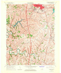 1965 Richmond South1967 Print · USGSMadison County's landscape in the mid-sixties shows the growing city of Richmond alongside the massive Lexington-Blue Grass Army Depot. Local historians can trace old community hubs like Peytontown, Crooksville, and the campus of Eastern Kentucky University.3 unique versions available
 - 1970 Map of Berea, 1972 Print
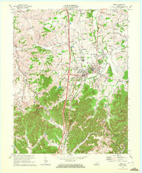 1970 Berea1972 Print · USGSBerea and the surrounding Kentucky hills appear here at the start of the 1970s, showing the intersection of academic, rail, and rural life. Researchers can trace family sites at the Silver Creek Cem, visit Berea College, or follow the Louisville and Nashville through Boone Gap.5 unique versions available
 - 1986 Map of Harrodsburg
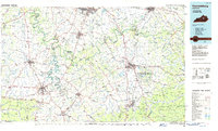 1986 Harrodsburg1986 Print · USGSCentral Kentucky in the mid-eighties reveals a landscape defined by the winding Kentucky River and the bustling county seats of the Bluegrass. Genealogists and historians can trace the evolution of Harrodsburg, Danville, and Nicholasville alongside the Lexington Blue Grass Army Depot.
 - 1991 Map of Harrodsburg
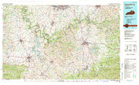 1991 Harrodsburg1991 Print · USGSThe heart of the Bluegrass region comes alive in the late twentieth century, showing the deep river gorges and limestone uplands of central Kentucky. Genealogists and local historians can locate Shakertown, the sprawling Lexington Blue Grass Army Depot, and Berea College.
 - 1997 Map of Richmond South, 2000 Print
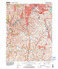 1997 Richmond South2000 Print · USGSMadison County south of Richmond shows a fascinating mix of academic growth and military industry in the late nineties. Local researchers can locate family-named landmarks and rural outposts like Paytontown, Buggytown, and the grounds of Eastern Kentucky University.
 - 2010 Map of Berea, 2010 Print
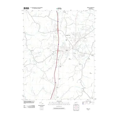 2010 Berea2010 Print · USGSBerea and its surrounding Madison County highlands are captured here in the early twenty-first century. Researchers can locate numerous family burial sites like Todd Cemetery and Witt Cemetery or trace landmarks like Boone Gap.
 - 2010 Map of Richmond South, 2010 Print
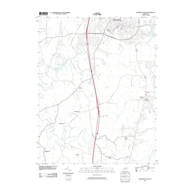 2010 Richmond South2010 Print · USGSMadison County in the early twenty-first century reveals the meeting point of campus life and rural heritage south of the county seat. Researchers can trace historic family-named settlements like Peytontown and Buggytown alongside the sprawling grounds of Eastern Kentucky University.
 - 2011 Map of Bighill, 2011 Print
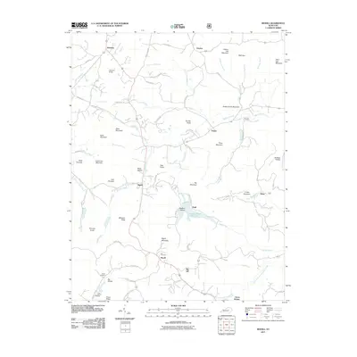 2011 Bighill2011 Print · USGSMadison County's rugged knob country comes into focus in this modern survey of the early twenty-first century. Researchers can trace family history through sites like Hardin Cemetery, the cascades of Anglin Falls, and the small community at Clover Bottom.
 - 2013 Map of Richmond South, 2013 Print
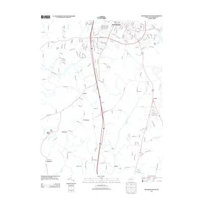 2013 Richmond South2013 Print · USGSMadison County south of Richmond shows a landscape in transition during the early twenty-first century. Researchers can trace the development of local hubs like Caleast, Peytontown, and Duncanon along with landmarks such as Madison Airport and Lake Reba.
 - 2013 Map of Bighill, 2013 Print
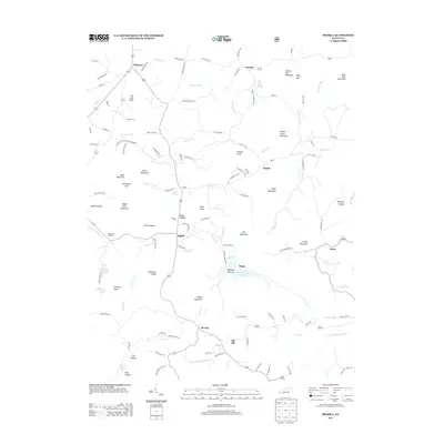 2013 Bighill2013 Print · USGSBerea and the knobs of Madison and Rockcastle counties are shown here in the early twenty-first century as the landscape transitioned toward modern recreation. Trace local landmarks like the Indian Fort Theatre, the waters of Owsley Fork Reservoir, and settlements at Bighill and Dreyfus.
 - 2013 Map of Berea, 2013 Print
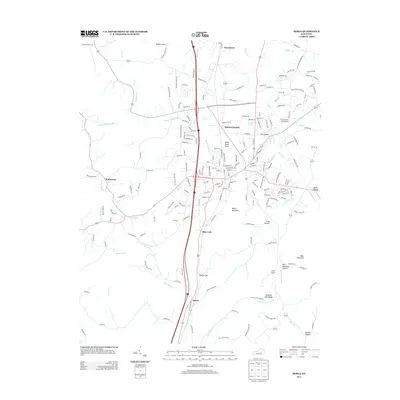 2013 Berea2013 Print · USGSMadison County at the start of the 2010s shows a landscape where historic Kentucky settlements meet modern regional growth. Researchers can trace the development of Middletown and Farristown, or locate family-named landmarks like Dead Horse Knob and Welch Mountain.
 - 2016 Map of Bighill, 2016 Print
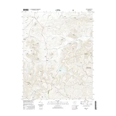 2016 Bighill2016 Print · USGSBerea and the surrounding knobs of Madison and Jackson counties are shown here as they appeared in the mid-2010s. Researchers can locate family landmarks such as Cox Cem, trace the waters of Owsley Fork Reservoir, and explore the high ground of Indian Ft Mtn.
 - 2016 Map of Berea, 2016 Print
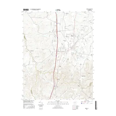 2016 Berea2016 Print · USGSBerea and its namesake college are central to this mid-2010s survey of the Madison County foothills. Researchers can trace family history through several local burial sites like Ogg Cem and Williams Cem or locate the rural settlement at Wallaceton.
 - 2016 Map of Richmond South, 2016 Print
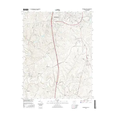 2016 Richmond South2016 Print · USGSMadison County at the turn of the millennium shows the expansion of Richmond alongside established rural communities. Genealogists and historians can trace family locations near Peytontown, Buggytown, and the Blue Grass Memorial Cemetery.
 - 2019 Map of Bighill, 2019 Print
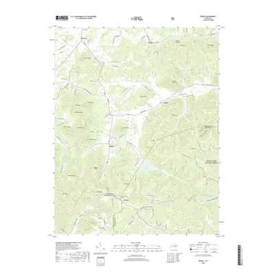 2019 Bighill2019 Print · USGSThe foothills of the Appalachian Mountains meet the Kentucky Bluegrass in this 2019 study of Madison and Rockcastle counties. Local historians can trace the intricate network of ridges and hollows, locating remote family burial sites like Cox Cem and Hardin Cem near Bighill.
 - 2019 Map of Berea, 2019 Print
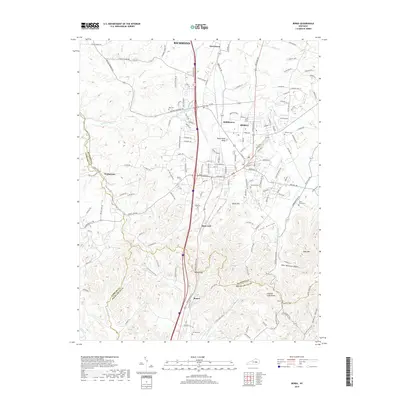 2019 Berea2019 Print · USGSBerea and the Madison County Knobs are captured in the late twenty-teens, showing the complex topography where three counties meet. Genealogists and local historians can trace family locations near Ogg Cem, the settlement of Slate Lick, and landmarks like Boone Gap.
 - 2019 Map of Richmond South, 2019 Print
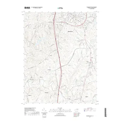 2019 Richmond South2019 Print · USGSMadison County at the end of the 2010s shows the growing connection between Richmond and Berea. Researchers can trace the rural evolution of settlements like Caleast and Peytontown or locate family sites like Haines Cem and Cochran Cem.
 - 2022 Map of Berea, 2022 Print
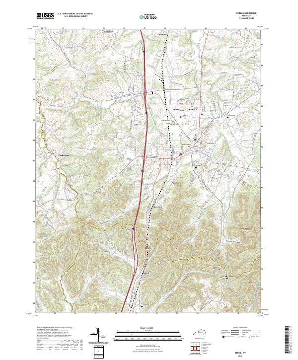 2022 Berea2022 Print · USGSMadison County transitions from the historic campus of Berea College into the rugged knobs and hollows of the Cumberland Plateau. Genealogists can trace family landmarks and burial sites like Todd Cem, Davis-Witt Cem, and the old settlement of Wallaceton.
Showing maps 1-25 of 27
Top cities near Berea
- Richmond historical maps
- Mount Vernon historical maps
- Brodhead historical maps
- Crab Orchard historical maps
Top neighborhoods of Berea
Frequently asked questions
- What are the different types of historical maps available for Berea?
- What is the oldest map of Berea?
- Where can I purchase historical maps of Berea for my home or office?
- Where can I download high-res historical maps of Berea?
- Are there historical topographic maps available for Berea?
- Is there historical aerial imagery available for Berea?
- Where are historical maps of Berea sourced from?