2020s Maps of Carrsville, Kentucky
Explore 4 historic maps of Carrsville from the 2020s. These maps offer a rare glimpse into what life looked like during the 2020s — showing old roads, neighborhoods, homes, and landmarks that have changed or disappeared over time.
Whether you're researching your family's past, planning a metal detecting trip, or studying how Carrsville's landscape evolved across the 2020s, these high-resolution maps are a powerful tool for exploring the history of this region.
- Focus on a specific era: All maps on this page are from the 2020s, giving you a focused view of this time period.
- See what’s changed: Compare century-old streets, trails, and buildings to today's modern landscape using overlays and satellite layers.
- Research with precision: Use these maps for genealogy, historical research, land use analysis, or educational projects.
- View, download, or print: Maps are fully viewable online in high resolution, and can be downloaded or printed for your own records.
Start exploring Carrsville's history through authentic maps from the 2020s. This is your window into the past.
Carrsville, KY maps
(4)- 2021 Map of Rosiclare, 2021 Print
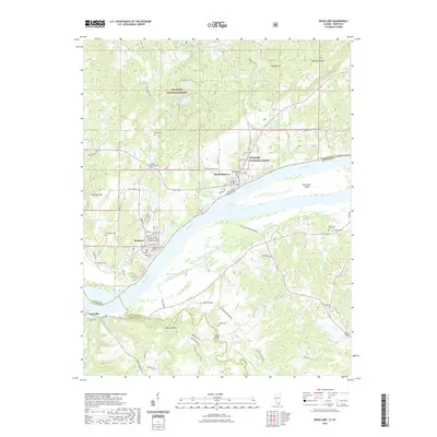 2021 Rosiclare2021 Print · USGSCovers Carrsville, including Rosiclare, Elizabethtown, and other nearby areas
 - 2021 Map of Shetlerville, 2021 Print
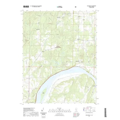 2021 Shetlerville2021 Print · USGSCovers Carrsville, including Gowins, Shetlerville, and other nearby areas
 - 2024 Map of Rosiclare, 2024 Print
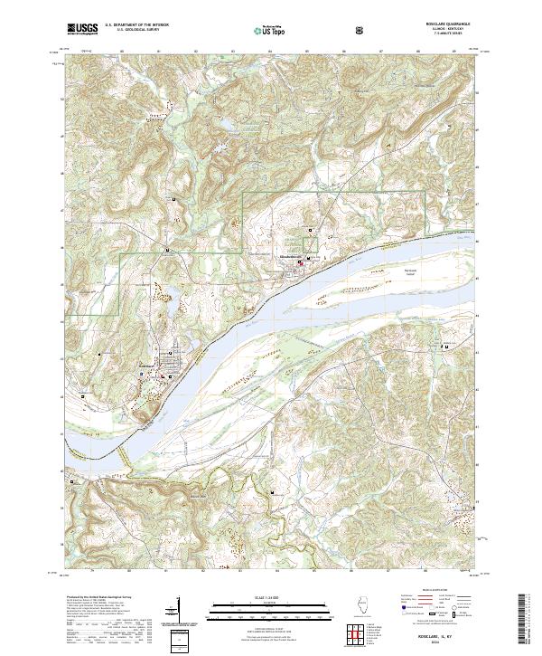 2024 Rosiclare2024 Print · USGSSouthern Illinois river life along the Ohio comes into focus in this contemporary survey of Hardin County. Genealogists and local historians can trace family roots through numerous burial sites like Fluorine Cem and Wallace Cem or locate the Hardin County Courthouse.
 - 2024 Map of Shetlerville, 2024 Print
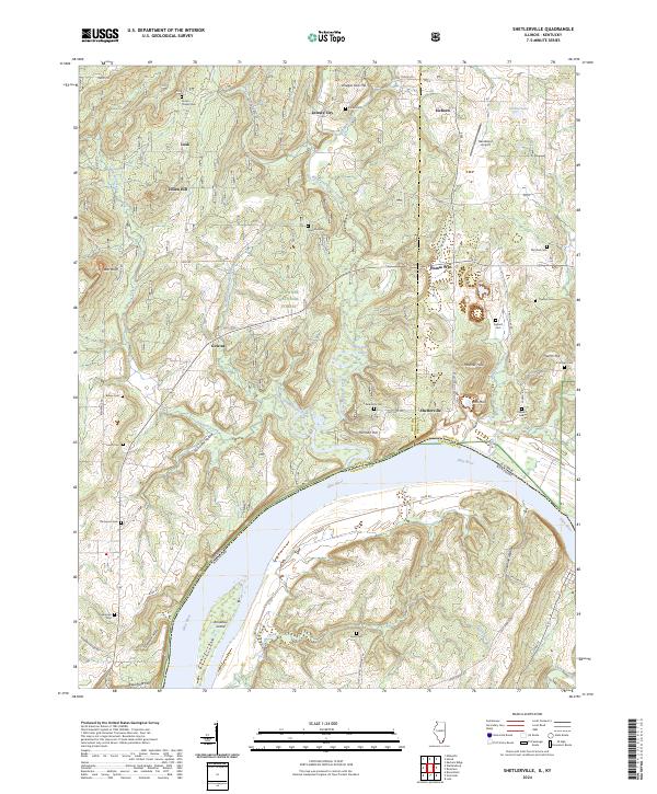 2024 Shetlerville2024 Print · USGSThe riverfront and interior hills of Pope County come into focus in this contemporary study of the Illinois-Kentucky border. Genealogists and hikers can trace numerous family burial sites like Dutton Chapel Cem or explore the creeks around Shetlerville and Gowins.
End of results
Showing maps 1-4 of 4
Top cities near Carrsville
- Rosiclare historical maps
- Salem historical maps
- Golconda historical maps
- Elizabethtown historical maps
- Cave-in-Rock historical maps
- Cave-In-Rock historical maps
See more
Frequently asked questions
- What are the different types of historical maps available for Carrsville?
- What is the oldest map of Carrsville?
- Where can I purchase historical maps of Carrsville for my home or office?
- Where can I download high-res historical maps of Carrsville?
- Are there historical topographic maps available for Carrsville?
- Is there historical aerial imagery available for Carrsville?
- Where are historical maps of Carrsville sourced from?