2020s Maps of Grand Rivers, Kentucky
Explore 3 historic maps of Grand Rivers from the 2020s. These maps offer a rare glimpse into what life looked like during the 2020s — showing old roads, neighborhoods, homes, and landmarks that have changed or disappeared over time.
Whether you're researching your family's past, planning a metal detecting trip, or studying how Grand Rivers's landscape evolved across the 2020s, these high-resolution maps are a powerful tool for exploring the history of this region.
- Focus on a specific era: All maps on this page are from the 2020s, giving you a focused view of this time period.
- See what’s changed: Compare century-old streets, trails, and buildings to today's modern landscape using overlays and satellite layers.
- Research with precision: Use these maps for genealogy, historical research, land use analysis, or educational projects.
- View, download, or print: Maps are fully viewable online in high resolution, and can be downloaded or printed for your own records.
Start exploring Grand Rivers's history through authentic maps from the 2020s. This is your window into the past.
Grand Rivers, KY maps
(3)- 2022 Map of Calvert City, 2022 Print
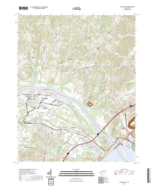 2022 Calvert City2022 Print · USGSModern-day Marshall County comes into focus as it straddles the Tennessee River and the shores of Kentucky Lake. Researchers can trace family history through dozens of rural burial sites like Corinth Church Cem, Miller Cem, and Chappell Cem.
 - 2022 Map of Birmingham Point, 2022 Print
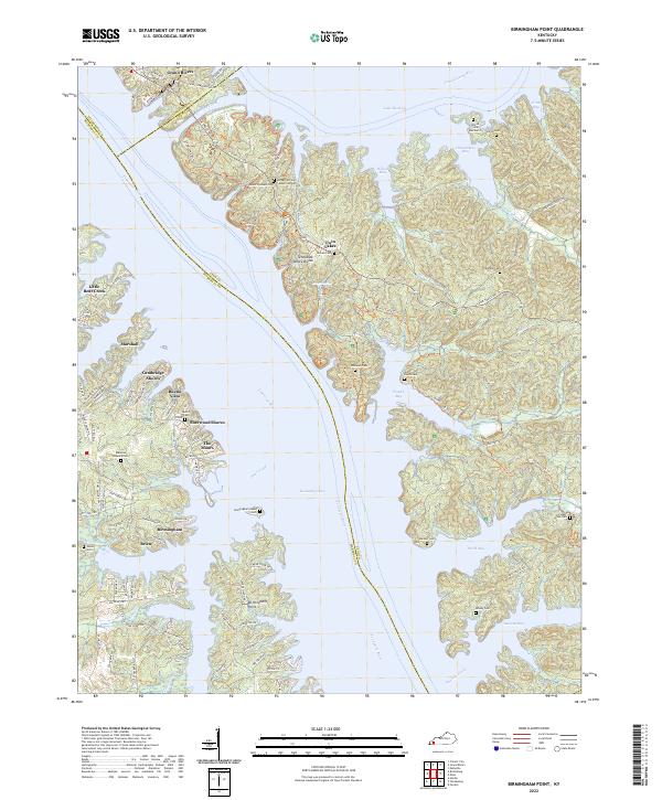 2022 Birmingham Point2022 Print · USGSThe Land Between the Lakes region in the early 2020s shows a landscape shaped by massive water projects and residential growth. Genealogists can locate several family cemeteries like Nickell Cem and Newby Cem tucked away near Nickell Cove and Duncan Bay.
 - 2022 Map of Grand Rivers, 2022 Print
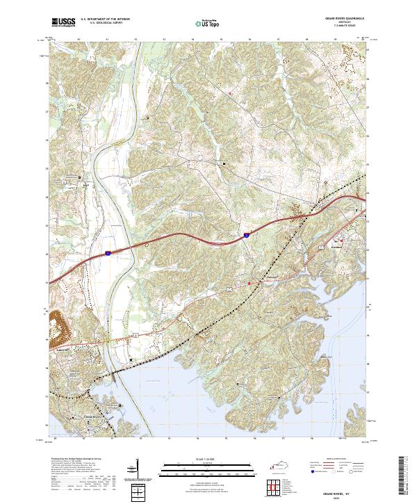 2022 Grand Rivers2022 Print · USGSThe peninsula between the Cumberland and Tennessee rivers comes into focus in this recent survey of the Kentucky lakes region. Genealogists and historians can trace numerous family burial sites like Peek Cem and Ross Family Cem, alongside settlements at Iuka and Kuttawa.
End of results
Showing maps 1-3 of 3
Top cities near Grand Rivers
- Benton historical maps
- Calvert City historical maps
- Eddyville historical maps
- Kuttawa historical maps
- Smithland historical maps
- Fredonia historical maps
Frequently asked questions
- What are the different types of historical maps available for Grand Rivers?
- What is the oldest map of Grand Rivers?
- Where can I purchase historical maps of Grand Rivers for my home or office?
- Where can I download high-res historical maps of Grand Rivers?
- Are there historical topographic maps available for Grand Rivers?
- Is there historical aerial imagery available for Grand Rivers?
- Where are historical maps of Grand Rivers sourced from?