Old Maps of Curtis, Kentucky for Hiking & Exploration
Hike through history with 10 historic maps of Curtis. Explore old trails, ghost towns, and forgotten backroads — perfect for outdoor adventurers and local explorers.
- Rediscover forgotten places: Map out old mining camps, roads, and footpaths that no longer exist on modern maps.
- Layer with modern tools: Combine with LiDAR or satellite views to plan hikes through historical terrain.
- Made for exploration: Popular among hikers, overlanders, and local history lovers.
Use these maps to find adventure and explore the hidden past of Curtis.
Curtis, KY maps
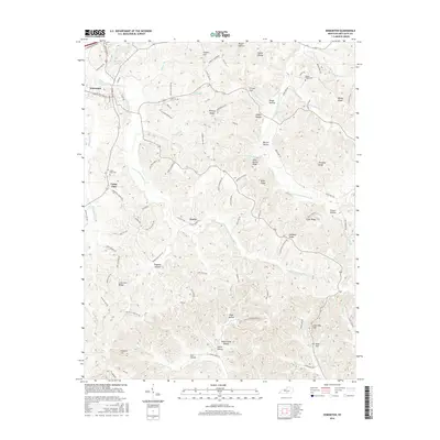
(10)- 1953 Map of Edmonton, 1954 Print
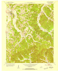 1953 Edmonton1954 Print · USGSThe rural Kentucky landscape around Edmonton comes to life in the early fifties, showing a region of tight-knit ridge communities and river-bottom farms. Researchers can trace ancestral locations through numerous burial sites and schools like Walnut Grove Sch, Winfrey Chapel, and the Moore Spring post office.2 unique versions available
 - 1956 Map of Corbin, 1966 Print
 1956 Corbin1966 Print · USGSThe Kentucky and Tennessee borderlands are captured here in the mid-fifties, showing the region's shift toward modern interstate travel and reservoir development. Genealogists and historians can trace old community lines near Albany and Monticello or locate early rail junctions along the Southern and Tennessee Central lines.3 unique versions available
 - 1958 Map of Corbin
 1958 Corbin1958 Print · USGSThe Upper Cumberland borderlands appear in the late 1950s as massive reservoirs and early atomic-era growth reshape the region. Trace family roots and vanished landmarks near Lake Cumberland, Oak Ridge, and the Cumberland National Forest.
 - 1974 Map of Edmonton, 1975 Print
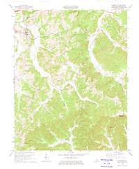 1974 Edmonton1975 Print · USGSMetcalfe County in the mid-seventies shows a landscape of ridge-top farms and river hollows at a time when oil and gas exploration was dotting the hillsides. Researchers can trace local genealogy through several country churches like Lone Star Ch or locate the former Moore Spring (Subtle PO).2 unique versions available
 - 1985 Map of Tompkinsville, 1986 Print
 1985 Tompkinsville1986 Print · USGSThe Kentucky-Tennessee borderlands come into focus in the mid-1980s, showcasing a landscape of river-fed valleys and rural crossroads. Genealogists and local historians can trace family locations from Glasgow and Edmonton to the distinctively named Eighty Eight, Bugtussle, and Akersville.2 unique versions available
 - 2010 Map of Edmonton, 2010 Print
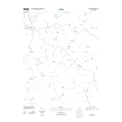
 2010 Edmonton2010 Print · USGSCovers Curtis, including Edmonton, Cedar Flats, and other nearby areas
 - 2013 Map of Edmonton, 2013 Print
 2013 Edmonton2013 Print · USGSCovers Curtis, including Edmonton, Cedar Flats, and other nearby areas
 - 2016 Map of Edmonton, 2016 Print
 2016 Edmonton2016 Print · USGSCovers Curtis, including Edmonton, Cedar Flats, and other nearby areas
 - 2019 Map of Edmonton, 2019 Print
 2019 Edmonton2019 Print · USGSCovers Curtis, including Edmonton, Cedar Flats, and other nearby areas
 - 2022 Map of Edmonton, 2022 Print
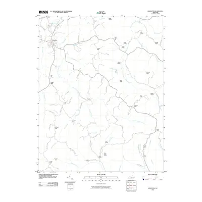
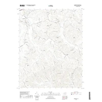
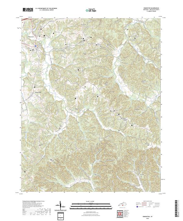 2022 Edmonton2022 Print · USGSMetcalfe County is shown here in the 2020s, centered on the local seat and the winding Little Barren River forks. Family historians can trace ancestral sites like Hamilton-Free-Brookshier Cem, Cedar Flats, and the Metcalfe County Courthouse.
End of results
Showing maps 1-10 of 10
Top cities near Curtis
Frequently asked questions
- What are the different types of historical maps available for Curtis?
- What is the oldest map of Curtis?
- Where can I purchase historical maps of Curtis for my home or office?
- Where can I download high-res historical maps of Curtis?
- Are there historical topographic maps available for Curtis?
- Is there historical aerial imagery available for Curtis?
- Where are historical maps of Curtis sourced from?