Old Maps of Bloomfield, Kentucky for Metal Detecting
Plan your next treasure hunt with 10 historic maps of Bloomfield. Find old homesites, ghost towns, trails, and gathering spots that may be lost to time — perfect for identifying promising metal detecting locations.
- Locate forgotten sites: Uncover places like long-lost settlements, abandoned rail lines, or gathering spots.
- Plan better hunts: Use map overlays combined with LiDAR or satellite views to narrow in on historically rich areas.
- Made for detectorists: Thousands of hobbyists use these maps to discover relics, coins, and hidden history.
Use these historic maps to boost your research and find new opportunities beneath the surface of Bloomfield.
Bloomfield, KY maps
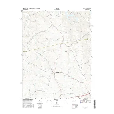
(10)- 1953 Map of Bloomfield, 1954 Print
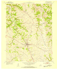 1953 Bloomfield1954 Print · USGSThe Nelson and Spencer County borderlands in the early fifties reveal a landscape of rural communities and family farmsteads. Genealogists can trace property roots near Mt Zion Ch, Maple Grove Cem, and the old Wakefield Sch.2 unique versions available
 - 1957 Map of Winchester, 1968 Print
 1957 Winchester1968 Print · USGSCentral Kentucky's landscape in the mid-twentieth century features the sprawling Fort Knox and the early parkway system. Genealogists and historians can trace rail lines like the Southern Railway and find landmarks from Bernheim Forest to Pilot Knob.3 unique versions available
 - 1960 Map of Winchester
 1960 Winchester1960 Print · USGSCentral Kentucky's diverse landscape is shown here at mid-century, from the bluegrass plains to the rugged Pottsville Escarpment. Genealogists and historians can trace the rail-and-river network connecting towns like Bardstown and Stanford alongside landmarks like Lake Cumberland.
 - 1972 Map of Bloomfield, 1974 Print
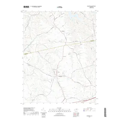
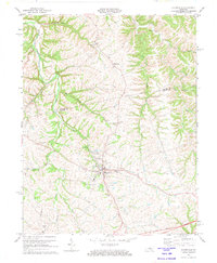 1972 Bloomfield1974 Print · USGSThe Nelson and Spencer County borderlands are shown here in the early 1970s as the regional landscape adjusted to modern infrastructure. Genealogists can trace family heritage through sites like Maple Grove Cem, Wakefield, and Ashes Creek Ch.2 unique versions available
 - 1981 Map of Elizabethtown, 1983 Print
 1981 Elizabethtown1983 Print · USGSCentral Kentucky in the early eighties shows a landscape of military installations, state parks, and historic sites. Genealogists and historians can trace rail lines like the Louisville and Nashville or locate sites like Lebanon National Cemetery and the Lincoln Memorial National Historic Site.
 - 2010 Map of Bloomfield, 2010 Print
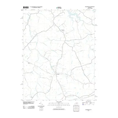 2010 Bloomfield2010 Print · USGSCovers Bloomfield, including Wakefield, Nelson County, and other nearby areas
 - 2013 Map of Bloomfield, 2013 Print
 2013 Bloomfield2013 Print · USGSCovers Bloomfield, including Wakefield, Nelson County, and other nearby areas
 - 2016 Map of Bloomfield, 2016 Print
 2016 Bloomfield2016 Print · USGSCovers Bloomfield, including Wakefield, Nelson County, and other nearby areas
 - 2019 Map of Bloomfield, 2019 Print
 2019 Bloomfield2019 Print · USGSCovers Bloomfield, including Wakefield, Nelson County, and other nearby areas
 - 2022 Map of Bloomfield, 2022 Print
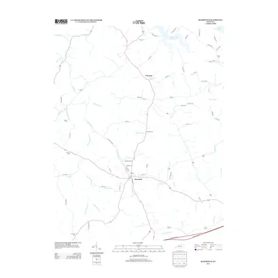
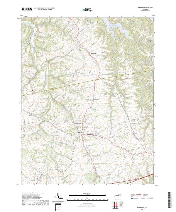 2022 Bloomfield2022 Print · USGSThe northern reaches of Nelson County are documented in the early 2020s, centered on the settlement of Bloomfield. Genealogists and local historians can trace family locations near Maple Grove Cem, Wakefield, and the banks of Simpson Creek.
End of results
Showing maps 1-10 of 10
Top cities near Bloomfield
- Louisville historical maps
- Mount Washington historical maps
- Bardstown historical maps
- Springfield historical maps
- Taylorsville historical maps
- Willisburg historical maps
See more
Frequently asked questions
- What are the different types of historical maps available for Bloomfield?
- What is the oldest map of Bloomfield?
- Where can I purchase historical maps of Bloomfield for my home or office?
- Where can I download high-res historical maps of Bloomfield?
- Are there historical topographic maps available for Bloomfield?
- Is there historical aerial imagery available for Bloomfield?
- Where are historical maps of Bloomfield sourced from?