Old Maps of Willisburg, Kentucky
Explore 16 old maps of Willisburg, spanning from 1953 to today. These high-resolution historic maps reveal how streets, neighborhoods, landmarks, and natural features evolved over time — perfect for genealogy, metal detecting, research, and local history exploration.
What you can do with these maps:
- See how Willisburg changed over time: Compare historical maps to modern-day views to trace roads, homesites, rail lines & more.
- View detailed metadata: Each map includes creators, publishers, year, scale, and archive source.
- Overlay maps with satellite & LiDAR: Visualize the past alongside modern tools to explore terrain & human change.
- Trusted historical sources: Maps sourced from the USGS, Library of Congress, and other archives.
- Access maps your way: View online, download high-res files, or order prints for personal or research use.
Start exploring old maps of Willisburg to uncover forgotten places, hidden landmarks, and the deep history beneath your feet.
Willisburg, KY maps
(16)- 1953 Map of Brush Grove, 1954 Print
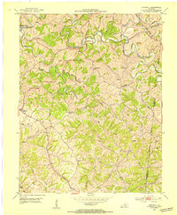
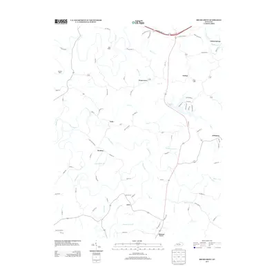
 1953 Brush Grove1954 Print · USGSWashington County during the early fifties remained a landscape of tightly coiled river bends and rural crossroads. Researchers can trace family-named land and local landmarks like Lincoln Homestead State Park, Mt Zion Ch, and the community of Willisburg.2 unique versions available
 - 1953 Map of Cardwell, 1954 Print
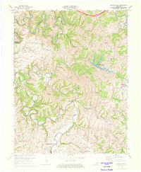
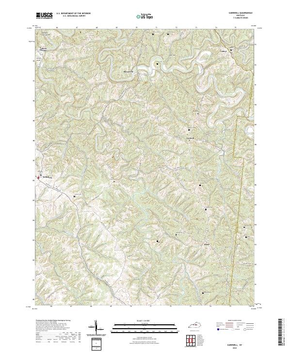
 1953 Cardwell1954 Print · USGSCentral Kentucky's rural landscape is captured here in the early fifties, showing the winding Chaplin River at the border of Washington and Mercer Counties. Researchers can locate many family burial grounds and country crossroads like Tatham Springs, Mt Zion Ch, and the Pinkston Sch.2 unique versions available
 - 1957 Map of Winchester, 1968 Print
 1957 Winchester1968 Print · USGSCentral Kentucky's landscape in the mid-twentieth century features the sprawling Fort Knox and the early parkway system. Genealogists and historians can trace rail lines like the Southern Railway and find landmarks from Bernheim Forest to Pilot Knob.3 unique versions available
 - 1960 Map of Winchester
 1960 Winchester1960 Print · USGSCentral Kentucky's diverse landscape is shown here at mid-century, from the bluegrass plains to the rugged Pottsville Escarpment. Genealogists and historians can trace the rail-and-river network connecting towns like Bardstown and Stanford alongside landmarks like Lake Cumberland.
 - 1972 Map of Brush Grove, 1974 Print
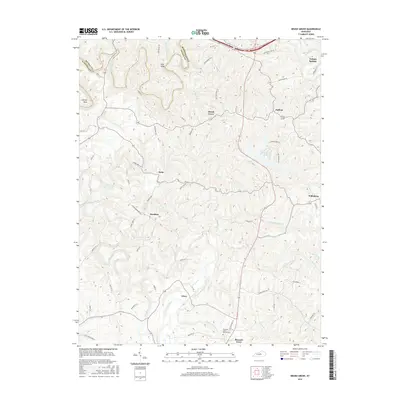
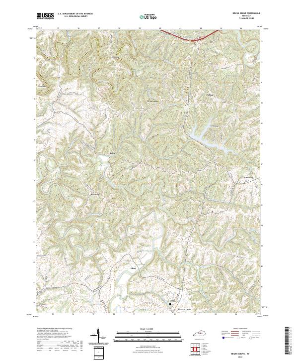
 1972 Brush Grove1974 Print · USGSThe rolling hills of Washington County are shown here in the early seventies, centered on the historic Lincoln Homestead State Park. Genealogists can trace family roots through locations like Willisburg, Hardesty, and several rural churches including Mt Zion Ch.
 - 1981 Map of Elizabethtown, 1983 Print
 1981 Elizabethtown1983 Print · USGSCentral Kentucky in the early eighties shows a landscape of military installations, state parks, and historic sites. Genealogists and historians can trace rail lines like the Louisville and Nashville or locate sites like Lebanon National Cemetery and the Lincoln Memorial National Historic Site.
 - 2010 Map of Cardwell, 2010 Print
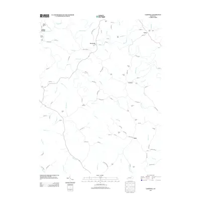
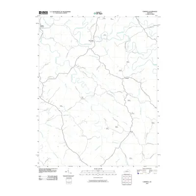 2010 Cardwell2010 Print · USGSCovers Willisburg, including Tatham Springs, Sharpsville, and other nearby areas
 - 2010 Map of Brush Grove, 2010 Print
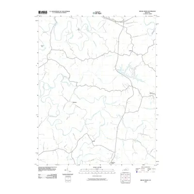 2010 Brush Grove2010 Print · USGSCovers Willisburg, including Pleasant Grove, Polin, and other nearby areas
 - 2013 Map of Cardwell, 2013 Print
 2013 Cardwell2013 Print · USGSCovers Willisburg, including Tatham Springs, Sharpsville, and other nearby areas
 - 2013 Map of Brush Grove, 2013 Print
 2013 Brush Grove2013 Print · USGSCovers Willisburg, including Pleasant Grove, Polin, and other nearby areas
 - 2016 Map of Cardwell, 2016 Print
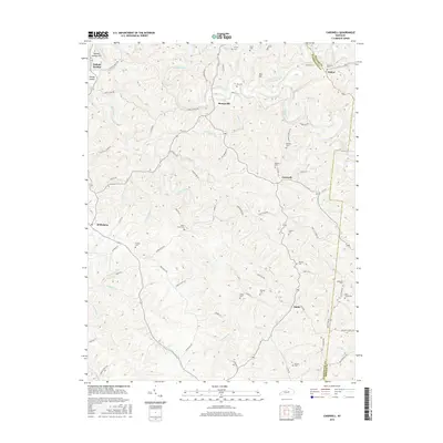 2016 Cardwell2016 Print · USGSCovers Willisburg, including Tatham Springs, Sharpsville, and other nearby areas
 - 2016 Map of Brush Grove, 2016 Print
 2016 Brush Grove2016 Print · USGSCovers Willisburg, including Pleasant Grove, Polin, and other nearby areas
 - 2019 Map of Brush Grove, 2019 Print
 2019 Brush Grove2019 Print · USGSCovers Willisburg, including Pleasant Grove, Polin, and other nearby areas
 - 2019 Map of Cardwell, 2019 Print
 2019 Cardwell2019 Print · USGSCovers Willisburg, including Tatham Springs, Sharpsville, and other nearby areas
 - 2022 Map of Cardwell, 2022 Print
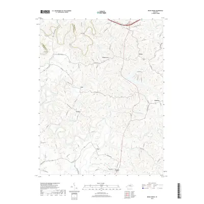
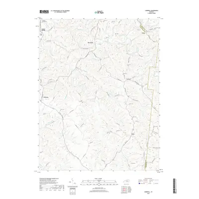
 2022 Cardwell2022 Print · USGSWashington and Mercer counties come to life in this contemporary survey of central Kentucky's ridge country. Researchers can trace family roots through numerous rural burial sites like Bethel Baptist Cem and Salzman Cem or locate the quiet crossroads of Sharpsville and Battle.
 - 2022 Map of Brush Grove, 2022 Print
 2022 Brush Grove2022 Print · USGSThe rolling hills along the Washington and Nelson County line are captured in this contemporary survey of central Kentucky. Genealogists and local historians can trace family roots through settlements like Willisburg, Hardesty, and Litsey or locate landmarks such as the Pleasant Grove Cem.
End of results
Showing maps 1-16 of 16
Top cities near Willisburg
- Lawrenceburg historical maps
- Lebanon historical maps
- Springfield historical maps
- Bloomfield historical maps
- Perryville historical maps
- Taylorsville historical maps
See more
Frequently asked questions
- What are the different types of historical maps available for Willisburg?
- What is the oldest map of Willisburg?
- Where can I purchase historical maps of Willisburg for my home or office?
- Where can I download high-res historical maps of Willisburg?
- Are there historical topographic maps available for Willisburg?
- Is there historical aerial imagery available for Willisburg?
- Where are historical maps of Willisburg sourced from?