2000s (21st Century) Maps of Beaver Dam, Kentucky
Explore 10 historic maps of Beaver Dam from the 2000s (21st Century). These maps offer a rare glimpse into what life looked like during the 2000s — showing old roads, neighborhoods, homes, and landmarks that have changed or disappeared over time.
Whether you're researching your family's past, planning a metal detecting trip, or studying how Beaver Dam's landscape evolved across the 2000s, these high-resolution maps are a powerful tool for exploring the history of this region.
- Focus on a specific era: All maps on this page are from the 2000s, giving you a focused view of this time period.
- See what’s changed: Compare century-old streets, trails, and buildings to today's modern landscape using overlays and satellite layers.
- Research with precision: Use these maps for genealogy, historical research, land use analysis, or educational projects.
- View, download, or print: Maps are fully viewable online in high resolution, and can be downloaded or printed for your own records.
Start exploring Beaver Dam's history through authentic maps from the 2000s. This is your window into the past.
Beaver Dam, KY maps
(10)- 2010 Map of Horton, 2010 Print
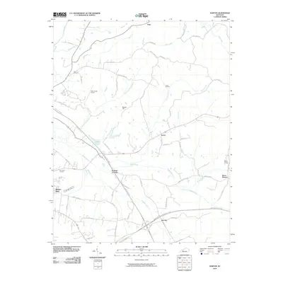 2010 Horton2010 Print · USGSCovers Beaver Dam, including Rob Roy, Jingo, and other nearby areas
 - 2010 Map of Hartford, 2010 Print
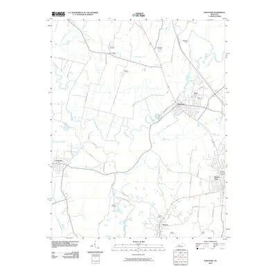 2010 Hartford2010 Print · USGSCovers Beaver Dam, including Hartford, McHenry, and other nearby areas
 - 2013 Map of Horton, 2013 Print
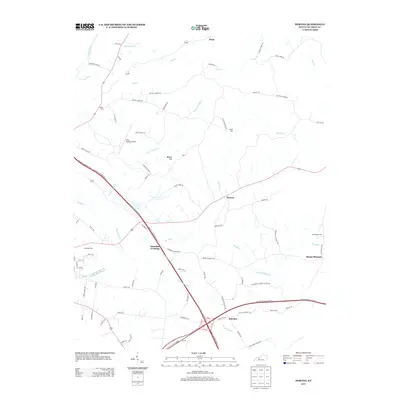 2013 Horton2013 Print · USGSCovers Beaver Dam, including Rob Roy, Jingo, and other nearby areas
 - 2013 Map of Hartford, 2013 Print
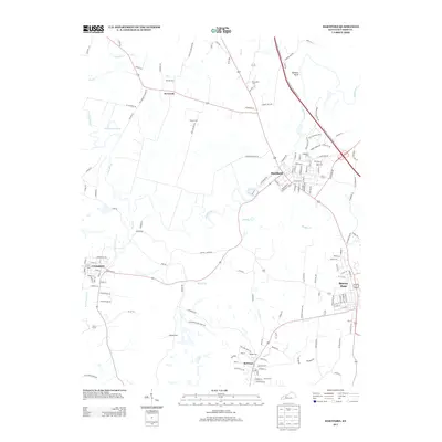 2013 Hartford2013 Print · USGSCovers Beaver Dam, including Hartford, McHenry, and other nearby areas
 - 2016 Map of Hartford, 2016 Print
 2016 Hartford2016 Print · USGSCovers Beaver Dam, including Hartford, McHenry, and other nearby areas
 - 2016 Map of Horton, 2016 Print
 2016 Horton2016 Print · USGSCovers Beaver Dam, including Rob Roy, Jingo, and other nearby areas
 - 2019 Map of Horton, 2019 Print
 2019 Horton2019 Print · USGSCovers Beaver Dam, including Rob Roy, Jingo, and other nearby areas
 - 2019 Map of Hartford, 2019 Print
 2019 Hartford2019 Print · USGSCovers Beaver Dam, including Hartford, McHenry, and other nearby areas
 - 2022 Map of Hartford, 2022 Print
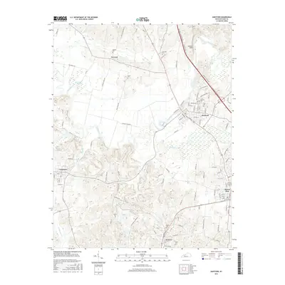
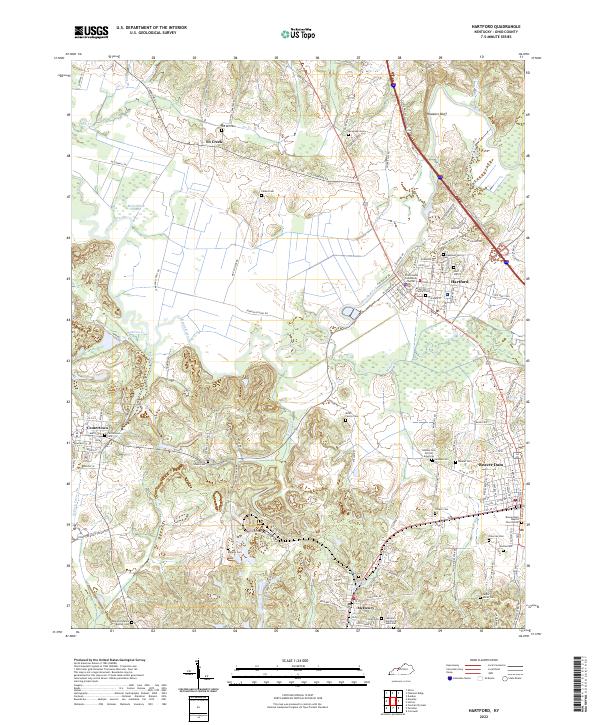 2022 Hartford2022 Print · USGSThe river-and-rail corridor of Ohio County comes alive in this contemporary record of its historic settlements and winding waterways. Genealogists can trace family heritage through numerous burial sites like Taylor Mines Cem, Haiti Cem, and the Morton Family Plot.
 - 2022 Map of Horton, 2022 Print
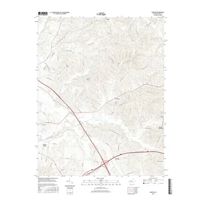
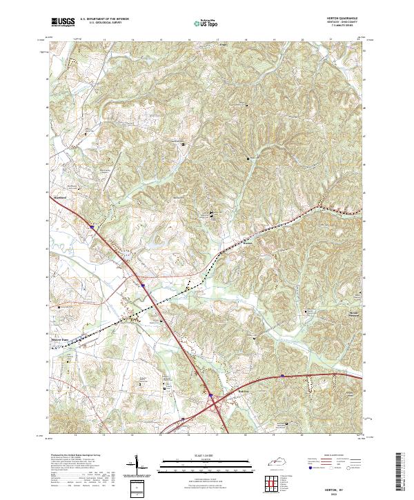 2022 Horton2022 Print · USGSOhio County's rural landscape is captured here in the early twenty-first century, showing the enduring network of family farms and country churches. Genealogists can trace local heritage through sites like Voyles Cem, Old Liberty Church, and the McDowell Cem.
End of results
Showing maps 1-10 of 10
Top cities near Beaver Dam
- Central City historical maps
- Hartford historical maps
- Morgantown historical maps
- Drakesboro historical maps
- Fordsville historical maps
- McHenry historical maps
See more
Frequently asked questions
- What are the different types of historical maps available for Beaver Dam?
- What is the oldest map of Beaver Dam?
- Where can I purchase historical maps of Beaver Dam for my home or office?
- Where can I download high-res historical maps of Beaver Dam?
- Are there historical topographic maps available for Beaver Dam?
- Is there historical aerial imagery available for Beaver Dam?
- Where are historical maps of Beaver Dam sourced from?