Old Maps of Narrows, Kentucky for Metal Detecting
Plan your next treasure hunt with 12 historic maps of Narrows. Find old homesites, ghost towns, trails, and gathering spots that may be lost to time — perfect for identifying promising metal detecting locations.
- Locate forgotten sites: Uncover places like long-lost settlements, abandoned rail lines, or gathering spots.
- Plan better hunts: Use map overlays combined with LiDAR or satellite views to narrow in on historically rich areas.
- Made for detectorists: Thousands of hobbyists use these maps to discover relics, coins, and hidden history.
Use these historic maps to boost your research and find new opportunities beneath the surface of Narrows.
Narrows, KY maps
(12)- 1932 Map of Fordsville
 1932 Fordsville1932 Print · USGSThe hill country of Ohio and Breckinridge Counties is captured here in the early thirties as the railroad age peaked. Researchers can trace family sites at Barretts Ferry PO Davidson Sta, Glen Dean, and the many schools like Fallen Rock Sch.
 - 1954 Map of Evansville
 1954 Evansville1954 Print · USGSThe Ohio River borderlands between Indiana and Kentucky appear here during a period of robust industrial and military growth. Genealogists and researchers can trace the rail corridors of the Illinois Central and find landmarks like US Lock and Dam No 48 or Camp Breckinridge.
 - 1954 Map of Olaton, 1955 Print
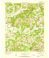 1954 Olaton1955 Print · USGSOhio County, Kentucky, in the mid-1950s is a landscape of creek-bottom farms and rural rail stops. You can trace the Illinois Central line to Davidson Sta or locate family sites like the Fallen Rock Sch and Huff Creek Ch.3 unique versions available
 - 1957 Map of Evansville, 1969 Print
 1957 Evansville1969 Print · USGSIndiana and Kentucky meet along the Ohio River in this mid-century survey of a vital industrial and transport corridor. Genealogists and historians can trace the development of river towns like Owensboro and Newburgh or locate old rail lines like the Southern Ry.3 unique versions available
 - 1961 Map of Evansville
 1961 Evansville1961 Print · USGSThe Ohio River valley and its surrounding coalfields are captured here during the late fifties and early sixties. Trace the industrial rail networks of the Illinois Central RR and explore regional landmarks like Mammoth Cave National Park and Angel Mounds State Memorial.2 unique versions available
 - 1986 Map of Tell City
 1986 Tell City1986 Print · USGSThe Ohio River valley and the Kentucky interior come alive in this mid-eighties record of industry and recreation. Genealogists and historians can trace small rural settlements like Victoria Crossroads, local landmarks such as St Rose, and the extensive shoreline of Rough River Lake.
 - 1991 Map of Tell City
 1991 Tell City1991 Print · USGSThe Ohio River valley at the start of the nineties reveals a landscape of riverfront industry and sprawling conservation lands. Genealogists can locate family landmarks like Wesley Chapel and rural communities such as Reynolds Station and Maceo.
 - 2010 Map of Olaton, 2010 Print
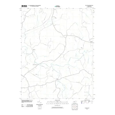 2010 Olaton2010 Print · USGSIn the hills of Ohio County during the early twenty-first century, the river and road networks reveal a deeply rooted rural landscape. Researchers can trace family sites like Axton Cemetery and the historic crossing at Barretts Ford Bridge.
 - 2013 Map of Olaton, 2013 Print
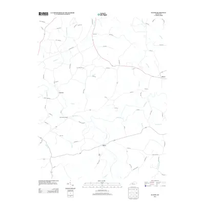 2013 Olaton2013 Print · USGSOhio County's river-bottom lands and rural homesteads are captured here during the early twenty-first century. Researchers can trace ancestral connections and old travel routes through Haynes Cem, Barretts Ford Bridge, and the remnants of a local line along Railroad Bed Rd.
 - 2016 Map of Olaton, 2016 Print
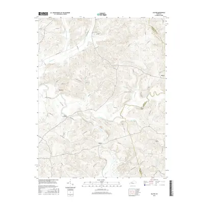 2016 Olaton2016 Print · USGSOhio County in the mid-2010s remains a landscape of river-bottom settlements and deep-rooted family landmarks. Researchers can trace the legacy of local industry and kinship at the Ft Hartford Mine, Haynes Cem, and Barretts Ford Bridge.
 - 2019 Map of Olaton, 2019 Print
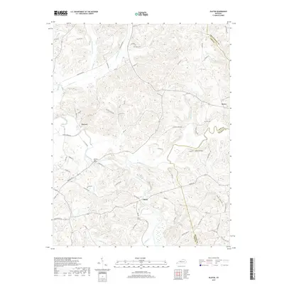 2019 Olaton2019 Print · USGSThe rural Kentucky communities of Ohio and Grayson counties are shown here as they appeared in recent years. Genealogists and local historians can trace family roots through landmarks like Haynes Cem, find the historic Ft Hartford Mine, or locate the Barretts Ford Bridge along the Rough River.
 - 2022 Map of Olaton, 2022 Print
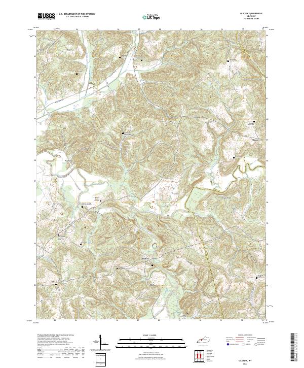 2022 Olaton2022 Print · USGSIn the western Kentucky hills, this survey captures the rural landscape along the Rough River and Caney Creek. Genealogists can trace family locations through numerous sites like Barrett Burying Ground, Huff Creek Church Cem, and the N J Faught Farm.
End of results
Showing maps 1-12 of 12
Top cities near Narrows
- Beaver Dam historical maps
- Hartford historical maps
- Caneyville historical maps
- Whitesville historical maps
- Fordsville historical maps
- McHenry historical maps
Frequently asked questions
- What are the different types of historical maps available for Narrows?
- What is the oldest map of Narrows?
- Where can I purchase historical maps of Narrows for my home or office?
- Where can I download high-res historical maps of Narrows?
- Are there historical topographic maps available for Narrows?
- Is there historical aerial imagery available for Narrows?
- Where are historical maps of Narrows sourced from?