Old Maps of Cedar Point, Kentucky for Hiking & Exploration
Hike through history with 12 historic maps of Cedar Point. Explore old trails, ghost towns, and forgotten backroads — perfect for outdoor adventurers and local explorers.
- Rediscover forgotten places: Map out old mining camps, roads, and footpaths that no longer exist on modern maps.
- Layer with modern tools: Combine with LiDAR or satellite views to plan hikes through historical terrain.
- Made for exploration: Popular among hikers, overlanders, and local history lovers.
Use these maps to find adventure and explore the hidden past of Cedar Point.
Cedar Point, KY maps
(12)- 1932 Map of La Grange
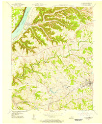
 1932 La Grange1932 Print · USGSThe Bluegrass region in the early thirties reveals a landscape defined by the Louisville and Nashville Railroad and the Ohio River. Genealogists can locate family landmarks like Henrysville Cemetery and several rural schoolhouses including Sweeney Sch.
 - 1954 Map of La Grange, 1956 Print
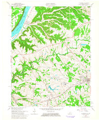
 1954 La Grange1956 Print · USGSMid-century Oldham County is captured here as a landscape of rail-connected towns and riverfront settlements. Genealogists and historians can trace the foundations of La Grange and Buckner, alongside landmarks like Valley Rest Cem and the La Grange State Reformatory.
 - 1956 Map of Louisville, 1971 Print
 1956 Louisville1971 Print · USGSThe Ohio River valley and the Kentucky Bluegrass are captured here during a period of rapid mid-century growth and industrial activity. Genealogists and historians can trace rail-centered towns and military land use at Fort Knox and the Jefferson Proving Ground.2 unique versions available
 - 1961 Map of La Grange, 1963 Print
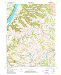
 1961 La Grange1963 Print · USGSThe Kentucky-Indiana border along the Ohio River comes into focus in the early 1960s, showing the sprawl of the State Reformatory Reservation and rural Oldham County. Researchers can trace historic family landmarks from the riverfront at Westport to the Louisville and Nashville rail corridor at Buckner.
 - 1964 Map of Louisville
 1964 Louisville1964 Print · USGSThe Ohio River valley and Kentucky Bluegrass are captured in the mid-1960s, showing a region balanced between industrial growth and its agrarian roots. Genealogists and historians can trace the development of county seats like Shelbyville and Paris, or locate established institutions such as Georgetown College and Bernheim Forest.
 - 1969 Map of La Grange, 1972 Print
 1969 La Grange1972 Print · USGSOldham County in the late 1960s shows a mix of growing rail towns and deep river history along the Ohio. Trace the development of La Grange and Buckner or locate family roots at Westport and Eighteenmile Ch.4 unique versions available
 - 1986 Map of Louisville
 1986 Louisville1986 Print · USGSMid-1980s Louisville and southern Indiana are shown here during a decade of significant suburban growth and infrastructure development. Researchers can trace the layout of Cave Hill Cemetery, the expansion of Standiford Field, and industrial sites like the Indiana Army Ammunition Plant.2 unique versions available
 - 2010 Map of La Grange, 2010 Print
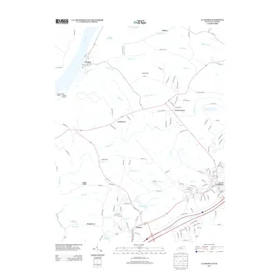
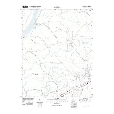 2010 La Grange2010 Print · USGSCovers Cedar Point, including La Grange, Greenhaven, and other nearby areas
 - 2013 Map of La Grange, 2013 Print
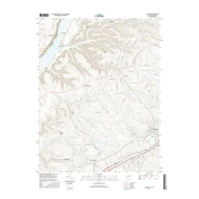
 2013 La Grange2013 Print · USGSCovers Cedar Point, including La Grange, Greenhaven, and other nearby areas
 - 2016 Map of La Grange, 2016 Print
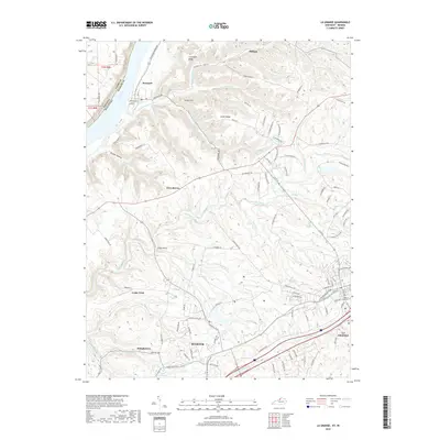
 2016 La Grange2016 Print · USGSCovers Cedar Point, including La Grange, Greenhaven, and other nearby areas
 - 2019 Map of La Grange, 2019 Print
 2019 La Grange2019 Print · USGSCovers Cedar Point, including La Grange, Greenhaven, and other nearby areas
 - 2022 Map of La Grange, 2022 Print
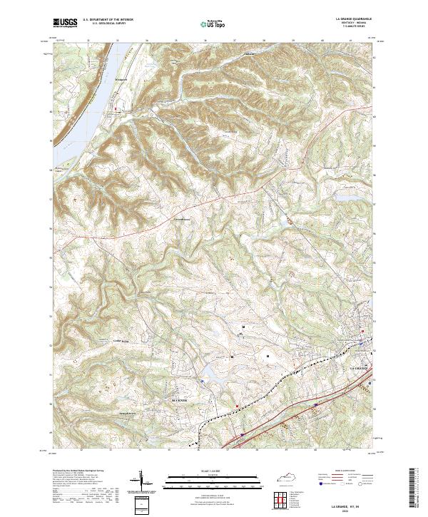 2022 La Grange2022 Print · USGSLa Grange and Buckner anchor this Kentucky landscape as it appeared in recent years, showing the area's mix of civic history and riverfront geography. Researchers can find the Oldham County Courthouse and Valley of Rest Cem, or trace the winding course of Harrods Creek toward the Ohio River.
End of results
Showing maps 1-12 of 12
Top cities near Cedar Point
- Louisville historical maps
- Jeffersonville historical maps
- Jeffersontown historical maps
- Shelbyville historical maps
- Lyndon historical maps
- Middletown historical maps
See more
Frequently asked questions
- What are the different types of historical maps available for Cedar Point?
- What is the oldest map of Cedar Point?
- Where can I purchase historical maps of Cedar Point for my home or office?
- Where can I download high-res historical maps of Cedar Point?
- Are there historical topographic maps available for Cedar Point?
- Is there historical aerial imagery available for Cedar Point?
- Where are historical maps of Cedar Point sourced from?