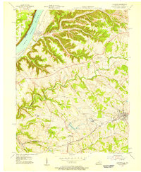
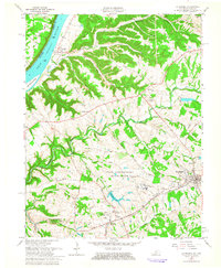
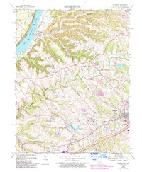
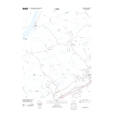
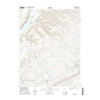
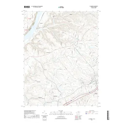
1932 Map of La Grange
USGS Topo · Published 1932About this map
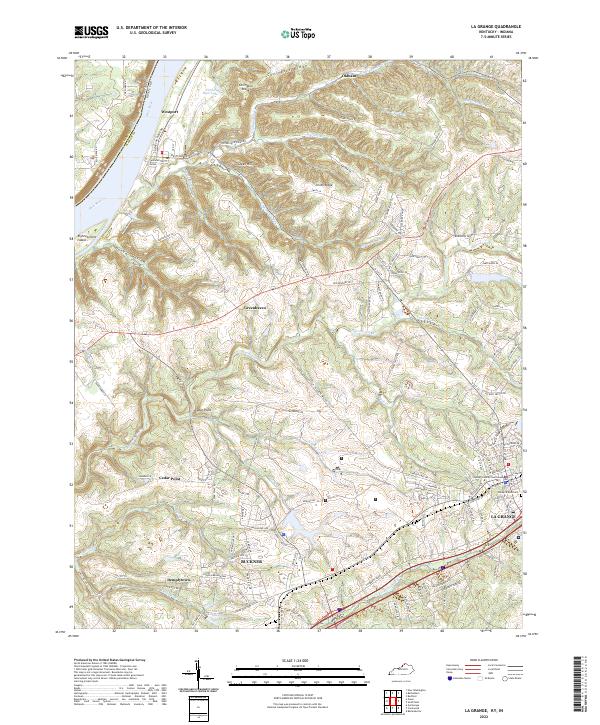
La Grange serves as the central hub of this 1932 topographic survey, where the Louisville and Nashville Railroad cuts through the rolling landscape of Oldham County. The map documents a dense network of early 20th-century rural infrastructure, including a significant number of country schools such as Organ Sch, Massie Sch, and Maple Hall Sch. These small educational outposts, alongside Pleasant Hill Ch and Dover Ch, highlight the community-centered settlement patterns before the mid-century consolidation of rural services.
Find a feature on this map
65 named features on this map. Tap any name to fly to it.
Don’t see what you’re looking for? This feature index may not catch every label — zoom into the map to look around manually.
Map Details
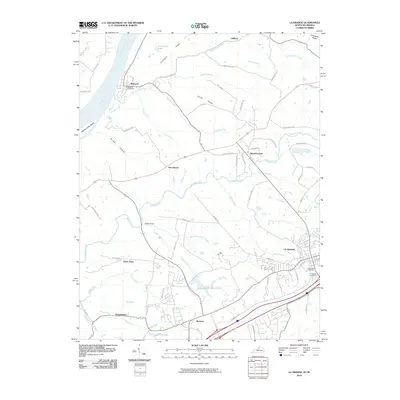
Editions of this 1932 La Grange Map
This is the sole edition of this map. No revisions or reprints were ever made.
Historical Maps of Louisville Through Time
9 maps found