
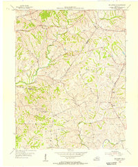
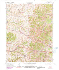
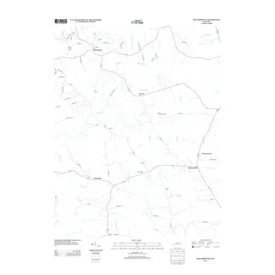
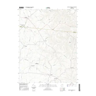
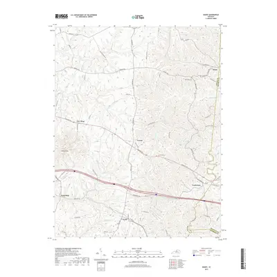
1925 Map of Mount Eden
USGS Topo · Published 1925About this map
Shelbyville serves as the primary hub in this mid-1920s survey of central Kentucky, where the Southern Railway and Louisville Line intersect the historic Midland Trail. The landscape is defined by a dense network of country schools and rural churches, such as Christiansburg Church and Buffalo Lick Church, which anchored the small farming communities of the era. To the south, the terrain becomes increasingly dissected by ridges like Pea Ridge and Brier Ridge, leading down toward the Salt River. A notable topographic landmark, Jeptha Knob, stands out above the surrounding drainage basins of Brashears Creek and Clear Creek. This map captures a transition period in local transportation, showing the early prominence of the Nashville Pike alongside the maturing rail corridors that connected rural villages like Waddy and Clayvillage to the wider region.
Find a feature on this map
93 named features on this map. Tap any name to fly to it.
Don’t see what you’re looking for? This feature index may not catch every label — zoom into the map to look around manually.
Map Details
Editions of this 1925 Mount Eden Map
This is the sole edition of this map. No revisions or reprints were ever made.
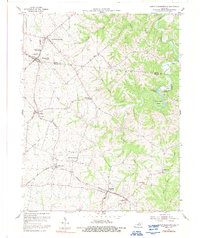
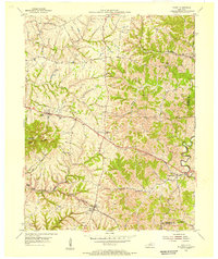
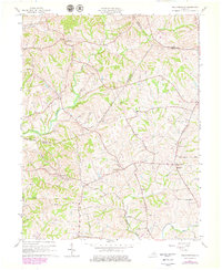
Historical Maps of Shelbyville Through Time
23 maps found

1923 Waddy
Shelby County, KY
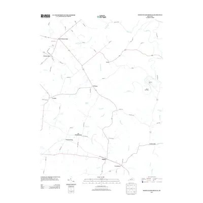
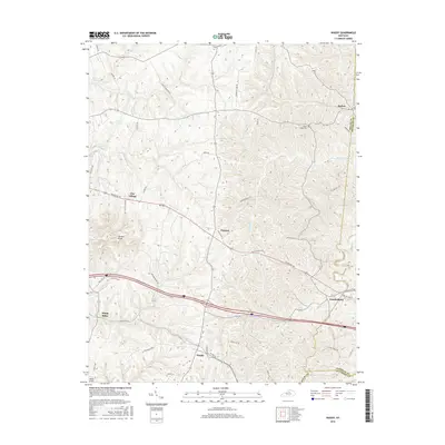
1925 Mount Eden
Shelby County, KY

1927 Mount Eden
Shelby County, KY
1954 Ballardsville
Shelby County, KY
1954 North Pleasureville
Shelby County, KY
1954 Waddy
Shelby County, KY
1961 Ballardsville
Shelby County, KY
1965 Waddy
Shelby County, KY
2010 Ballardsville
Shelby County, KY
2010 North Pleasureville
Shelby County, KY
2010 Waddy
Shelby County, KY
2013 Ballardsville
Shelby County, KY
2013 North Pleasureville
Shelby County, KY
2013 Waddy
Shelby County, KY
2016 Ballardsville
Shelby County, KY
2016 North Pleasureville
Shelby County, KY
2016 Waddy
Shelby County, KY
2019 Ballardsville
Shelby County, KY
2019 North Pleasureville
Shelby County, KY
2019 Waddy
Shelby County, KY
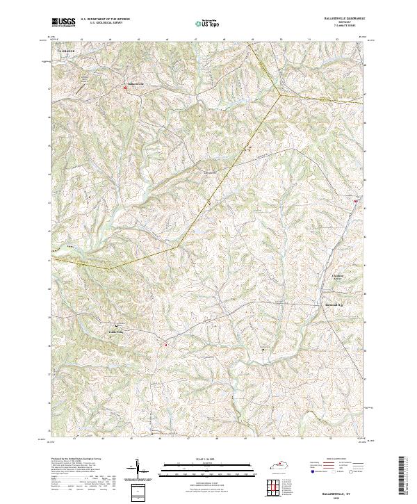
2022 Ballardsville
Shelby County, KY
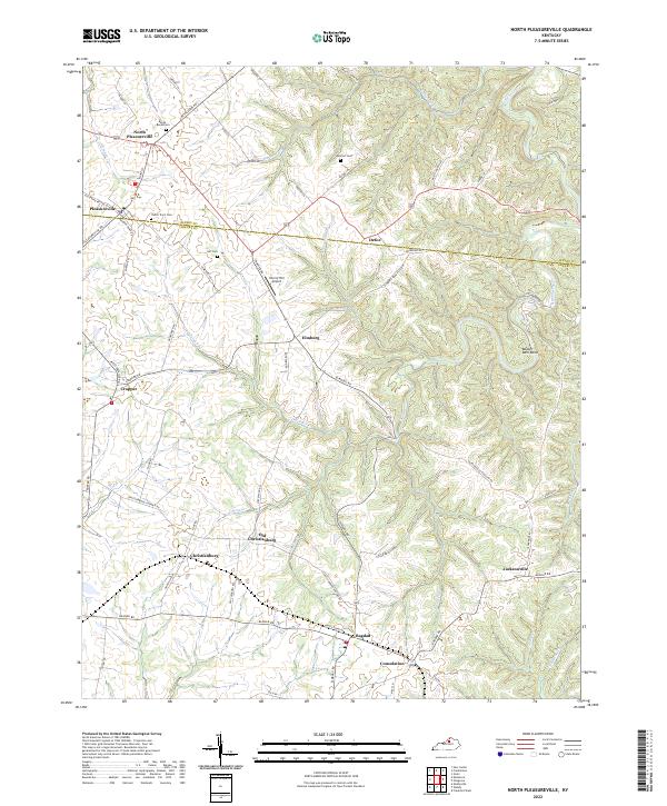
2022 North Pleasureville
Shelby County, KY
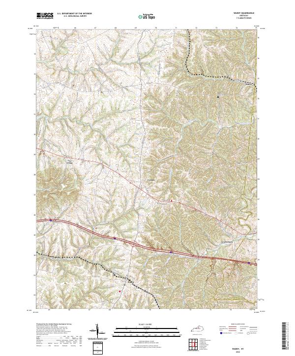
2022 Waddy
Shelby County, KY