Loading...
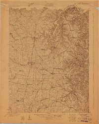
Loading map...1928 Map of New Castle
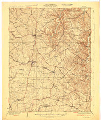
USGS Topo · Published 1928About this map
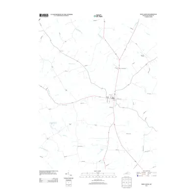
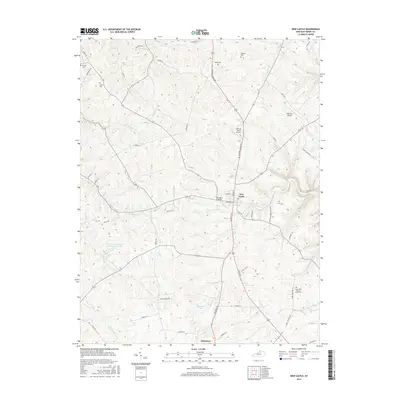
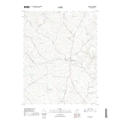
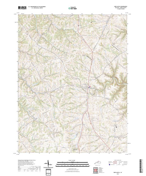
The hills and ridges of New Castle and Eminence dominate this 1928 survey of the Kentucky landscape. This area, spanning the border of Henry and Shelby County, is defined by a dense network of early 20th-century rural infrastructure. The Louisville and Nashville railroad serves as a primary artery, connecting stops like Hill Spring Sta and Pleasureville while facilitating the transport of local agricultural goods.
Find a feature on this map
63 named features on this map. Tap any name to fly to it.
Don’t see what you’re looking for? This feature index may not catch every label — zoom into the map to look around manually.
Map Details
Date Portrayed1928
Date Published1928
PublisherU.S. Geological Survey
Map TypeTopographic
Scale1:48,000
Physical Dimensions22.2 x 27.7 inches
Editions of this 1928 New Castle Map
This is the sole edition of this map. No revisions or reprints were ever made.
Historical Maps of Eminence Through Time
8 maps found
Featured Locations
Source Details
SourceU.S. Geological Survey
CopyrightPublic Domain