
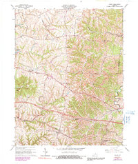
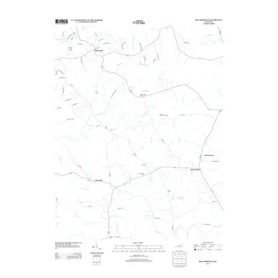
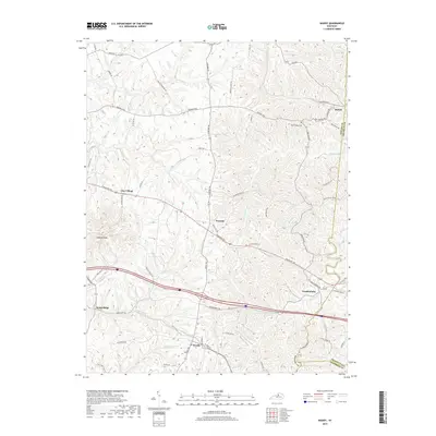
1923 Map of Waddy
USGS Topo · Published 1923About this map
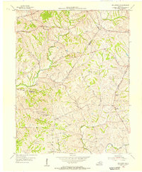
Shelbyville serves as the primary hub in this 1923 survey of central Kentucky, situated at the intersection of the Southern Railway and the historic Midland Trail. The landscape is dominated by the prominent elevation of Jeptha Knob, which stands as a geographic anchor amidst a dense network of watercourses including Guist Creek and Jeptha Creek. This era of the Kentucky countryside is defined by its small, scattered rural communities and a high density of local institutions, evidenced by the numerous country schools like Sulphur Springs School and Ashland School.
Find a feature on this map
57 named features on this map. Tap any name to fly to it.
Don’t see what you’re looking for? This feature index may not catch every label — zoom into the map to look around manually.
Map Details
Editions of this 1923 Waddy Map
This is the sole edition of this map. No revisions or reprints were ever made.
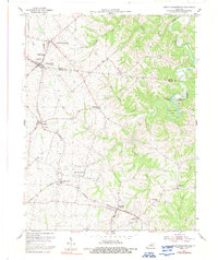
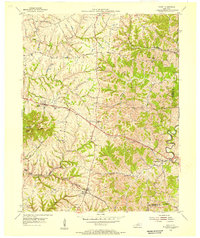
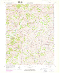
Historical Maps of Shelbyville Through Time
23 maps found
1923 Waddy
Shelby County, KY

1925 Mount Eden
Shelby County, KY

1927 Mount Eden
Shelby County, KY
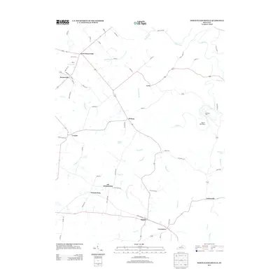
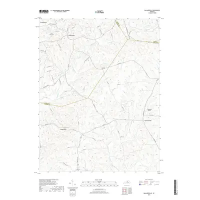
1954 Ballardsville
Shelby County, KY
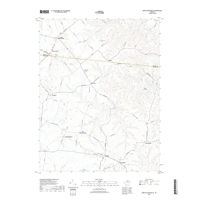
1954 North Pleasureville
Shelby County, KY
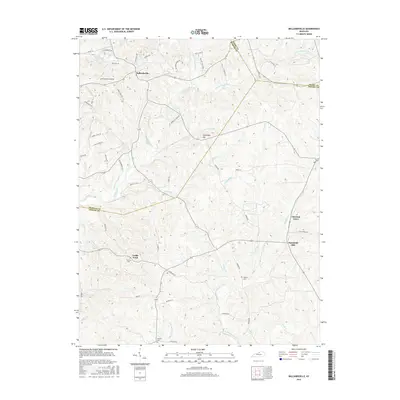
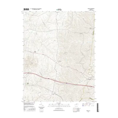
1954 Waddy
Shelby County, KY
1961 Ballardsville
Shelby County, KY
1965 Waddy
Shelby County, KY
2010 Ballardsville
Shelby County, KY
2010 North Pleasureville
Shelby County, KY
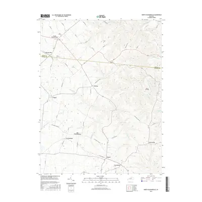
2010 Waddy
Shelby County, KY
2013 Ballardsville
Shelby County, KY
2013 North Pleasureville
Shelby County, KY
2013 Waddy
Shelby County, KY
2016 Ballardsville
Shelby County, KY
2016 North Pleasureville
Shelby County, KY
2016 Waddy
Shelby County, KY
2019 Ballardsville
Shelby County, KY
2019 North Pleasureville
Shelby County, KY
2019 Waddy
Shelby County, KY
2022 Ballardsville
Shelby County, KY
2022 North Pleasureville
Shelby County, KY
2022 Waddy
Shelby County, KY