
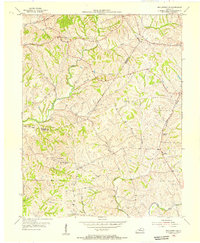
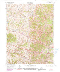
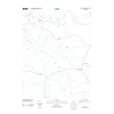
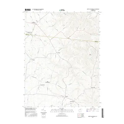
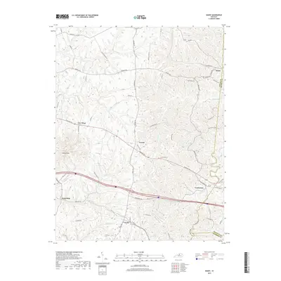
1927 Map of Mount Eden
USGS Topo · Published 1927About this map
Shelbyville serves as the focal point for this survey of the Bluegrass region, where the Southern RR and Southern and IN RR converge amid a landscape defined by prominent ridges. The topography is marked by significant elevations like Jeptha Knob and Snow Hill, with the southern portion of the map transitioning into the dissected plateaus of Pea Ridge and Pleasant Grove Ridge near the Salt River.
Find a feature on this map
92 named features on this map. Tap any name to fly to it.
Don’t see what you’re looking for? This feature index may not catch every label — zoom into the map to look around manually.
Map Details
Editions of this 1927 Mount Eden Map
This is the sole edition of this map. No revisions or reprints were ever made.
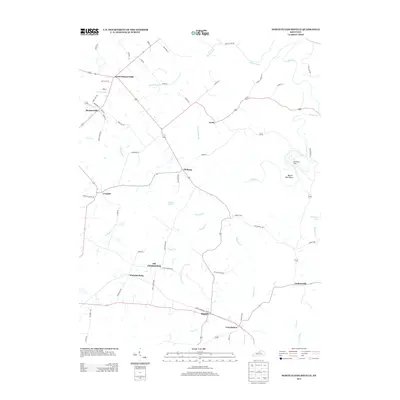
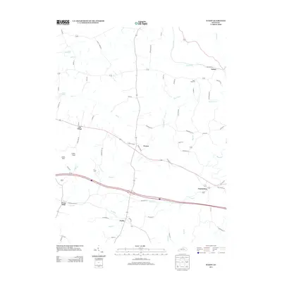
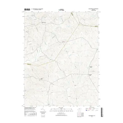
Historical Maps of Shelbyville Through Time
23 maps found

1923 Waddy
Shelby County, KY

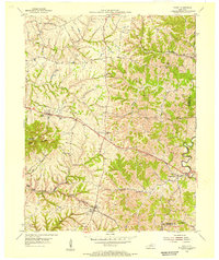
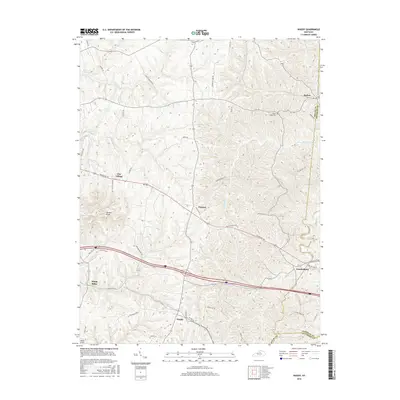
1925 Mount Eden
Shelby County, KY
1927 Mount Eden
Shelby County, KY
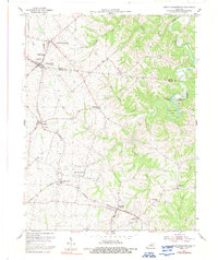
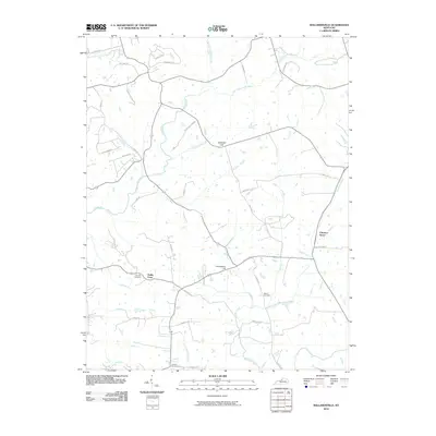
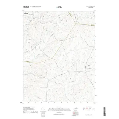
1954 Ballardsville
Shelby County, KY
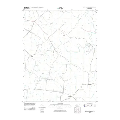
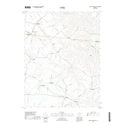
1954 North Pleasureville
Shelby County, KY
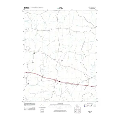
1954 Waddy
Shelby County, KY
1961 Ballardsville
Shelby County, KY
1965 Waddy
Shelby County, KY
2010 Ballardsville
Shelby County, KY
2010 North Pleasureville
Shelby County, KY
2010 Waddy
Shelby County, KY
2013 Ballardsville
Shelby County, KY
2013 North Pleasureville
Shelby County, KY
2013 Waddy
Shelby County, KY
2016 Ballardsville
Shelby County, KY
2016 North Pleasureville
Shelby County, KY
2016 Waddy
Shelby County, KY
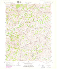
2019 Ballardsville
Shelby County, KY
2019 North Pleasureville
Shelby County, KY
2019 Waddy
Shelby County, KY
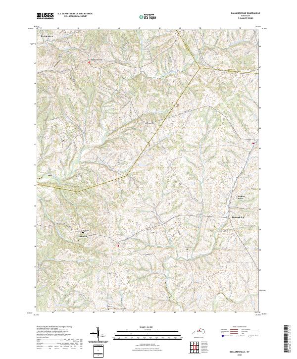
2022 Ballardsville
Shelby County, KY
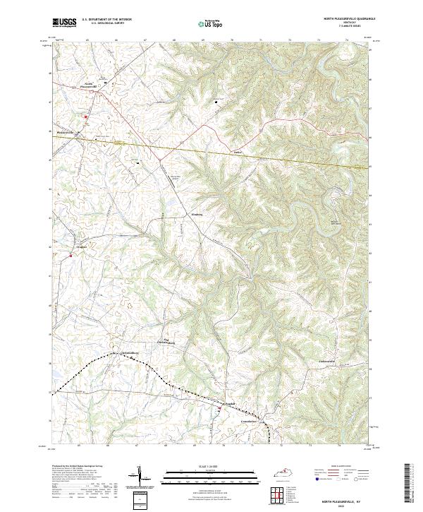
2022 North Pleasureville
Shelby County, KY
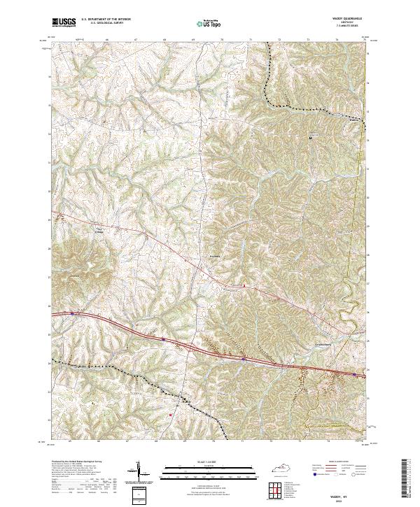
2022 Waddy
Shelby County, KY