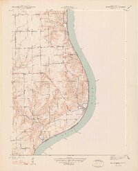
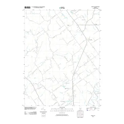
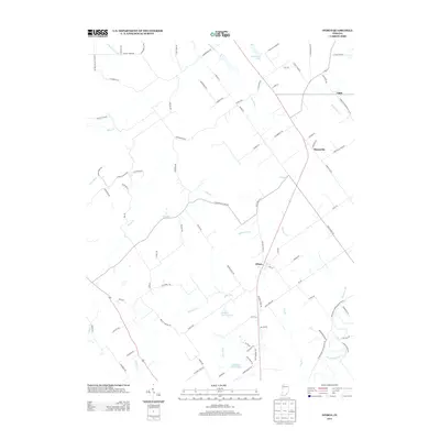
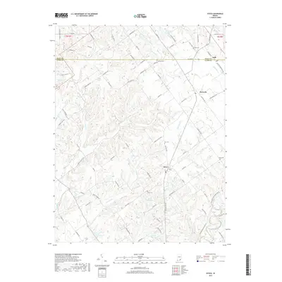
1938 Map of Owen
USGS Topo · Published 1938About this map
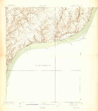
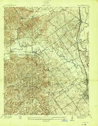
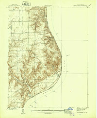
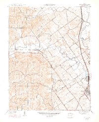
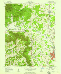
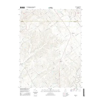
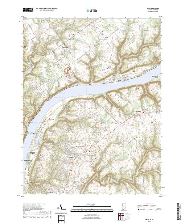
Rose Island and its accompanying Rose Island Landing anchor the western shoreline of the Ohio River in this pre-war survey. The landscape is defined by the legacy of the Clark Military Grant, where the rectilinear survey lines of Charlestown contrast with the winding paths of Fourteenmile Creek and Eighteenmile Creek. This period reveals a densely settled rural network of community landmarks, including the Salem Ch near Runyantown and several local education centers like Golden Valley Sch and Giltner Sch. Small settlements such as Owen and Vesta serve as inland hubs, connected by the early corridor of State Highway No 62. The terrain is marked by significant drainages like Owen Creek and Bull Creek, which carve through the heights overlooking the river border between Indiana and Kentucky.
Find a feature on this map
30 named features on this map. Tap any name to fly to it.
Don’t see what you’re looking for? This feature index may not catch every label — zoom into the map to look around manually.
Map Details
Editions of this 1938 Owen Map
This is the sole edition of this map. No revisions or reprints were ever made.
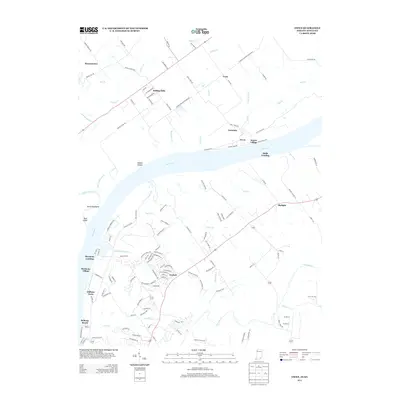
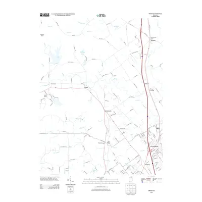
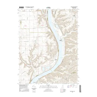
Historical Maps of Charlestown Through Time
31 maps found
1938 Owen
Clark County, IN
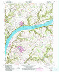
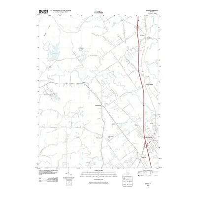
1938 Speed
Clark County, IN
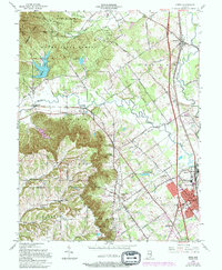
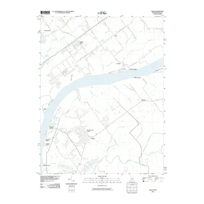
1939 Bethlehem
Clark County, IN
1947 Speed
Clark County, IN
1948 Bethlehem
Clark County, IN
1948 Owen
Clark County, IN
1953 Bethlehem
Clark County, IN
1956 Otisco
Clark County, IN
1957 Speed
Clark County, IN
1961 Owen
Clark County, IN
1963 Speed
Clark County, IN
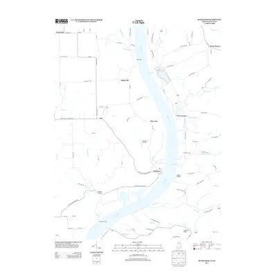
2010 Bethlehem
Clark County, IN
2010 Otisco
Clark County, IN
2010 Owen
Clark County, IN
2010 Speed
Clark County, IN
2013 Bethlehem
Clark County, IN
2013 Otisco
Clark County, IN
2013 Owen
Clark County, IN
2013 Speed
Clark County, IN
2016 Bethlehem
Clark County, IN
2016 Otisco
Clark County, IN
2016 Owen
Clark County, IN
2016 Speed
Clark County, IN
2019 Bethlehem
Clark County, IN
2019 Otisco
Clark County, IN
2019 Owen
Clark County, IN
2019 Speed
Clark County, IN
2022 Otisco
Clark County, IN
2022 Owen
Clark County, IN
2022 Speed
Clark County, IN
2023 Bethlehem
Clark County, IN