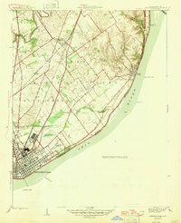
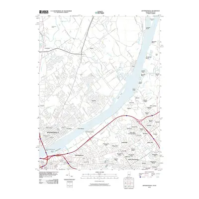
1946 Map of Jeffersonville
USGS Topo · Published 1946About this map
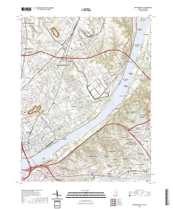
The Ohio River shoreline anchors this 1946 edition, showcasing the industrial and residential grid of Jeffersonville just before the post-war expansion. A heavy concentration of transit infrastructure defines the landscape, with the Pennsylvania Railroad, Baltimore and Ohio Railroad, and the Indiana Electric Railroad converging on the riverfront. To the north, the Clark Military Grant divides the land into large diagonal sections, creating a distinct geometry that contrasts with the traditional river-oriented settlements like Utica and Cementville.
Find a feature on this map
39 named features on this map. Tap any name to fly to it.
Don’t see what you’re looking for? This feature index may not catch every label — zoom into the map to look around manually.
Map Details
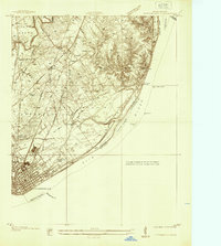
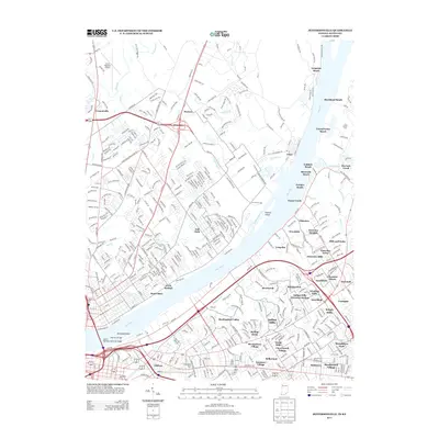
Editions of this 1946 Jeffersonville Map
2 editions found

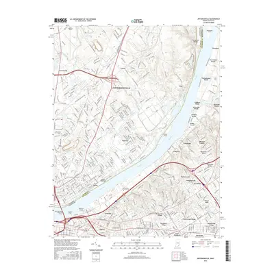
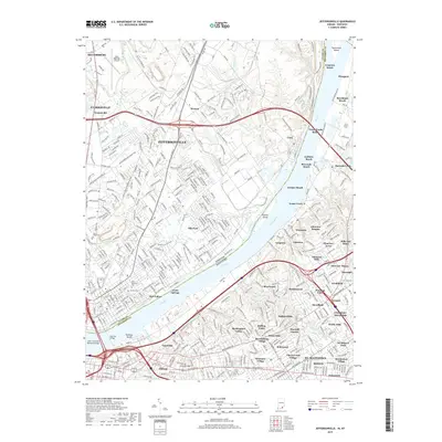
Historical Maps of Louisville Through Time
13 maps found
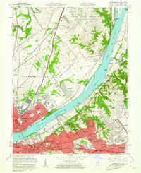
1937 Jeffersonville
Clark County, IN
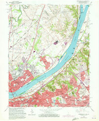
1946 Jeffersonville
Clark County, IN
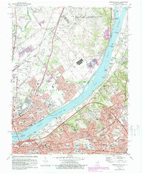
1951 Jeffersonville
Clark County, IN
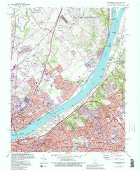
1955 Jeffersonville
Clark County, IN
1960 Jeffersonville
Clark County, IN
1965 Jeffersonville
Clark County, IN
1982 Jeffersonville
Clark County, IN
1993 Jeffersonville
Clark County, IN
2010 Jeffersonville
Clark County, IN
2013 Jeffersonville
Clark County, IN
2016 Jeffersonville
Clark County, IN
2019 Jeffersonville
Clark County, IN
2022 Jeffersonville
Clark County, IN