
1912 Map of Kosmosdale
USGS Topo · Published 1912About this map
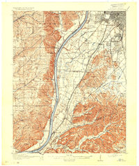
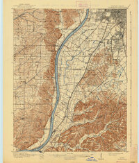
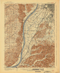
The Ohio River carves a deep valley through this 1912 landscape, separating the high bluffs of southern Indiana from the developing outskirts of Louisville. On the Kentucky side, a network of infrastructure is evident, from the Illinois Central R. R. and L. and N. R. R. lines to the Electric Railroad extending toward Shively. The southern portion of the sheet reveals the complex topography of the Knobs, where family-named peaks like Moremens Hill and Miller Hill rise above rural communities like Medora and Kosmosdale.
Find a feature on this map
141 named features on this map. Tap any name to fly to it.
Don’t see what you’re looking for? This feature index may not catch every label — zoom into the map to look around manually.
Map Details
Editions of this 1912 Kosmosdale Map
4 editions found
Other maps of this area

1905 · Prospect
USGS Topo · 1:62,500

1907 · Louisville
USGS Topo · 1:62,500

1909 · Kosmosdale
USGS Topo · 1:48,000

1912 · Prospect
USGS Topo · 1:62,500

1931 · Corydon
USGS Topo · 1:62,500

1936 · Vine Grove
USGS Topo · 1:62,500

1937 · Jeffersonville
USGS Topo · 1:24,000

1939 · New Albany
USGS Topo · 1:24,000

1939 · Georgetown
USGS Topo · 1:24,000

1941 · Ekron
USGS Topo · 1:62,500