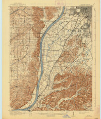
1912 Map of Kosmosdale
USGS Topo · Published 1938About this map
The Ohio River carves a dominant path through this landscape, separating the rugged, knob-filled terrain of Indiana's Harrison County from the expanding settlements south of Louisville. In this era before massive suburbanization, rural communities like Kosmosdale, Medora, and Johnsontown are clearly defined alongside a dense network of early schools and churches, including the Mill Creek School and Wesley Chapel. The topographic detail reveals a stark contrast between the flat alluvial plains of Cane Run and the dramatic relief of Muldraughs Hill and Rabbit Hash Ridge.
Find a feature on this map
128 named features on this map. Tap any name to fly to it.
Don’t see what you’re looking for? This feature index may not catch every label — zoom into the map to look around manually.
Map Details
Editions of this 1912 Kosmosdale Map
4 editions found
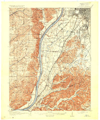
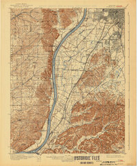
Other maps of this area

1905 · Prospect
USGS Topo · 1:62,500

1907 · Louisville
USGS Topo · 1:62,500

1909 · Kosmosdale
USGS Topo · 1:48,000

1912 · Prospect
USGS Topo · 1:62,500

1912 · Kosmosdale
USGS Topo · 1:62,500

1931 · Corydon
USGS Topo · 1:62,500

1936 · Vine Grove
USGS Topo · 1:62,500

1937 · Jeffersonville
USGS Topo · 1:24,000

1939 · New Albany
USGS Topo · 1:24,000

1939 · Georgetown
USGS Topo · 1:24,000