
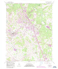
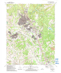
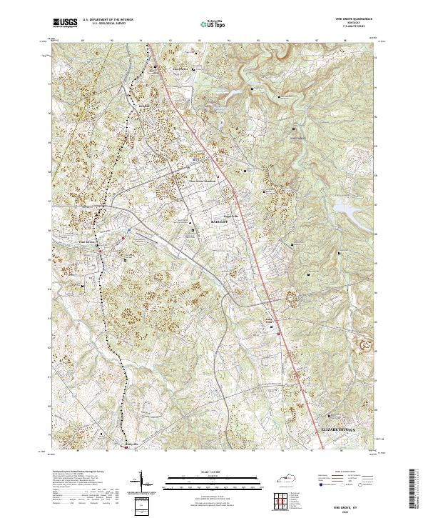
1936 Map of Vine Grove
USGS Topo · Published 1936About this map
Fort Knox Military Reservation dominates the central landscape of this survey, illustrating the significant expansion of the post during the early 1940s. The terrain transitions from the Ohio River bottomlands at West Point into the upland ridges of March Ridge and Snow Mt. This era sees the convergence of vital transportation lines, with the Dixie Highway and the Illinois Central and Louisville and Nashville railroads providing the backbone for military and civilian movement. Local infrastructure is highly detailed, showing Radcliff, Vine Grove, and numerous rural schoolhouses such as Hartman Sch and Deckard Sch. An interesting intersection of industry and antiquity is found near the river, where the Kentucky Silica Sand Co operations sit just south of an ancient Indian Mound, reflecting the deep layers of human occupation in this part of Hardin County.
Find a feature on this map
82 named features on this map. Tap any name to fly to it.
Don’t see what you’re looking for? This feature index may not catch every label — zoom into the map to look around manually.
Map Details
Editions of this 1936 Vine Grove Map
This is the sole edition of this map. No revisions or reprints were ever made.
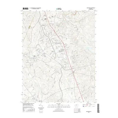
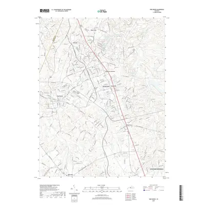
Historical Maps of Louisville Through Time
11 maps found
1936 Vine Grove
Hardin County, KY

1943 Vine Grove
Hardin County, KY

1946 Vine Grove
Hardin County, KY

1946 Vine Grove
Hardin County, KY
1960 Vine Grove
Hardin County, KY
1991 Vine Grove
Hardin County, KY
2010 Vine Grove
Hardin County, KY
2013 Vine Grove
Hardin County, KY
2016 Vine Grove
Hardin County, KY
2019 Vine Grove
Hardin County, KY
2022 Vine Grove
Hardin County, KY