
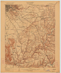
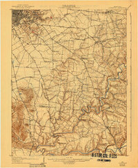
1907 Map of Louisville
USGS Topo · Published 1907About this map
Louisville and its southern environs appear at a pivotal moment of expansion during this 1905 survey, showing the transition from the city’s dense urban grid to the sprawling agricultural and riverine landscape of Jefferson County. The prominent Cave Hill Cemetery and Cherokee Park anchor the urban edge, while a web of turnpikes including the Shelbyville Pike and Bardstown Pike radiate toward outlying settlements like Jeffersontown and Middletown.
Find a feature on this map
77 named features on this map. Tap any name to fly to it.
Don’t see what you’re looking for? This feature index may not catch every label — zoom into the map to look around manually.
Map Details
Editions of this 1907 Louisville Map
3 editions found
Other maps of this area

1905 · Prospect
USGS Topo · 1:62,500

1909 · Kosmosdale
USGS Topo · 1:48,000

1912 · Prospect
USGS Topo · 1:62,500

1912 · Kosmosdale
USGS Topo · 1:62,500

1929 · Taylorsville
USGS Topo · 1:62,500

1932 · La Grange
USGS Topo · 1:62,500

1936 · Vine Grove
USGS Topo · 1:62,500

1937 · Jeffersonville
USGS Topo · 1:24,000

1939 · New Albany
USGS Topo · 1:24,000

1943 · Vine Grove
USGS Topo · 1:62,500