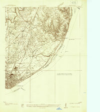
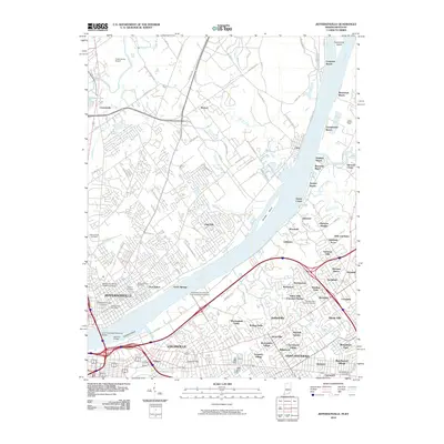
1937 Map of Jeffersonville
USGS Topo · Published 1937About this map
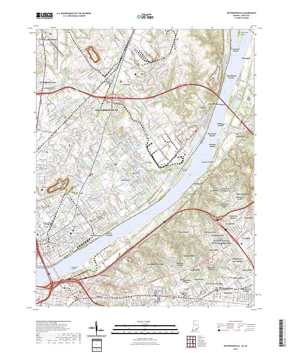
Jeffersonville stands as a primary riverfront hub in this 1937 topographic survey, showing its dense grid and industrial layout just across from the Kentucky border. The Ohio River dominates the landscape, featuring several prominent landforms like Sixmile Island and Towhead Island. The map records a transition in transit, documenting the Pennsylvania Railroad and Baltimore and Ohio Railroad alongside the Indiana Railroad (Electric Line). Beyond the city, the land rises into the Illinois Grant, where smaller settlements like Watson and Utica are linked by historic routes such as the Charlestown Pike and Hamburg Pike. Local life is detailed through the location of Asbury Chapel, Lane Sch, and the Walnut Ridge Cemetery, providing a clear look at the community's rural development before mid-century expansion.
Find a feature on this map
42 named features on this map. Tap any name to fly to it.
Don’t see what you’re looking for? This feature index may not catch every label — zoom into the map to look around manually.
Map Details
Editions of this 1937 Jeffersonville Map
This is the sole edition of this map. No revisions or reprints were ever made.
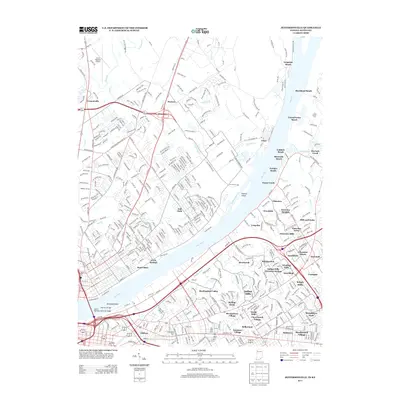
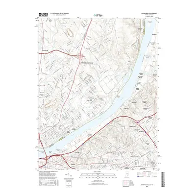
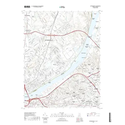
Historical Maps of Louisville Through Time
13 maps found
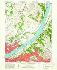
1937 Jeffersonville
Clark County, IN
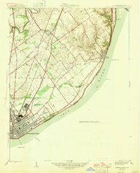
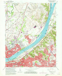
1946 Jeffersonville
Clark County, IN
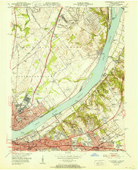
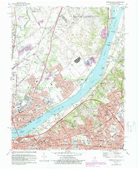
1951 Jeffersonville
Clark County, IN
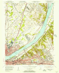
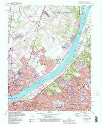
1955 Jeffersonville
Clark County, IN
1960 Jeffersonville
Clark County, IN
1965 Jeffersonville
Clark County, IN
1982 Jeffersonville
Clark County, IN
1993 Jeffersonville
Clark County, IN
2010 Jeffersonville
Clark County, IN
2013 Jeffersonville
Clark County, IN
2016 Jeffersonville
Clark County, IN
2019 Jeffersonville
Clark County, IN
2022 Jeffersonville
Clark County, IN