Loading...
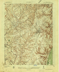
Loading map...1937 Map of Charlestown
USGS Topo · Published 1937About this map
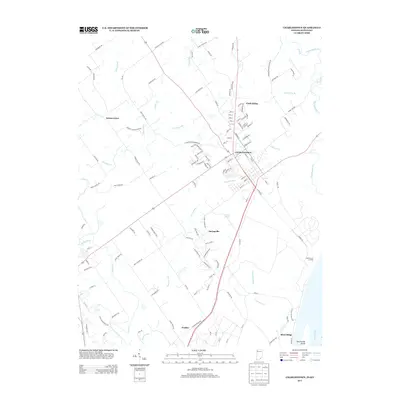
Charlestown serves as a central hub on this 1937 survey, where the Baltimore and Ohio RR intersects with early routes like State Highway No 62. The landscape is a detailed record of Clark County's social infrastructure during the late Depression era, featuring several rural education sites like Crab College and the Jenny Lind Sch. Local genealogy is well-preserved through numerous family burial grounds, including the Bottorff Cem, Worrell Cem, and Robinson Cem.
Find a feature on this map
50 named features on this map. Tap any name to fly to it.
Don’t see what you’re looking for? This feature index may not catch every label — zoom into the map to look around manually.
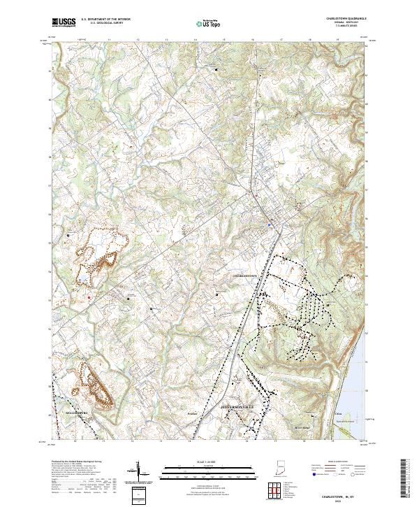
Map Details
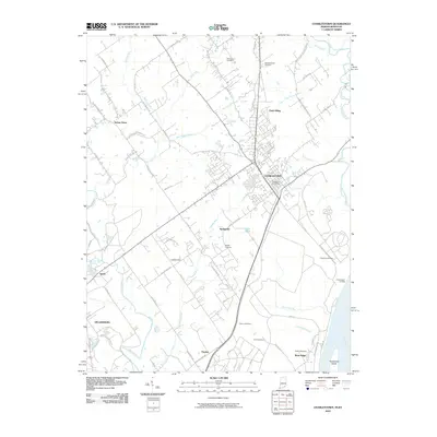
Date Portrayed1937
Date Published1937
PublisherU.S. Geological Survey
Map TypeTopographic
Scale1:24,000
Physical Dimensions22.1 x 26.9 inches
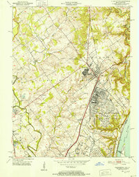
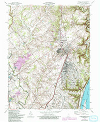
Editions of this 1937 Charlestown Map
This is the sole edition of this map. No revisions or reprints were ever made.
Historical Maps of Louisville Through Time
8 maps found
Featured Locations
Source Details
SourceU.S. Geological Survey
CopyrightPublic Domain