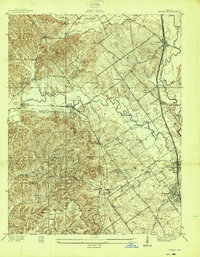
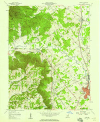
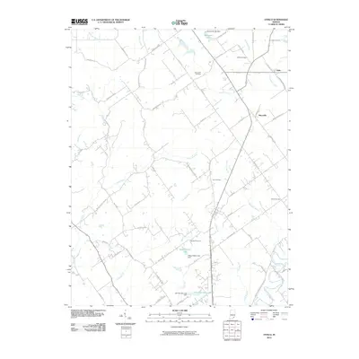
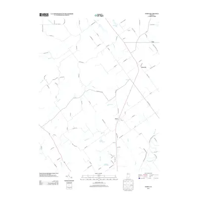
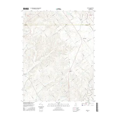
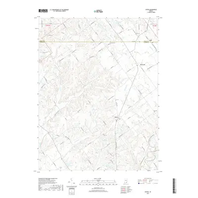
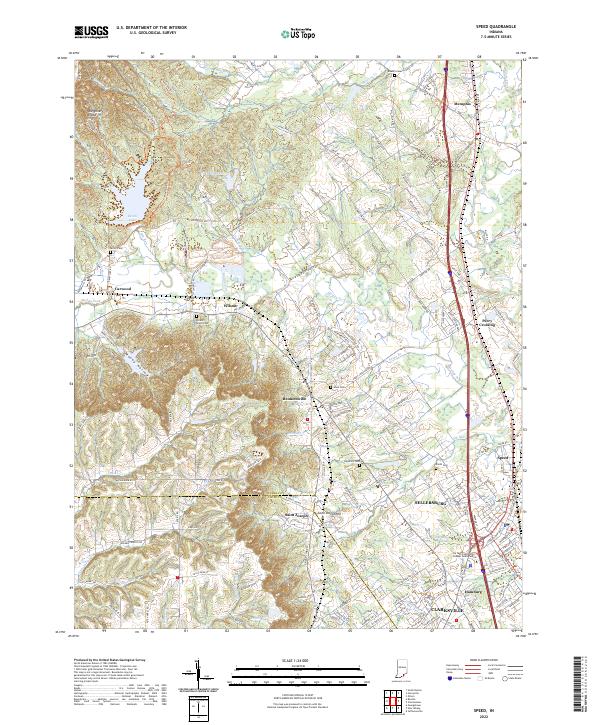
1938 Map of Speed
USGS Topo · Published 1938About this map
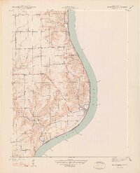
Silver Creek and the Muddy Fork dominate this 1930s landscape, serving as the drainage backbone for a region defined by its rail connections and varied topography. The eastern edge of the map shows the industrial and transit corridor running through Sellersburg and Speed, where the Pennsylvania Railroad and the Indiana Railroad (Electric) parallel each other. This infrastructure supported the local economy just before the onset of World War II, linking rural outposts like Bennettsville and Memphis to the wider region.
Find a feature on this map
44 named features on this map. Tap any name to fly to it.
Don’t see what you’re looking for? This feature index may not catch every label — zoom into the map to look around manually.
Map Details
Editions of this 1938 Speed Map
This is the sole edition of this map. No revisions or reprints were ever made.
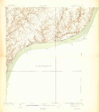
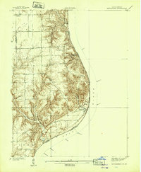
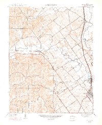
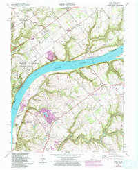
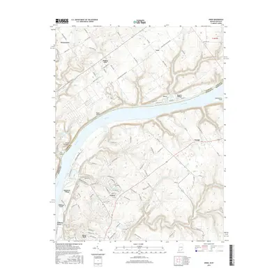
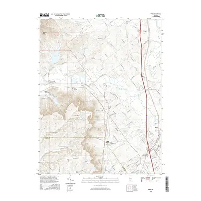
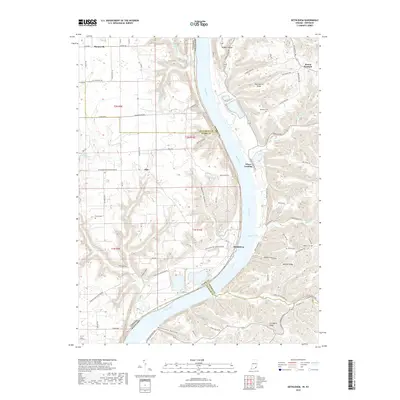
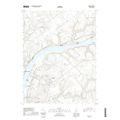
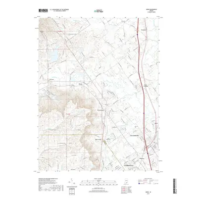
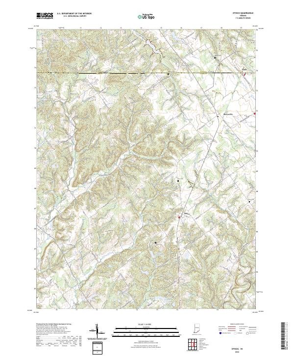
Historical Maps of Clarksville Through Time
31 maps found
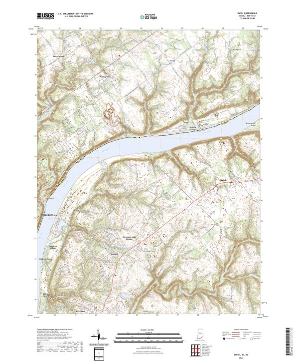
1938 Owen
Clark County, IN
1938 Speed
Clark County, IN
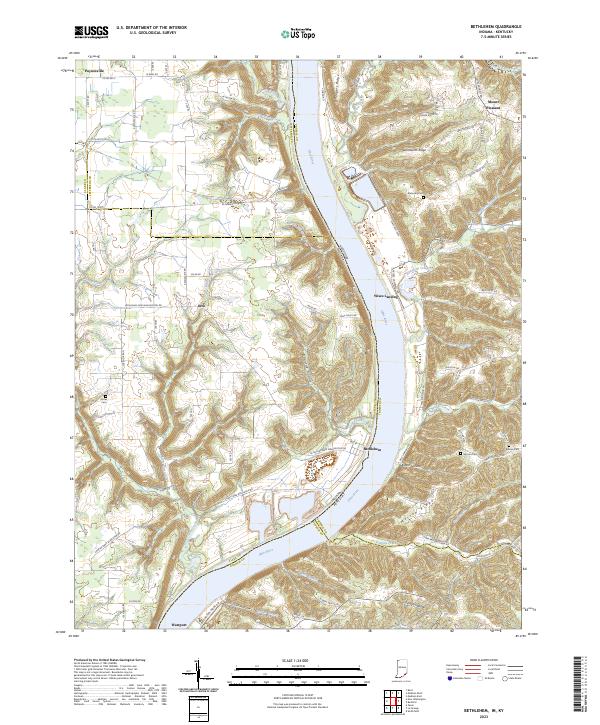
1939 Bethlehem
Clark County, IN
1947 Speed
Clark County, IN
1948 Bethlehem
Clark County, IN
1948 Owen
Clark County, IN
1953 Bethlehem
Clark County, IN
1956 Otisco
Clark County, IN
1957 Speed
Clark County, IN
1961 Owen
Clark County, IN
1963 Speed
Clark County, IN
2010 Bethlehem
Clark County, IN
2010 Otisco
Clark County, IN
2010 Owen
Clark County, IN
2010 Speed
Clark County, IN
2013 Bethlehem
Clark County, IN
2013 Otisco
Clark County, IN
2013 Owen
Clark County, IN
2013 Speed
Clark County, IN
2016 Bethlehem
Clark County, IN
2016 Otisco
Clark County, IN
2016 Owen
Clark County, IN
2016 Speed
Clark County, IN
2019 Bethlehem
Clark County, IN
2019 Otisco
Clark County, IN
2019 Owen
Clark County, IN
2019 Speed
Clark County, IN
2022 Otisco
Clark County, IN
2022 Owen
Clark County, IN
2022 Speed
Clark County, IN
2023 Bethlehem
Clark County, IN