Loading...
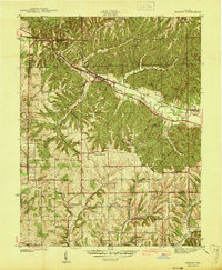
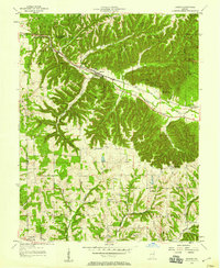
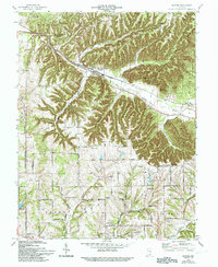
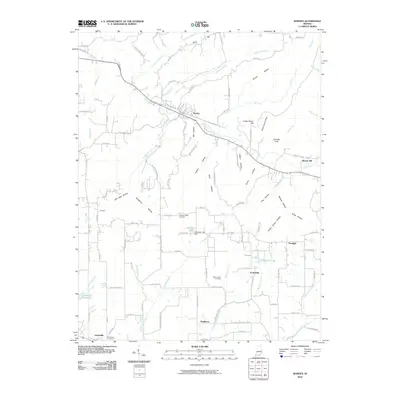
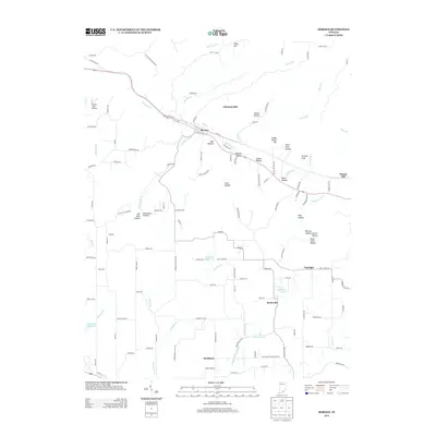
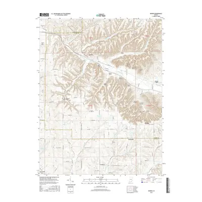
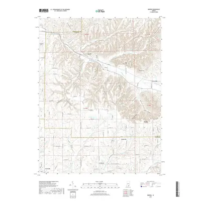
Loading map...1941 Map of Borden
USGS Topo · Published 1941About this map
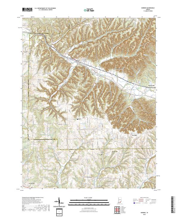
Borden serves as the central hub of this pre-war survey, situated where the Chicago Indianapolis And Louisville railroad follows the path of the Muddy Fork. The landscape is defined by the sharp transition between the wooded, dissected uplands to the north and the more open agricultural lands of southern Floyd County. These hills are home to the Borden Fire Tower and small, scattered settlements like Starlight and Navilleton.
Find a feature on this map
40 named features on this map. Tap any name to fly to it.
Don’t see what you’re looking for? This feature index may not catch every label — zoom into the map to look around manually.
Map Details
Date Portrayed1941
Date Published1941
PublisherU.S. Geological Survey
Map TypeTopographic
Scale1:24,000
Physical Dimensions22 x 26.8 inches
Editions of this 1941 Borden Map
This is the sole edition of this map. No revisions or reprints were ever made.
Historical Maps of Borden Through Time
8 maps found
Featured Locations
Source Details
SourceU.S. Geological Survey
CopyrightPublic Domain