
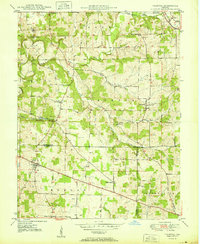
1950 Map of Palmyra
USGS Topo · Published 1950About this map
Palmyra serves as a central hub for this portion of southern Indiana, where a network of rural roads converges on the Harrison and Washington county lines. The landscape is defined by the winding paths of the South Fork Blue River and Bear Creek, which carved the terrain long before modern development reached these ridges. Small, community-oriented landmarks like Snyders Chapel and the Morgan Township Sch suggest a decentralized social structure common in mid-century rural communities.
Find a feature on this map
29 named features on this map. Tap any name to fly to it.
Don’t see what you’re looking for? This feature index may not catch every label — zoom into the map to look around manually.
Map Details
Editions of this 1950 Palmyra Map
2 editions found
Other maps of this area

1939 · Georgetown
USGS Topo · 1:24,000

1941 · Borden
USGS Topo · 1:24,000

1946 · Depauw
USGS Topo · 1:24,000

1947 · Georgetown
USGS Topo · 1:24,000

1949 · Georgetown
USGS Topo · 1:24,000

1950 · Salem
USGS Topo · 1:24,000

1950 · Becks Mill
USGS Topo · 1:24,000
1952 · Georgetown
USGS Topo · 1:24,000

1953 · Fredericksburg
USGS Topo · 1:24,000
1954 · Crandall
USGS Topo · 1:24,000