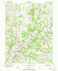
1954 Map of Crandall
USGS Topo · Published 1955About this map
The Southern railroad corridor anchors this mid-century survey of the Harrison and Floyd County borderlands, linking the rural hubs of Crandall and Corydon Junction. The landscape is defined by the winding course of Indian Creek, which carves deep valleys through the limestone terrain, influencing the placement of early homesteads and farm roads. Historically significant sites for genealogists include numerous denominational landmarks such as Old German Ch, St Michael Ch, and St Paulus Ch, alongside family burial grounds like Sappenfield Cem and Conrad Cem. Small crossroad settlements like Byrneville and Central Barren illustrate the traditional agrarian layout of southern Indiana before modern expansion. This documentation captures the area's transition, showing the High Sch at New Salisbury and the industrial utility of the Gaging Sta along the creek.
Find a feature on this map
39 named features on this map. Tap any name to fly to it.
Don’t see what you’re looking for? This feature index may not catch every label — zoom into the map to look around manually.
Map Details
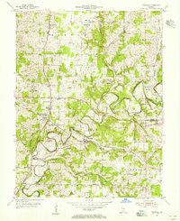
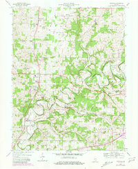
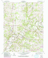
Editions of this 1954 Crandall Map
4 editions found
Other maps of this area

1909 · Kosmosdale
USGS Topo · 1:48,000

1912 · Kosmosdale
USGS Topo · 1:62,500

1931 · Corydon
USGS Topo · 1:62,500

1939 · Georgetown
USGS Topo · 1:24,000

1941 · Borden
USGS Topo · 1:24,000

1944 · Corydon West
USGS Topo · 1:24,000

1946 · Depauw
USGS Topo · 1:24,000

1947 · Georgetown
USGS Topo · 1:24,000

1947 · Corydon West
USGS Topo · 1:24,000

1948 · Corydon East
USGS Topo · 1:24,000